


Dr Karen Joyce
@drkjoyce.bsky.social
🌏🛰️ #Earthobservation #remotesensing #geospatial #dronemapping | Co-founder She Maps and GeoNadir | Assoc/Prof JCU | she/her |🔗https://linktr.ee/drkjoyce
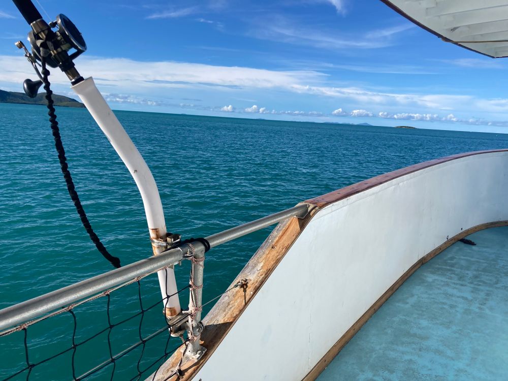
Hi ho, hi ho, it’s off to map we go
@sawsharkman.bsky.social
@sawsharkman.bsky.social

May 29, 2025 at 2:20 AM
Hi ho, hi ho, it’s off to map we go
@sawsharkman.bsky.social
@sawsharkman.bsky.social
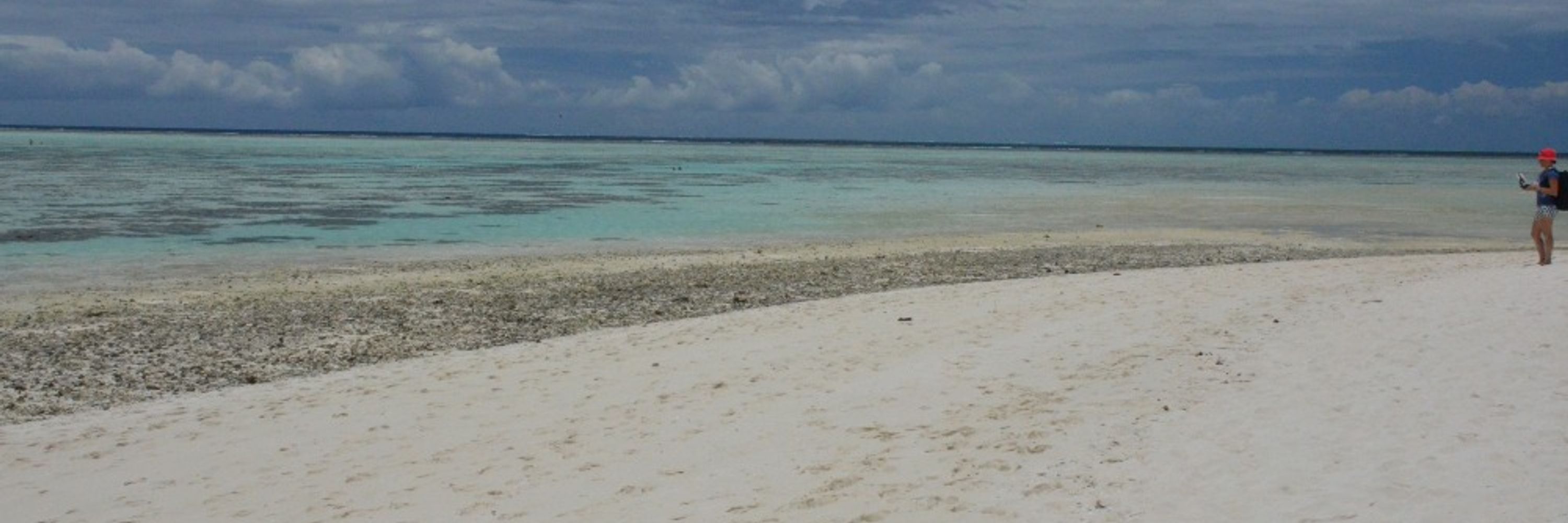
You might assume that Lizard Island is pristine, but it's not immune from the effects of litter. Unfortunately it was all too easy and fast to collect this haul.

May 28, 2025 at 1:04 AM
You might assume that Lizard Island is pristine, but it's not immune from the effects of litter. Unfortunately it was all too easy and fast to collect this haul.


It’s a lovely office at Lizard Island Research Station! Now I just need the wind to go away…


February 9, 2025 at 7:47 AM
It’s a lovely office at Lizard Island Research Station! Now I just need the wind to go away…
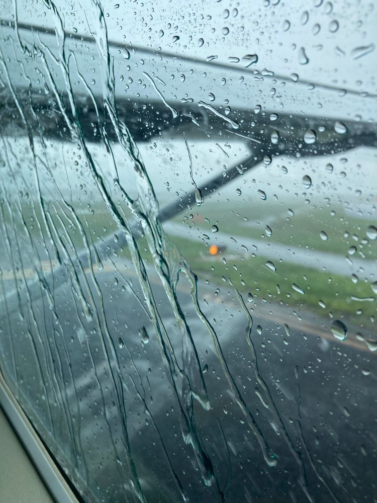
Waiting to take off en route Lizard Island Research Station… hope the weather is better there!
February 8, 2025 at 3:58 AM
Waiting to take off en route Lizard Island Research Station… hope the weather is better there!
Your girlfriend’s knitting is way better than mine, but I’m getting there! Has been a steep learning curve for a beginner :) Thx for the inspo!

February 5, 2025 at 9:39 AM
Your girlfriend’s knitting is way better than mine, but I’m getting there! Has been a steep learning curve for a beginner :) Thx for the inspo!
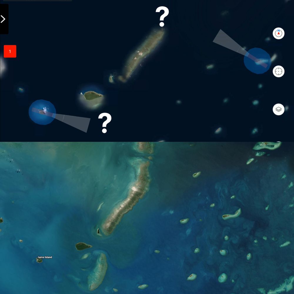
☁️Cloud computing at it's best haha :) With most pixels classified at cloud more than 70% of the time at our study site in the Torres Strait, we've had to get creative and use 193 images over two years to build a cloud free Sentinel-2 composite for habitat mapping

February 3, 2025 at 11:37 PM
☁️Cloud computing at it's best haha :) With most pixels classified at cloud more than 70% of the time at our study site in the Torres Strait, we've had to get creative and use 193 images over two years to build a cloud free Sentinel-2 composite for habitat mapping
All maps are wrong, but some are useful! My reefs of interest were missing from the Autel remote controller mission planner. Thankfully we had other data on hand on GeoNadir that we could use for planning to import!
February 2, 2025 at 11:05 PM
All maps are wrong, but some are useful! My reefs of interest were missing from the Autel remote controller mission planner. Thankfully we had other data on hand on GeoNadir that we could use for planning to import!
Send the robots to do the work! Blows my mind how small the propellors are on the Blueboat, but they are so effective!
February 1, 2025 at 2:26 AM
Send the robots to do the work! Blows my mind how small the propellors are on the Blueboat, but they are so effective!
All in a days work... Looking for sea cucumbers in the Torres Strait is perfectly suited for drones, keeping us safe from crocs, stingers, and sharks! #seacukescience

February 1, 2025 at 2:11 AM
All in a days work... Looking for sea cucumbers in the Torres Strait is perfectly suited for drones, keeping us safe from crocs, stingers, and sharks! #seacukescience
Progress report. After three days:
53 km surface drone surveys
23 km underwater drone surveys
89 ha aerial drone surveys
All in the spirit of #seacukescience! @sawsharkman.bsky.social
53 km surface drone surveys
23 km underwater drone surveys
89 ha aerial drone surveys
All in the spirit of #seacukescience! @sawsharkman.bsky.social
January 30, 2025 at 10:11 AM
Progress report. After three days:
53 km surface drone surveys
23 km underwater drone surveys
89 ha aerial drone surveys
All in the spirit of #seacukescience! @sawsharkman.bsky.social
53 km surface drone surveys
23 km underwater drone surveys
89 ha aerial drone surveys
All in the spirit of #seacukescience! @sawsharkman.bsky.social
Totally not the day for aerial drone mapping! The underwater team will have to shoulder the responsibility instead

January 30, 2025 at 3:34 AM
Totally not the day for aerial drone mapping! The underwater team will have to shoulder the responsibility instead
A little windier than we’d like, but still pretty good for #seacukescience #dronemapping

January 29, 2025 at 9:39 AM
A little windier than we’d like, but still pretty good for #seacukescience #dronemapping
When the tide is too high for aerial drone mapping, here’s our alternative! It’s doing a great job helping us map sea cucumbers #seacukescience @bluerobotics.bsky.social
January 29, 2025 at 8:45 AM
When the tide is too high for aerial drone mapping, here’s our alternative! It’s doing a great job helping us map sea cucumbers #seacukescience @bluerobotics.bsky.social
We are seeing a TON of sea stars! This is just a very small portion of a single photo, but it's like it across a whole drone ortho. Is there anyone working on these critters who might like a collab with our #seacukescience team? @sawsharkman.bsky.social

January 29, 2025 at 8:31 AM
We are seeing a TON of sea stars! This is just a very small portion of a single photo, but it's like it across a whole drone ortho. Is there anyone working on these critters who might like a collab with our #seacukescience team? @sawsharkman.bsky.social
First field trip job - set up the charging station! Aerial drones, under water ROVs, and surface drones! #seacukescience @sawsharkman.bsky.social
January 27, 2025 at 8:24 AM
First field trip job - set up the charging station! Aerial drones, under water ROVs, and surface drones! #seacukescience @sawsharkman.bsky.social
After missing all fieldwork last year thx to a destroyed achilles, it’s great to be on the boat again! In the Torres Strait looking for sea cucumbers:) #seacukescience @sawsharkman.bsky.social
January 27, 2025 at 8:21 AM
After missing all fieldwork last year thx to a destroyed achilles, it’s great to be on the boat again! In the Torres Strait looking for sea cucumbers:) #seacukescience @sawsharkman.bsky.social
For 25 years I have been trying to map live coral on the GBR. Now and then I get a step closer. Today was one of those days as we continue to test our latest #GeoAI on @geonadir.bsky.social. No labeling required, working with a single word prompt. Not perfect, many caveats, but ultra cool.
December 9, 2024 at 7:00 AM
For 25 years I have been trying to map live coral on the GBR. Now and then I get a step closer. Today was one of those days as we continue to test our latest #GeoAI on @geonadir.bsky.social. No labeling required, working with a single word prompt. Not perfect, many caveats, but ultra cool.
Most of us have experienced a fave foodie place closing down, but how many come back? Today celebrating the resurrection of Balabite in Townsville! I think it was a covid casualty- has been gone for a couple of years. But yay for its return!!

December 3, 2024 at 8:37 AM
Most of us have experienced a fave foodie place closing down, but how many come back? Today celebrating the resurrection of Balabite in Townsville! I think it was a covid casualty- has been gone for a couple of years. But yay for its return!!
JCU Bebegu Yumba (Townsville AKA Brownsville) feeling very green and tropical for a change! Too bad I’ll be in the computer lab all week

December 1, 2024 at 10:21 PM
JCU Bebegu Yumba (Townsville AKA Brownsville) feeling very green and tropical for a change! Too bad I’ll be in the computer lab all week
WTF CD-ROM? Trying to update my ArcGIS Pro...

November 27, 2024 at 9:59 AM
WTF CD-ROM? Trying to update my ArcGIS Pro...
Ooops, sorry Tassie, seems you weren't part of the model training...

November 26, 2024 at 3:15 AM
Ooops, sorry Tassie, seems you weren't part of the model training...
Nine seconds to detect and map these palm trees with a single prompt. No labeling or other training required. This is the cool #geoAI we're building at @geonadir.bsky.social!
Real-time animation 👇🏼
Real-time animation 👇🏼
November 26, 2024 at 12:59 AM
Nine seconds to detect and map these palm trees with a single prompt. No labeling or other training required. This is the cool #geoAI we're building at @geonadir.bsky.social!
Real-time animation 👇🏼
Real-time animation 👇🏼