


Geo Week
@geo-week.bsky.social
Geo Week brings together geospatial and mapping professionals to explore how data, maps, and advanced technologies can deepen our understanding and inform solutions for complex challenges.
Save the date: February 16-18, 2026
https://www.geo-week.com
Save the date: February 16-18, 2026
https://www.geo-week.com
BIG NEWS! Hexagon's CTO, Burkhard Boeckem, will keynote Geo Week with Precision and Intelligence: Powering the Next Era of Geospatial Innovation.
Hear how AI and precision data are transforming geospatial tech. Read more and register: bit.ly/HEXAGONKEYNOTE
Hear how AI and precision data are transforming geospatial tech. Read more and register: bit.ly/HEXAGONKEYNOTE

November 6, 2025 at 9:47 PM
BIG NEWS! Hexagon's CTO, Burkhard Boeckem, will keynote Geo Week with Precision and Intelligence: Powering the Next Era of Geospatial Innovation.
Hear how AI and precision data are transforming geospatial tech. Read more and register: bit.ly/HEXAGONKEYNOTE
Hear how AI and precision data are transforming geospatial tech. Read more and register: bit.ly/HEXAGONKEYNOTE
There’s nothing like being at Geo Week. Thousands of professionals, breakthrough technology, and world-class education, together in one place. See what’s driving the next era of geospatial innovation.
REGISTER TODAY: bit.ly/GW26REG
REGISTER TODAY: bit.ly/GW26REG
November 5, 2025 at 9:07 PM
There’s nothing like being at Geo Week. Thousands of professionals, breakthrough technology, and world-class education, together in one place. See what’s driving the next era of geospatial innovation.
REGISTER TODAY: bit.ly/GW26REG
REGISTER TODAY: bit.ly/GW26REG
Thousands of professionals from around the world gather at Geo Week to share ideas, form partnerships, and shape the future of geospatial technology. Build your network and your impact.
REGISTER TODAY: bit.ly/GW26REG
REGISTER TODAY: bit.ly/GW26REG
October 30, 2025 at 2:05 PM
Thousands of professionals from around the world gather at Geo Week to share ideas, form partnerships, and shape the future of geospatial technology. Build your network and your impact.
REGISTER TODAY: bit.ly/GW26REG
REGISTER TODAY: bit.ly/GW26REG
In today’s data-rich GIS environments, imagery is more valuable than ever. In this webinar, Matt Plummer of ROK Technologies, LLC will walk through practical strategies for publishing, managing, and delivering geospatial imagery in the cloud.
Register: bit.ly/ROKTECHNOV5
Register: bit.ly/ROKTECHNOV5

October 29, 2025 at 7:55 PM
In today’s data-rich GIS environments, imagery is more valuable than ever. In this webinar, Matt Plummer of ROK Technologies, LLC will walk through practical strategies for publishing, managing, and delivering geospatial imagery in the cloud.
Register: bit.ly/ROKTECHNOV5
Register: bit.ly/ROKTECHNOV5
Surveyors are being called to broaden their scope—from boundary and land work to infrastructure monitoring, reality capture and data-driven roles.
Read more >> bit.ly/4hoRx5L
#GeoWeek #Surveying #Geospatial #RealityCapture #Monitoring
Read more >> bit.ly/4hoRx5L
#GeoWeek #Surveying #Geospatial #RealityCapture #Monitoring

October 23, 2025 at 8:19 PM
Surveyors are being called to broaden their scope—from boundary and land work to infrastructure monitoring, reality capture and data-driven roles.
Read more >> bit.ly/4hoRx5L
#GeoWeek #Surveying #Geospatial #RealityCapture #Monitoring
Read more >> bit.ly/4hoRx5L
#GeoWeek #Surveying #Geospatial #RealityCapture #Monitoring
It’s here! The 2026 Geo Week Conference Program features over 50 sessions on 3D mapping, AI, lidar, digital twins & more, plus content by ASPRS and Reality Capture Network.
View the full lineup: bit.ly/GW26CONFERENCE
View the full lineup: bit.ly/GW26CONFERENCE


October 23, 2025 at 4:47 PM
It’s here! The 2026 Geo Week Conference Program features over 50 sessions on 3D mapping, AI, lidar, digital twins & more, plus content by ASPRS and Reality Capture Network.
View the full lineup: bit.ly/GW26CONFERENCE
View the full lineup: bit.ly/GW26CONFERENCE
Researchers are fusing historic records with modern #GPR, #Lidar, and sonar to map underground infrastructure, archaeological remains, and seafloor features. These techniques let planners see hidden layers below urban and coastal landscapes.
Read more >> bit.ly/4qFJ1np #GeoWeek #Mapping #Subsurface
Read more >> bit.ly/4qFJ1np #GeoWeek #Mapping #Subsurface

October 22, 2025 at 4:56 PM
Researchers are fusing historic records with modern #GPR, #Lidar, and sonar to map underground infrastructure, archaeological remains, and seafloor features. These techniques let planners see hidden layers below urban and coastal landscapes.
Read more >> bit.ly/4qFJ1np #GeoWeek #Mapping #Subsurface
Read more >> bit.ly/4qFJ1np #GeoWeek #Mapping #Subsurface
At Bentley’s Year in Infrastructure event, #AI took center stage in conversations about infrastructure, #engineering, and #geospatial workflows. Read more >> bit.ly/48FzFkU #GeoWeek

October 21, 2025 at 2:08 PM
At Bentley’s Year in Infrastructure event, #AI took center stage in conversations about infrastructure, #engineering, and #geospatial workflows. Read more >> bit.ly/48FzFkU #GeoWeek
Researchers are using LiDAR to study rainforest canopy layers in Queensland and deploying floating #LiDAR to improve offshore wind planning. #EnvironmentalScience and renewable infrastructure now share the same #geospatial toolkit.
Read more >> bit.ly/47tzwjg #GeoWeek #RemoteSensing #Sustainability
Read more >> bit.ly/47tzwjg #GeoWeek #RemoteSensing #Sustainability

October 17, 2025 at 4:38 PM
Researchers are using LiDAR to study rainforest canopy layers in Queensland and deploying floating #LiDAR to improve offshore wind planning. #EnvironmentalScience and renewable infrastructure now share the same #geospatial toolkit.
Read more >> bit.ly/47tzwjg #GeoWeek #RemoteSensing #Sustainability
Read more >> bit.ly/47tzwjg #GeoWeek #RemoteSensing #Sustainability
@bsy.bsky.social is driving #infrastructure #AI forward with new tools like OpenSite+, Substation+, SYNCHRO+, and enhanced AI search in ProjectWise. A fresh co-innovation initiative aims to have users partner in shaping future AI workflows.
Read more >> bit.ly/3WIWfSg
#GeoWeek #Geospatial
Read more >> bit.ly/3WIWfSg
#GeoWeek #Geospatial

October 16, 2025 at 5:02 PM
@bsy.bsky.social is driving #infrastructure #AI forward with new tools like OpenSite+, Substation+, SYNCHRO+, and enhanced AI search in ProjectWise. A fresh co-innovation initiative aims to have users partner in shaping future AI workflows.
Read more >> bit.ly/3WIWfSg
#GeoWeek #Geospatial
Read more >> bit.ly/3WIWfSg
#GeoWeek #Geospatial
Even with powerful tools from Esri, Trimble and Hexagon Geospatial, true geospatial intelligence can’t be automated entirely. Human context, legacy knowledge and validation remain essential.
Read more >> bit.ly/4nRjDJd
#GeoWeek #AI #Geospatial #HumanInTheLoop
Read more >> bit.ly/4nRjDJd
#GeoWeek #AI #Geospatial #HumanInTheLoop

October 15, 2025 at 5:30 PM
Even with powerful tools from Esri, Trimble and Hexagon Geospatial, true geospatial intelligence can’t be automated entirely. Human context, legacy knowledge and validation remain essential.
Read more >> bit.ly/4nRjDJd
#GeoWeek #AI #Geospatial #HumanInTheLoop
Read more >> bit.ly/4nRjDJd
#GeoWeek #AI #Geospatial #HumanInTheLoop
Geo Week’s success is built on the insight of industry leaders who help us stay ahead of a rapidly evolving landscape.
Meet the 2026 Advisory Board, innovators and experts driving progress across the geospatial and 3D technology ecosystem.
Full Press Release: bit.ly/GW26ADVIBOARD
Meet the 2026 Advisory Board, innovators and experts driving progress across the geospatial and 3D technology ecosystem.
Full Press Release: bit.ly/GW26ADVIBOARD

October 15, 2025 at 2:47 PM
Geo Week’s success is built on the insight of industry leaders who help us stay ahead of a rapidly evolving landscape.
Meet the 2026 Advisory Board, innovators and experts driving progress across the geospatial and 3D technology ecosystem.
Full Press Release: bit.ly/GW26ADVIBOARD
Meet the 2026 Advisory Board, innovators and experts driving progress across the geospatial and 3D technology ecosystem.
Full Press Release: bit.ly/GW26ADVIBOARD
Trimble's new data collectors (TSC710, TSC510, T110) are built to handle harsh conditions, big data, and always-on connections. With Trimble Connect® and WorksManager integration, field teams get real-time updates and fewer reworks. Read more >> bit.ly/4hukzBf
#GeoWeek #Surveying #FieldTech
#GeoWeek #Surveying #FieldTech

October 14, 2025 at 5:42 PM
Trimble's new data collectors (TSC710, TSC510, T110) are built to handle harsh conditions, big data, and always-on connections. With Trimble Connect® and WorksManager integration, field teams get real-time updates and fewer reworks. Read more >> bit.ly/4hukzBf
#GeoWeek #Surveying #FieldTech
#GeoWeek #Surveying #FieldTech
NPUs are purpose-built chips that can accelerate AI tasks directly on survey and mapping instruments. With tools like NeRFs and onboard processing, remote workflows become faster and more efficient.
Read more >> bit.ly/4n3hEAt
#GeoWeek #NeuralProcessing #Geospatial #TechInnovation
Read more >> bit.ly/4n3hEAt
#GeoWeek #NeuralProcessing #Geospatial #TechInnovation

October 9, 2025 at 5:39 PM
NPUs are purpose-built chips that can accelerate AI tasks directly on survey and mapping instruments. With tools like NeRFs and onboard processing, remote workflows become faster and more efficient.
Read more >> bit.ly/4n3hEAt
#GeoWeek #NeuralProcessing #Geospatial #TechInnovation
Read more >> bit.ly/4n3hEAt
#GeoWeek #NeuralProcessing #Geospatial #TechInnovation
A new UK effort is helping students discover geospatial and environmental careers through classroom engagement and mentorship. At the same time, oriented imagery is giving #GIS teams new ways to extract value from #drone and mobile imagery.
Read more >> bit.ly/48Szoef
#GeoWeek #Geospatial #STEM
Read more >> bit.ly/48Szoef
#GeoWeek #Geospatial #STEM
October 8, 2025 at 5:36 PM
A new UK effort is helping students discover geospatial and environmental careers through classroom engagement and mentorship. At the same time, oriented imagery is giving #GIS teams new ways to extract value from #drone and mobile imagery.
Read more >> bit.ly/48Szoef
#GeoWeek #Geospatial #STEM
Read more >> bit.ly/48Szoef
#GeoWeek #Geospatial #STEM
Topcon has created a standalone geomatics division to consolidate its #surveying, #GIS, and #geospatial solutions into one unit. This step underscores the rising importance of spatial intelligence across industries. Read more >> bit.ly/4nuLzm4 #GeoWeek
October 7, 2025 at 1:12 PM
Topcon has created a standalone geomatics division to consolidate its #surveying, #GIS, and #geospatial solutions into one unit. This step underscores the rising importance of spatial intelligence across industries. Read more >> bit.ly/4nuLzm4 #GeoWeek
The crew revived their #airborne profiling system and #launched flights over the Amazon to trace the jungle floor. When the weather turned, they found and landed on a cleared patch of forest runway in the nick of time. Read more >> bit.ly/4nCahBh #GeoWeek #AirborneProfileRecorder #lidar

October 6, 2025 at 7:16 PM
The crew revived their #airborne profiling system and #launched flights over the Amazon to trace the jungle floor. When the weather turned, they found and landed on a cleared patch of forest runway in the nick of time. Read more >> bit.ly/4nCahBh #GeoWeek #AirborneProfileRecorder #lidar
In 2025 the #UAV #LiDAR sector is gaining serious traction, with better sensors, smarter systems, and expanded use cases. Key players are rolling out solutions for infrastructure, survey, and even underwater terrain #mapping. Read more >> bit.ly/4nEAXBl #GeoWeek

October 6, 2025 at 12:13 PM
In 2025 the #UAV #LiDAR sector is gaining serious traction, with better sensors, smarter systems, and expanded use cases. Key players are rolling out solutions for infrastructure, survey, and even underwater terrain #mapping. Read more >> bit.ly/4nEAXBl #GeoWeek
BIG NEWS: Geo Week 2026 registration is open.
Three days in Denver. Thousands of geospatial professionals. The latest technology, insights, and connections all in one place.
Are you in? Register today: bit.ly/GW26REGOPEN
Three days in Denver. Thousands of geospatial professionals. The latest technology, insights, and connections all in one place.
Are you in? Register today: bit.ly/GW26REGOPEN

October 1, 2025 at 3:57 PM
BIG NEWS: Geo Week 2026 registration is open.
Three days in Denver. Thousands of geospatial professionals. The latest technology, insights, and connections all in one place.
Are you in? Register today: bit.ly/GW26REGOPEN
Three days in Denver. Thousands of geospatial professionals. The latest technology, insights, and connections all in one place.
Are you in? Register today: bit.ly/GW26REGOPEN
🌍 Chart solutions. Shape change. UC's online MS in Geographic Information Systems (MS-GIS) equips you to design, manage & analyze geospatial data—100% online and flexible for working professionals. Ready to map your future? 👉 bit.ly/Universityof...

October 1, 2025 at 3:16 PM
🌍 Chart solutions. Shape change. UC's online MS in Geographic Information Systems (MS-GIS) equips you to design, manage & analyze geospatial data—100% online and flexible for working professionals. Ready to map your future? 👉 bit.ly/Universityof...
Progress AI from DroneDeploy uses #drone flights and #360camera data to give construction teams fast, automated insights. It surfaces stalled work, missing data, milestone status, and helps cut down manual overhead. Read more >> bit.ly/46Y8oJ2 #GeoWeek

September 26, 2025 at 5:06 PM
Progress AI from DroneDeploy uses #drone flights and #360camera data to give construction teams fast, automated insights. It surfaces stalled work, missing data, milestone status, and helps cut down manual overhead. Read more >> bit.ly/46Y8oJ2 #GeoWeek
Extreme drought is damaging roadways, and #lidar is revealing hidden #geological features below. At the same time, work to recreate #Stonehenge and build an Earth digital twin is gaining momentum. Read more >> bit.ly/4pGZlU4 #GeoWeek

September 25, 2025 at 5:28 PM
Extreme drought is damaging roadways, and #lidar is revealing hidden #geological features below. At the same time, work to recreate #Stonehenge and build an Earth digital twin is gaining momentum. Read more >> bit.ly/4pGZlU4 #GeoWeek
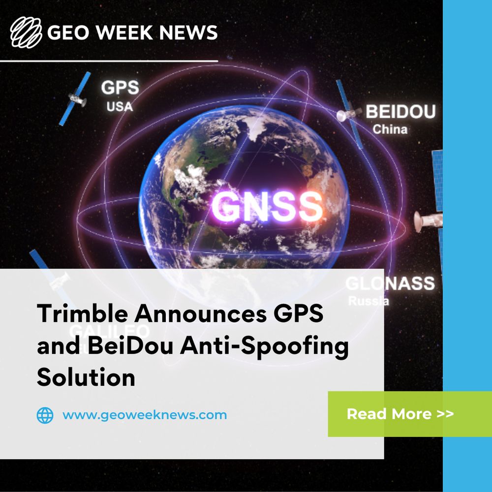
Trimble’s new RTX-NMA adds authentication layers to secure #GPS and #BeiDou signals against spoofing. Receivers can cross-check message tags to reject bad data and ensure accurate navigation. Read more >> bit.ly/47UvRvJ #GeoWeek
September 25, 2025 at 1:11 PM
Trimble’s new RTX-NMA adds authentication layers to secure #GPS and #BeiDou signals against spoofing. Receivers can cross-check message tags to reject bad data and ensure accurate navigation. Read more >> bit.ly/47UvRvJ #GeoWeek
Applications are open for the Geo Empower Event Scholarship. U.S. university students using geospatial, surveying, mapping, or 3D tech for social and environmental impact are encouraged to apply by Oct 31.
Apply: bit.ly/GWEMPOWER26
Apply: bit.ly/GWEMPOWER26

September 24, 2025 at 3:00 PM
Applications are open for the Geo Empower Event Scholarship. U.S. university students using geospatial, surveying, mapping, or 3D tech for social and environmental impact are encouraged to apply by Oct 31.
Apply: bit.ly/GWEMPOWER26
Apply: bit.ly/GWEMPOWER26
New breakthroughs in neural terrain mapping and AI #lidar offer more powerful #geospatial tools. Still, the real work lies in overcoming data complexity and workflow friction. Read more >> bit.ly/427Wh9C
#GeoWeek
#GeoWeek

September 24, 2025 at 1:54 PM
New breakthroughs in neural terrain mapping and AI #lidar offer more powerful #geospatial tools. Still, the real work lies in overcoming data complexity and workflow friction. Read more >> bit.ly/427Wh9C
#GeoWeek
#GeoWeek