Ireland Mapped - OS200
@irelandmapped.bsky.social
600 followers 100 following 21 posts
@irishresearch @ahrcpress joint funded. Digitally Remapping Ireland's Ordnance Survey Heritage. @UniOfLimerick.bsky.social @QUBelfastOfficial.bsky.social @ULGeog.bsky.social @QUBGeography
Posts Media Videos Starter Packs
Pinned
irelandmapped.bsky.social
Check out the Digital Archive of Ireland’s Ordnance Survey online at dri.ie/os200
OS200
dri.ie
Reposted by Ireland Mapped - OS200
profkdlilley.bsky.social
Oh yes, more maps, another public talk this time with Belfast Natural History and Philosophical Society, Wednesday evening all welcome 👍
www.belfastsociety.org/page-2/
Reposted by Ireland Mapped - OS200
drfranceskane.bsky.social
Writing for the OS memoirs, John O’Donovan comments “what a pit-y that the Irish were so fond of calling places after such pits as the pit of Queen Meve” 😂 @irelandmapped.bsky.social
placenamesni.bsky.social
Rising to 687 metres, Sawel Mountain is the highest peak of the Sperrins, sitting on the border of Counties Derry and Tyrone. The full name of the mountain is Samhail Phite Méabha ‘likeness to Maeve’s vulva’ and is said to be used metaphorically to refer to a hollow on the side of the mountain.
irelandmapped.bsky.social
Our project book has reached the printers! We look forward to sharing it with you really soon but for now here’s a wee taster 😊 @researchireland.ie @ukri.org #AHRC @profkdlilley.bsky.social @catsporter.bsky.social
Reposted by Ireland Mapped - OS200
rtebrainstorm.bsky.social
The story behind the benchmarks hiding in plain sight around Ireland. The Ordnance Survey marks chiselled into buildings, walls & bridges were originally used to measure height across the country. By @catsporter.bsky.social & Margaret O'Sullivan @unioflimerick.bsky.social www.rte.ie/brainstorm/2...
The story behind the benchmarks hiding in plain sight in Ireland
The Ordnance Survey benchmarks chiselled into buildings, walls and bridges were originally used to measure height across Ireland
www.rte.ie
Reposted by Ireland Mapped - OS200
catsporter.bsky.social
Looking for a free outdoor activity with the kids this weekend? Why not try out the 'Locating Bench Marks, Preserving Heritage' project app and do some bench mark hunting!
@unioflimerick.bsky.social @heritagecouncil.ie @limerickcouncil.bsky.social
irelandmapped.bsky.social
Our latest project publication is out in Irish Geography! In 'Isolated data showers', @catsporter.bsky.social and @zenobiewan.bsky.social explore the early nineteenth-century weather journals recorded by the Ordnance Survey in the OS Memoirs.

doi.org/10.55650/igj...
Isolated data showers: exploring nineteenth century weather observations by the first Ordnance Survey of Ireland | Irish Geography
doi.org
Reposted by Ireland Mapped - OS200
catsporter.bsky.social
Thanks to everyone who supported our launch event today for 'Locating Bench Marks, Preserving Heritage'. If you missed it, you can catch up here: shorturl.at/IBk0m

Scan the QR code below to access the project website and mobile app to start collecting bench marks in County Limerick!
Reposted by Ireland Mapped - OS200
tailteeireann.bsky.social
“Locating Benchmarks, Preserving Heritage” project aims to locate and photograph the remaining Ordnance Survey benchmarks in County Limerick, estimate the loss of this important heritage, and move towards better recognition and protection of benchmarks.

More info: ul.libcal.com/calendar/eve...
Reposted by Ireland Mapped - OS200
catsporter.bsky.social
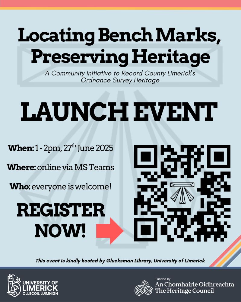
We are pleased to share details of the Locating Bench Marks, Preserving Heritage launch event at 1-2 pm on Friday, 27th June 2025.

The event is FREE and will be held online via MS Teams. All are welcome!

Please register for the event here: ul.libcal.com/calendar/eve...
Or, the QR code below
irelandmapped.bsky.social
The latest from our new sister project in County Limerick!
catsporter.bsky.social
Delighted to announce that the 'Locating Bench Marks, Preserving Heritage' community collection app and website are coming soon.

Details of the launch event at the end of June will be released shortly!
irelandmapped.bsky.social
Sure don’t we love to chat about the weather ☀️
catsporter.bsky.social
Looking forward to this event next week when I’ll be talking about some of the latest research to come out of the #OS200 project @irelandmapped.bsky.social
lscholz.bsky.social
Join us online on 21 March 12pm (BST) for the another event in our series on Environmental Digital Humanities:
@catsporter.bsky.social will give a talk titled "Exploring the Weather in Early Nineteenth-Century Ireland".
#digitalhumanities #skystorians
@kmcdono.bsky.social
Reposted by Ireland Mapped - OS200
dri.ie
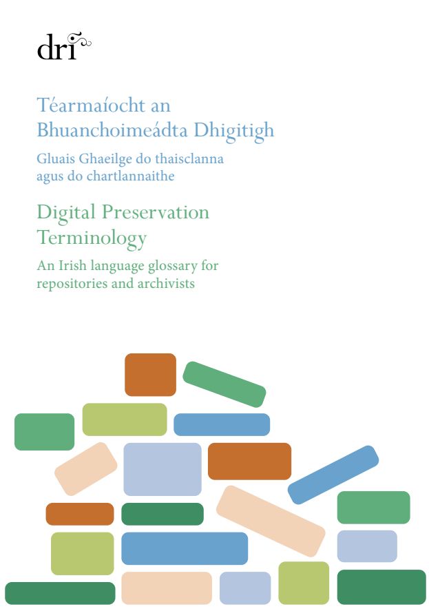
📣 Announcing the launch of Digital Preservation Terminology: an Irish Language Glossary for Repositories and Archivists.

This landmark glossary establishes a standardised set of 68 Irish-language terms for digital preservation, developed by DRI with @gaois.bsky.social.

More: dri.ie/news/dri-lau...
Cover of the book "Digital Preservation Terminology," featuring a modern design and relevant imagery related to digital archiving.
irelandmapped.bsky.social
We have a couple of talks coming up in the next few weeks, beginning with this one @nifhs.bsky.social 👇If your local community group would like to learn more about #OS200 and how to use the resource, please get in contact.
catsporter.bsky.social
Delighted to return to the @nifhs.bsky.social AGM on Monday 12th May. This time I'll be talking about how to use @irelandmapped.bsky.social online resource hosted by @dri.ie. Why not try it out yourself: dri.ie/os200
OS200
dri.ie
irelandmapped.bsky.social
We’re at #CIG2025 this week! While you’re grabbing food and refreshments why not have a look at our #OS200 project banners in the food hall
irelandmapped.bsky.social
Check out details of our latest sister project coming your way soon in County Limerick @unioflimerick.bsky.social
unioflimerick.bsky.social
A new project led by Dr Catherine Porter, Associate Professor in Geography at UL, aims to locate, record and move towards the preservation of an ‘important heritage relic’ from nineteenth-century Ireland for the very first time.

Read on: www.ul.ie/news/new-ul-...

#StudyAtUL #StayCurious
A photo of a large old piece of masonry with markings and faded writing on it
irelandmapped.bsky.social
Our latest project related publication led by our project partners @dri.ie is now available to read through the link below
dri.ie
DRI's @lisagriffith.bsky.social and Stuart Kenny along with members of the @irelandmapped.bsky.social project contributed to a new paper on ‘A Digital Archive of Ireland’s Ordnance Survey’: Connecting Collections for Nineteenth-Century Ireland: doi.org/10.5334/johd... #Mapping #OrdnanceSurvey
‘A Digital Archive of Ireland’s Ordnance Survey’: Connecting Collections for Nineteenth-Century Ireland | Journal of Open Humanities Data
doi.org
Reposted by Ireland Mapped - OS200
unioflimerick.bsky.social
RTÉ Brainstorm’s latest podcast explores the story of the first all-Ireland mapping survey 200 years ago, based on a piece co-written by Dr Catherine Porter, School of History & Geography.

www.rte.ie/brainstorm/2...

@catsporter.bsky.social
@profkdlilley.bsky.social
@irelandmapped.bsky.social
An illustration of a group of people in old-fashioned dress, standing among tents on an open landscape
Reposted by Ireland Mapped - OS200
dri.ie
Vote for 'A Digital Archive of Ireland’s Ordnance Survey’ in the @dhawards.bsky.social under the ‘Best #DigitalHumanities Resource’ category!

This resource was developed in partnership with DRI as part of the @irelandmapped.bsky.social project.

Find out more and vote: dri.ie/news/os200-d...
Map interface with Ordnance Survey Ireland base layer selected and townlands shapefile displayed.
irelandmapped.bsky.social
Voting has now opened for the DH Awards 2024. It looks like there's some tough competition, and we'd be very grateful if you would consider voting for our #OS200 online resource served through @dri.ie dhawards.org/dhawards2024... #LoveIrishResearch @researchireland.bsky.social @ukri.org #AHRC #DH
Reposted by Ireland Mapped - OS200
catsporter.bsky.social
The spring talk season continues for @irelandmapped.bsky.social with a visit to Tulla History Society last night (with time for some County Clare bench mark hunting) #LoveIrishResearch #OS200
Reposted by Ireland Mapped - OS200

catsporter.bsky.social
Looking forward to my talk this lunchtime with the Genealogy and Local Studies Group of the Library Association of Ireland.

I'll be discussing the opportunities and challenges of working with early source materials in digital humanities projects such as @irelandmapped.bsky.social #DH #OS200