Katharine M. Kanak, PhD
@kmkanak.bsky.social
940 followers 990 following 36 posts
Atmospheric Scientist. Former Adjunct Associate Professor and Research Scientist, School of Meteorology, University of Oklahoma. LES, dust devils on Earth and Mars, supercells, tornadoes, mammatus, hail, and cloud physics.
Posts Media Videos Starter Packs
kmkanak.bsky.social
That’s awesome - can’t wait to see your findings!
kmkanak.bsky.social
Maybe could look at MRMS MESH and see how it compares with Wendt and Jirak 2021 and see if the difference between MESH and observed is filling in at all.
kmkanak.bsky.social
Great work! Looks like 2023-2024 were definitely more intense in the Plains.
kmkanak.bsky.social
Took a better look on a bigger screen. Looks like straight-line dust movement (left to right) with embedded dusty updraft plumes. Maybe a larger dust devil in the foreground too. Nice imagery.
kmkanak.bsky.social
I was distracted by the dust devils and missed that the focus was on the horizon. Wasn’t sure if the features on the right were dust devils or non-rotating surface-based updraft plumes, but I see now they are dust devils. I’m not sure what to make of the flat features. Interesting for sure! :)
kmkanak.bsky.social
2/2 and Kelly et al. (1985; MWR) who found only 4% of tornado reports had hail reports with them for 1955-1983.
kmkanak.bsky.social
1/2 A couple of older papers that support this are: Morgan and Summers (1982; Thunderstorms, Kessler ed.) who discuss the tendency to report the most severe event such that hail reports take a backseat to tornado or damaging wind reports; ...
kmkanak.bsky.social
I’m so sorry… you’re doing such amazing work
kmkanak.bsky.social
*to find the parcel that maximizes CAPE
kmkanak.bsky.social
I wonder if a possible method could be to start with the parcel with max theta-e in lowest 300 mb and with some really efficient code ;) check “adjacent” parcels that optimize the CAPE over the entire depth.
kmkanak.bsky.social
Max theta-e in the lowest 400 mb?
kmkanak.bsky.social
Looks like both the links you posted go to the ttu doc
kmkanak.bsky.social
Edwards et al. (2013) cite it as WSEC (2006) with reference: WSEC, 2006: A recommendation for an enhanced Fujita
scale (EF-scale). Texas Tech University Wind Sci-
ence and Engineering Center Rep., 95 pp. [Available
online at www.depts.ttu.edu/weweb/pubs/fscale
/efscale.pdf.]
National Wind Institute | National Wind Institute | TTUNWI circle with text 9Like National Wind Institute on FacebookFollow National Wind Institute on X (twitter)Connect with National Wind Institute ...
www.depts.ttu.edu
kmkanak.bsky.social
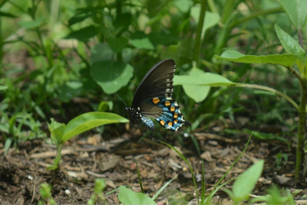
Finally captured a blue swallowtail butterfly in a photo today.
Blue swallowtail butterfly on ground surrounded by green pepper plants and other plants. Butterfly is iridescent blue but appears mostly black with orange, blue and white spots on hind wings
kmkanak.bsky.social
Very nice work and really interesting! Defining an”outbreak “ is certainly not easy. Thanks for your intriguing findings and for the discussion.
kmkanak.bsky.social
Thanks so much! I appreciate your efforts 😊
kmkanak.bsky.social
Hi Nick - How many tornadoes were in your total count?