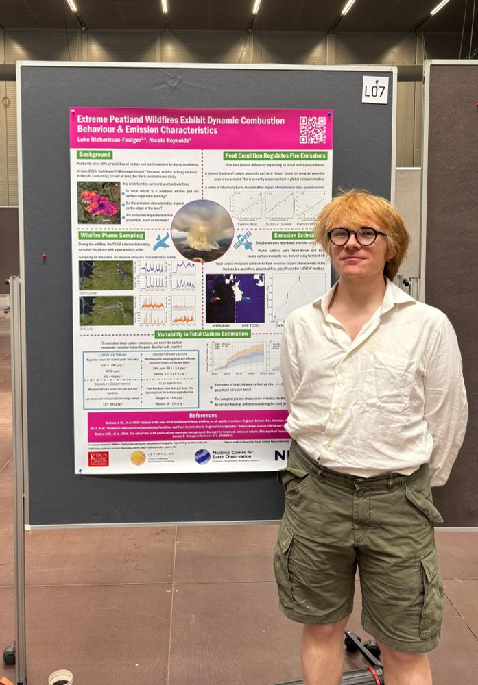
Luke Richardson-Foulger
@lukemrf.bsky.social
120 followers
380 following
11 posts
Wildfire Scientist🔥Bog Botherer🌿| King's College London - NCEO
https://bio.site/lukerf
Posts
Media
Videos
Starter Packs
Pinned

Reposted by Luke Richardson-Foulger
Reposted by Luke Richardson-Foulger
David Olefeldt
@olefeldt.bsky.social
· Jul 20
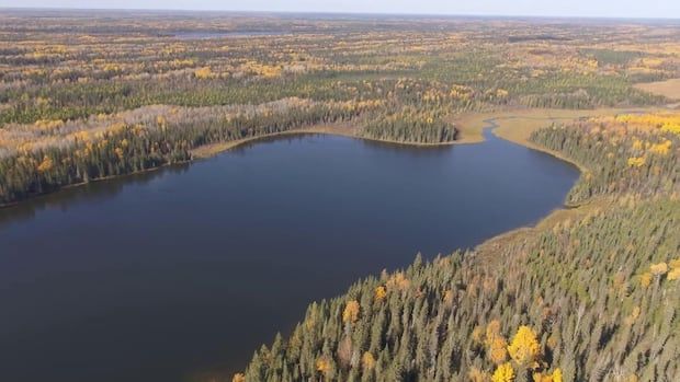
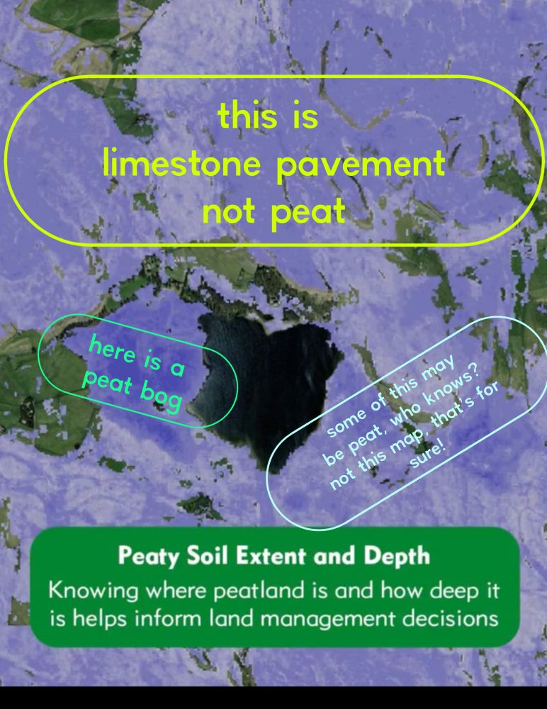
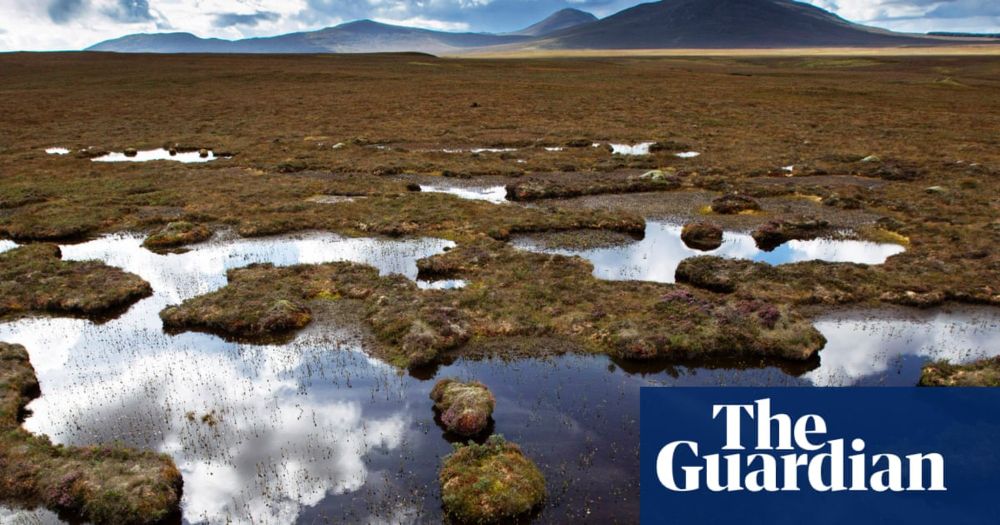
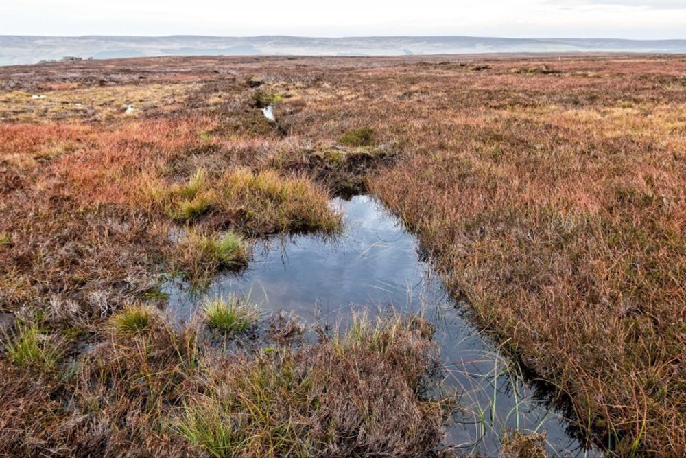
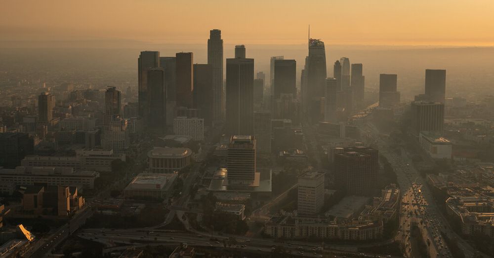
Carbon emissions from Canada's wildfires are spiking. But that's not counting our vast peatlands | CBC News
A new government model to estimate peatland emissions and their impact on climate change could provide a new perspective on the problem — and spark new discussions about solutions.
www.cbc.ca
Reposted by Luke Richardson-Foulger

Reposted by Luke Richardson-Foulger


Reposted by Luke Richardson-Foulger

Reposted by Luke Richardson-Foulger

Reposted by Luke Richardson-Foulger

Reposted by Luke Richardson-Foulger

Reposted by Luke Richardson-Foulger