Phoebe Ly
banner
pheebely.bsky.social
Phoebe Ly
@pheebely.bsky.social
Into maps, photography, and design.👋 I’m a cartographer & designer who loves making maps and interactive viz.

Maps and stuff: phoebelty.com
2nd #map for my #PastelMapSeries is #Putrajaya, the 3rd federal territory of #Malaysia. The last time I visited this city was last year, I was quite in awe of it's beauty and how much potential MY has in urban planning (unlike KL lol). I'm glad to be back for a bit tho! :)
January 25, 2025 at 6:10 PM
Made more updates to the style today. 💕 #mapbox #cartography
January 15, 2025 at 4:42 PM
Look it's pink snow! I could spend all day playing with #Mapbox 🩷 #nyc
January 14, 2025 at 9:57 PM
Had an cute idea today and did it: Valentine's Day themed basemap 🥰 #mapbox #cartography #maps #NYC #ValentinesDay
January 14, 2025 at 6:56 PM
Another recent example. Left: in qGIS layout view; Right: PDF export viewed in Adobe Acrobat. I tried reducing DPI and exporting as TIF/PNG/PDF, changing project properties color mode to CMYK and still not resolved. #gischat
January 7, 2025 at 2:22 PM
Why does #qGIS always reduce the saturation for my exports??? Is there a setting I'm missing? Left: Before export, Right: After export. It's worse with raster data... #gischat #help
January 6, 2025 at 11:08 PM
I wanted to experiment making a series of maps with pastel colors. I lived in ATX for 9 yrs and spending time in Lake Travis was always a blast! The first map is a map of Lake Travis in Austin, TX. I spent quite some time playing with the hypsometric tint and creating the shaded relief. #maps
December 29, 2024 at 11:44 PM
I know Christmas is over (😔), but I'm still obsessed with this #mapbox style I recently updated that's green/pink +vintage themed.
December 26, 2024 at 10:41 PM
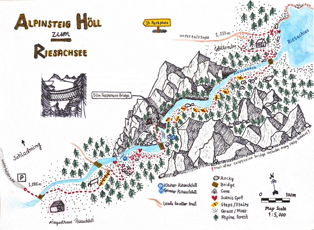
I miss making hand drawn maps. I’m itching to create something again for fun. 🤔 Maybe something Christmas-y?
December 22, 2024 at 5:30 PM
Lava was going a bit crazy in the first one. Here’s a more toned-down version w/ lava bombs and cool smoke. 💨
November 26, 2024 at 12:28 AM
Day 25: Heat. 🌋 I recently visited my first #volcano, Mt. Etna. Although I didn't see the main active crater, the geologist in me was nerding out! Is this a map? Idk but it was made with Copernicus DEM and ESRI imagery using qGIS, #Blender, Illustrator. #30daymapchallenge #3d
November 25, 2024 at 11:14 PM
Elevation of the Moon with only circular shapes, even the typography :) Day 24 of #30daymapchallenge. #moon #cartography #maps.
November 24, 2024 at 10:49 PM
Hello Bluesky! 👋 Check out my latest map made out of curiosity as I tried out this open repository (github.com/eleanorlutz/mo…). I experimented with new tools, like gdal and other Python packages. Not really participating in th#30DayMapChallengege, but this fits the Day 13 theme#cartographyh#moonon
November 18, 2024 at 10:17 AM