
Rich Briggs
@rangefront.bsky.social
1.5K followers
69 following
30 posts
just over here crashing my bike. Oh and random earthquake stuff.
Crap forgot to add my ridiculous opinions are sadly my own, unless you got in my head somehow. Nice work, you!
Posts
Media
Videos
Starter Packs
Reposted by Rich Briggs


Reposted by Rich Briggs


Reposted by Rich Briggs


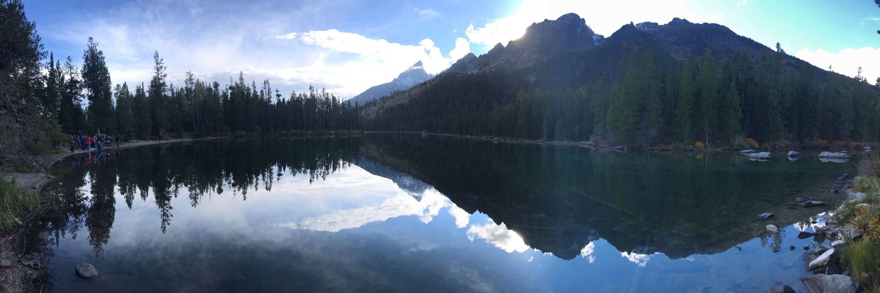
Rich Briggs
@rangefront.bsky.social
· Mar 30
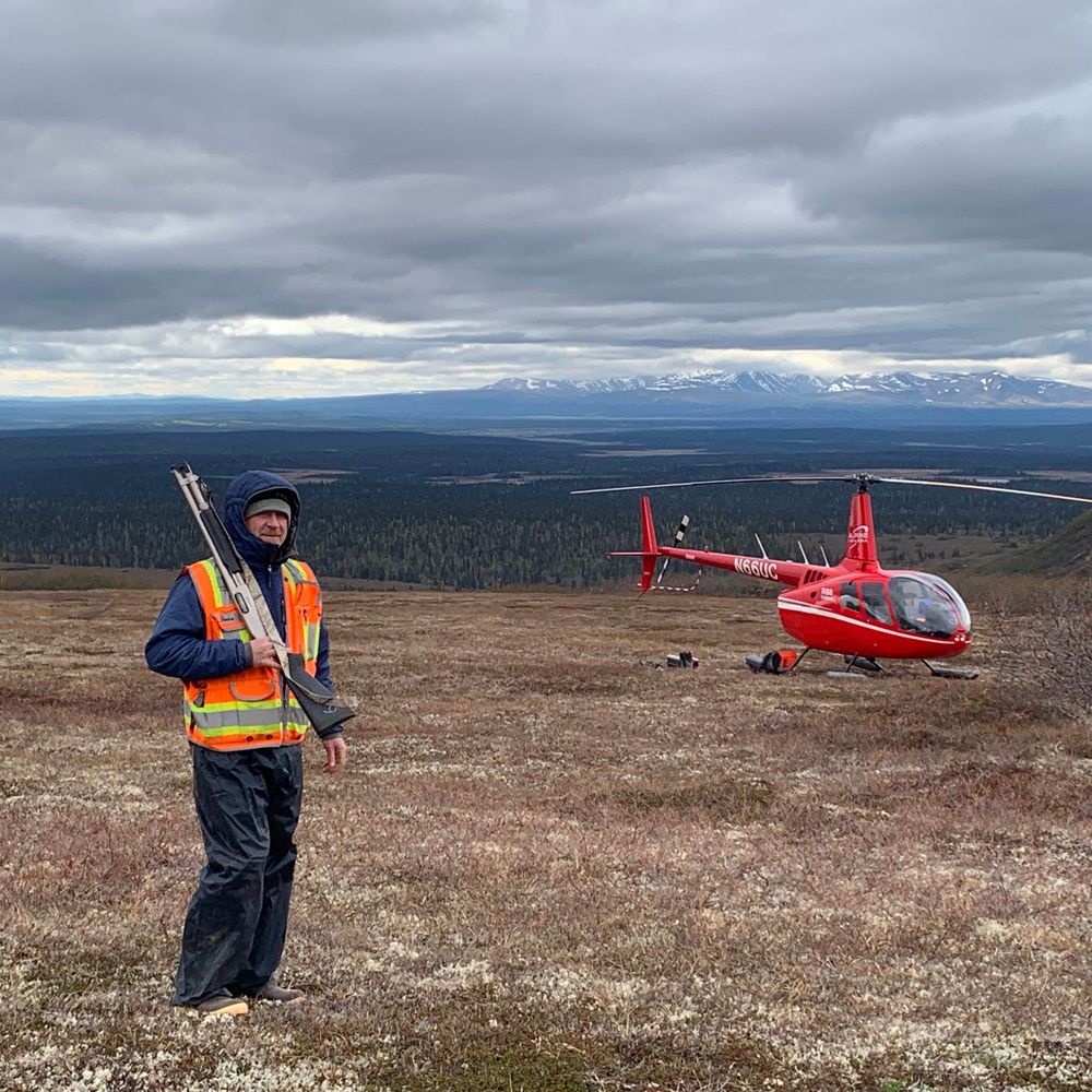
Rich Briggs
@rangefront.bsky.social
· Dec 18
Reposted by Rich Briggs
Reposted by Rich Briggs

Reposted by Rich Briggs


Reposted by Rich Briggs


Reposted by Rich Briggs


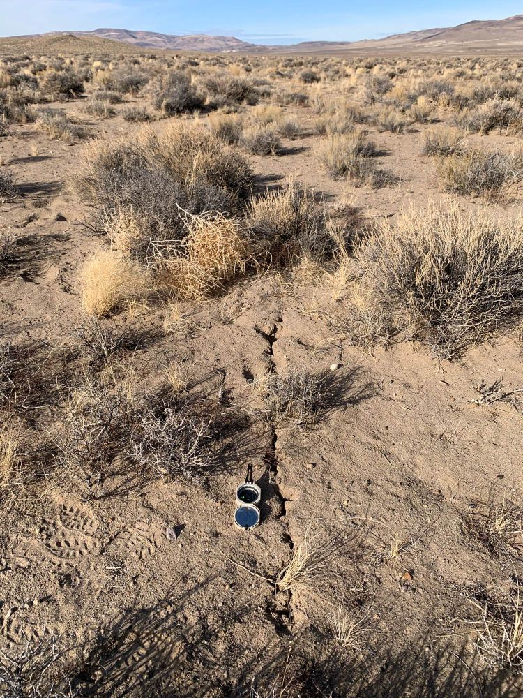
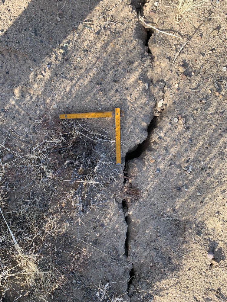
Rich Briggs
@rangefront.bsky.social
· Dec 11
Reposted by Rich Briggs

Christie Rowe
@keepitrheol.bsky.social
· Dec 11

Reposted by Rich Briggs


Rich Briggs
@rangefront.bsky.social
· Dec 10


Reposted by Rich Briggs

