ScotWays
@scotways.com
760 followers 190 following 220 posts
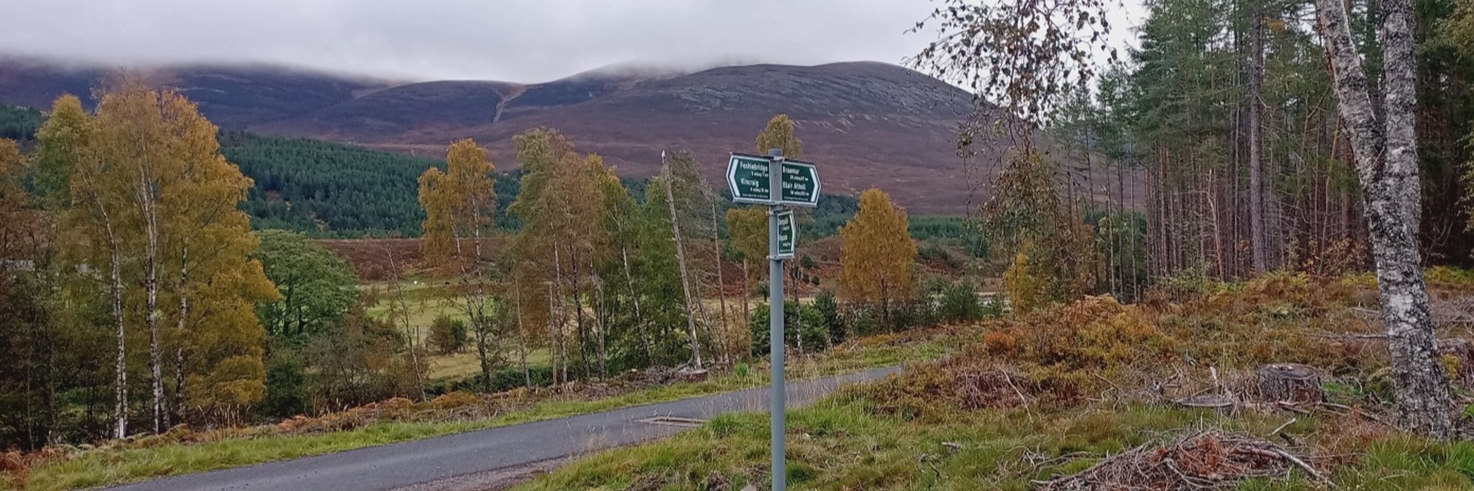
The UK's oldest outdoor access group, we work to protect and develop access to the Scottish countryside for all. We are the authors of #ScottishHillTracks and home to the #HeritagePaths Project. For more about us, check out our https://linktr.ee/scotways !
Posts Media Videos Starter Packs
Pinned
scotways.com
Hello Bluesky! ScotWays is a charity that upholds and defends public rights of access in Scotland.

🚶‍♂️🏃‍♀️🚲👩‍🦽🐴🐶 For all responsible public access
🗺️📜 Scotland's experts on rights of way
🟩➡️ Maintaining >3,500 signposts
🧑‍🤝‍🧑💷 You can join or donate to help fund our work
📖⛰️ New edition of 'Scottish Hill Tracks'
ScotWays | Upholding Public Access in Scotland
scotways.com
scotways.com
She heard about Historic Environment Scotland's plans to reopen part of this iconic route in 2026, as well as its ongoing work to mitigate rockfall hazards.
scotways.com
Last week, our Senior Access Officer Eleisha visited the Radical Road in Edinburgh’s Holyrood Park, which has now been closed to public access for seven years.
A person wearing a hard hat standing beside a tall green fence at the base of some tall, steep red cliffs.
scotways.com
#FingerpostFriday at the Kingshouse in #Glencoe, pointing across the Moor of Rannoch #Scotland
A green sign on a black pole. White lettering reads "Public path to Rannoch by Loch Laidon 12 miles / 19 km". In the background is boggy peatland, rising to low rocky hills under a blue sky.
Reposted by ScotWays
silverlawn.bsky.social
Is this allowed or is it too much a normal signpost for #fingerpostfriday? On the Isle of Bute.
scotways.com
These two are 74 and 65 years old, and they're both in line for a repaint! #FingerpostFriday
scotways.com
👀 Can you guess the loch?

💡Here’s a clue: A historical battle took place on the shores of this loch, and it's near to a #ScottishHillTrack route.

Drop your guess in the comments 👇

📷Arthur Shepard
scotways.com
📷John Hope (old photo)

📷Neil Birch (new photo)
scotways.com
#FingerpostFriday ScotWays has been signposting paths in Scotland for 140 years. Our third batch of signs was installed in autumn 1885 across the Pentland Hills, including here at Westside, and restored earlier this year.

Help us maintain our old and new signs! scotways.com/repair-a-sign/
scotways.com
ScotWays is proud to be part of the Scottish Outdoor Recreation Alliance (SORA)

SORA’s new 2026–31 manifesto calls for a £50m “Paths into Nature” fund to improve the quality, accessibility, and visibility of Scotland’s paths.

Read the full manifesto (link in our bio)
scotways.com
This week, we’re showcasing #ScottishHillTrack route 80 from Barr to Carsphairn in South Ayrshire. The Ruins of Woodhead village, pictured here, is a reminder of the once-thriving lead mining industry in the area.

📷©Nick Addington
scotways.com
#FingerpostFriday ScotWays has been signposting paths in Scotland for 140 years. Our third batch of signs was installed in autumn 1885 across the Pentland Hills, including here at Glencorse Reservoir. This isn’t the original, most of the old signs were replaced with these signs in the 1990s.
A scotways sign in Flotterstone pointing three different directions.
scotways.com
#ThrowbackThursday #FromTheArchives

Here is what one of our old ‘Route Information Sheets’ looked like, with this example of a route in the Scottish Borders. Do you recognise this path?
 Digital document with written information about Right of Way BE109 in the Scottish Borders.
Reposted by ScotWays
sarahdalgulls.bsky.social
A very wet but enjoyable walk up the Lairig Leachach on Monday, from Spean Bridge to Loch Treig @scotways.com #scotland #hiking
A wet gravel track curves ahead through boggy ground. Hills rise up either side and mountains on the horizon can be seen faintly through the rain and low cloud A small stone building, the Lairig Leachach bothy, sits on the far side of a wide but shallow rocky burn. Behind it a hill brown with heather and grass rises into the low cloud Muddy quad bike tracks show the route across a soaking bog. A river winds us way down the broad valley, with the ground sloping up and hills beyond The path leads across wet grassy ground that slopes down steeply on the right to a small wooded area, out of which a river flows distantly towards a far-off white building next to a copse. Hills are behind and on the horizon. It is raining
scotways.com
Some views along #ScottishHillTrack route 338 in #Assynt, Sutherland

🎥Rachel Taylor
scotways.com
Correction - 140 years! 😳
scotways.com
Our original sign here is long gone, but this is an original from the east side of the route, restored in 2013 and positioned here by Friends of the Pentlands volunteers.

📸Richard Barron
scotways.com
#FingerpostFriday

ScotWays has been signposting paths in Scotland for 180 years. Our third batch of signs was installed in autumn 1885 across the Pentland Hills, including here at the summit of the Cauldstane Slap, a key point on the old drove road South from the Falkirk Tryst.
A man sat next to a ScotWays sign eating a sandwich.
scotways.com
While Highland cows may appear cute and cuddly its recommended to always keep a sensible distance when passing by. This should also be the case for all other grazing animals, particularly, when calves and or lambs are present, or if you have a dog with you.
A Highland cow on the Isle of Skye.
scotways.com
This week’s #FingerpostFriday comes from a signpost that is need of some care in Fetteresso Forest, Aberdeenshire. 🌲💚

scotways.com/product/repa...

📷Alistair Beveridge
scotways.com
See below for an update for the The Mearns Coastal Heritage Trail (MERCHAT) which covers the St Cyrus to Johnshaven coast.

mcusercontent.com/5169d2d90994...
mcusercontent.com
scotways.com
The Campsies are a beautiful area of countryside on the doorstep of many of Scotland’s towns and cities.

Order our free leaflet with a map here:

scotways.com/product/heri...

📷 © Robert Murray via Geograph (cc-by-sa/2.0
scotways.com
This small hand-drawn map featured on the backs of one our membership cards back in 1982.

Have you been anywhere featured in the map recently?

Let us know in the comments. 👇
 A small hand-drawn map showing a route from Garve to Dingwall by Strathpeffer.
scotways.com
An often-overlooked area of Scotland, the Central and South-West Borders boasts several great routes included in #ScottishHillTracks.

This week we’re highlighting SHT route 30, Tibbie Shiels Inn (St Mary’s Loch) to Etrick Valley.
A paved track. Trees mostly shade the track and there is a stone cross in the distance.