Geography and Environmental Sciences, Ulster University
@ulsteruniges.bsky.social
230 followers 170 following 45 posts
We are the School of Geography and Environmental Sciences at Ulster University. Teaching environmental science and related subjects since 1968.
Posts Media Videos Starter Packs
ulsteruniges.bsky.social
Our new BSc Marine Science students are straight out into the field - investigating the geology, biodiversity, and oceanography of the Causeway Coast in their first week flic.kr/s/aHBqjCvb6T #flickr
2025 Year 1 Marine Science
Explore this photo album by School of Geography and Environmental Sciences on Flickr!
flic.kr
Reposted by Geography and Environmental Sciences, Ulster University
nmireland.bsky.social
What risks lie in our geological collections?

Aodhán Ó Gogáin reveals hidden hazards—from environmental threats to handling issues—that could jeopardize these irreplaceable specimens.

🔗 www.museum.ie/en-IE/Collec...

#MuseumBlog #NMIBlog #RegistrationCorner #GeologyRocks #NaturalHistory
A collection of minerals from left to right: labradorite, calcite, chalcedony, chalcopyrite, tourmaline, lepidolite and quartz geode. Research image by Aodhán Ó Gogáin © National Museum of Ireland
Reposted by Geography and Environmental Sciences, Ulster University
jonnyhhanson.bsky.social
Join @ark-ni.bsky.social on 27/5 for the launch of the 2024 NI Life & Times survey results, with a special focus on #climatechange

With me, @katyhayward.bsky.social @climateni.bsky.social & Rural Community Network

Register www.tinyurl.com/nilt24

@climatecocentre.bsky.social @aicbrn.bsky.social
Reposted by Geography and Environmental Sciences, Ulster University
maryrosemuseum.bsky.social
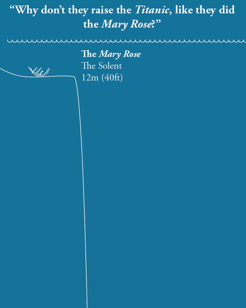
On the anniversary of the sinking of the Titanic, we thought we'd answer a question that's often asked,

"If they raised the Mary Rose, why not raise the Titanic?"

Allow our scaled diagram to explain...
A light blue diagram depicting the sea, with the water's surface at the top, and just below it is an outline of the Mary Rose, with the depth (12m, 40ft or 6.7 fathoms). There is a line showing the seabed, which takes a rapid dive into the vertical...