Haley Thiem
@haleythiemwx.bsky.social
290 followers 160 following 69 posts
Portfolio: haleythiem.myportfolio.com Meteorologist with expertise in science writing, weather and climate communication, and digital content creation and management University of Oklahoma alumni (opinions are my own)
Posts Media Videos Starter Packs
Pinned
haleythiemwx.bsky.social
I have been working on a pretty cool (at least I think so) personal project this week...
Check out my portfolio website! haleythiem.myportfolio.com
haleythiemwx.bsky.social
I’ll check the weather machine and see if we can add some more flurries 😆
haleythiemwx.bsky.social
Really great article by a great former colleague @tdiliberto.bsky.social on what a weak La Niña could mean as far as snowfall goes this year, and the long term winter snowfall trend across the U.S.: www.climate.gov/news-feature...
haleythiemwx.bsky.social
Tropical Storm Priscilla will bring significant heavy rainfall to the Southwest over the next few days.

Remember it doesn’t take much water to sweep a human or even a car away. Be smart and avoid the danger that flash flooding can bring.
Reposted by Haley Thiem
nws.noaa.gov
While La Niña is currently expected to remain weak, it could still influence the 2025-26 winter season. See what a typical winter La Niña pattern looks like across the U.S.

For more information visit cpc.ncep.noaa.gov.
(3/3)
A graphic with text overlaid on the U.S. La Niña winter impact map. The text reads: "A weak La Niña is less likely to result in typical La Niña winter impacts. However, it could still influence the 2025-26 winter season." A map of North America showing the typical weather patterns during a La Niña winter. A blue arrow shows the polar jet stream dipping southward over the northwestern U.S., bringing colder and wetter conditions to the Pacific Northwest and northern U.S. A "blocking high pressure" system is shown off the West Coast. The southern U.S. is shown with warmer and drier conditions.
Reposted by Haley Thiem
nws.noaa.gov
La Niña conditions are expected to continue through the December 2025 to February 2026 timeframe. A transition to ENSO-neutral conditions, meaning neither El Niño nor La Niña conditions, is most likely in the January 2026 to March 2026 timeframe.
(2/3)
A bar chart titled "ENSO Probabilities, Issued October 2025." It shows the percent chance of La Niña (blue), Neutral (gray), and El Niño (red) conditions for different three-month seasons from September 2025 to July 2026. The chart indicates a high probability of La Niña in the fall, decreasing over time, while the probability of neutral conditions increases  beginning in January 2026.
Reposted by Haley Thiem
nws.noaa.gov
A La Niña Advisory has been issued, meaning that La Niña conditions have been observed in the tropical Pacific Ocean.
(1/3)
A graphic announcing the issuance of a La Niña Advisory on October 9, 2025. The text reads: "La Niña conditions have been observed in the tropical Pacific Ocean and are expected to continue through the December 2025 to February 2026 timeframe." A graphic showing a map of the Pacific Ocean with sea surface temperatures. A rectangular box labeled "key monitoring region" highlights a band of cooler-than-average water along the equator, indicating La Niña conditions.
Reposted by Haley Thiem
nws.noaa.gov
We continue to monitor Hurricane Humberto and AL94 in the Atlantic.

Make sure to check hurricanes.gov for the latest forecast.
haleythiemwx.bsky.social
Exciting!
climate.us
Good question. This will be a full HTML version, as it was before it was taken offline.
haleythiemwx.bsky.social
Wow 😮
I wonder if they mean a full working website as it was versus just a PDF. That would be really great, it was an amazing resource.
Especially the Art x Climate section which I used to highlight on C(.)gov socials every Friday for a time.
climate.us
Exciting news update!

We’ve begun the process of cloning and migrating the NCA5 website to a new home & hope to make it public-facing in the next few weeks.

Your continued support sharing our campaign and donating will allow us to invest in the tools needed to secure these resources long term.
haleythiemwx.bsky.social
nws.noaa.gov
Life may be chaotic, but it’s important to take a moment when the weather is calm to make or check your emergency supply kit.

Make sure your food and water are fresh and all your supplies are working. If you stay ready, you don’t have to get ready.

#NationalPreparednessMonth
weather.gov/safety
Reposted by Haley Thiem
nws.noaa.gov
Most of the U.S. is getting a nice break this Labor Day weekend from the summer heat, but there are some exceptions – mainly in the west. Check out what's in store for you this weekend at weather.gov.
haleythiemwx.bsky.social
I wonder if it’s something females grapple with more than our male counterparts?
haleythiemwx.bsky.social
My former colleagues are the real MVPs, I’m so happy for them ❤️
climate.us
Curious what we are all about?
Click the link: www.cnn.com/2025/08/28/c...
CNN news story, Climate.gov will re-launch under new URL thanks to a secret team of web ninjas
Reposted by Haley Thiem
ametsoc.org
New AMS statement outlines five foundational flaws that make the Department of Energy's Climate Synthesis Report "inconsistent with scientific principles and practices."

Read the full statement: https://bit.ly/3UQRC82
The Practice and Assessment of Science: Five Foundational Flaws in the Department of Energy's 2025 Climate Report
Adopted by the Executive Committee of the AMS Council on 27 August 2025
bit.ly
Reposted by Haley Thiem
sonofjud.bsky.social
It was truly an honor to interview two Hurricane Directors two decades after Hurricane #Katrina. One was at the helm during the storm, while the other leads today.

The most profound lesson that emerged from our conversation?

The critical importance of communication.
3 Ways Hurricane Forecasts Have Changed Since Katrina
Modern technology has given meteorologists more detail than they’ve ever had on how storms behave. Here’s what they’re doing with it.
nyti.ms
haleythiemwx.bsky.social
I am happy to be supporting the NWS in my new role with new content like this!
nws.noaa.gov
Areas of heavy rain are possible from the southern Plains to the Gulf over the next few days as we work through the holiday weekend. Check your latest, local forecast at weather.gov before heading out.
haleythiemwx.bsky.social
As someone who used to make 3D for tv, 100% agree lol
haleythiemwx.bsky.social
While I agree it is cool and different, to a lay person it could suggest rainfall as high as building, no?
Reposted by Haley Thiem
copernicusecmwf.bsky.social
Ever wondered how heat stress is changing where you live? With the new Thermal Trace app from #CopernicusClimate and #ECMWF, you can explore “feels-like” temperatures, track heat stress categories and thresholds, and visualise interactive charts for your city.
haleythiemwx.bsky.social
Hmm… I’m certainly intrigued 🧐
My sources say this is legit.
climate.us
Welcome to our page! We are glad you are here.

Stay tuned for more exciting news to come.

In the meantime, check out our bio and follow us here and on our other social channels:
climate.us
Something exciting is coming soon, stay tuned flyer
Reposted by Haley Thiem
nytimes.com
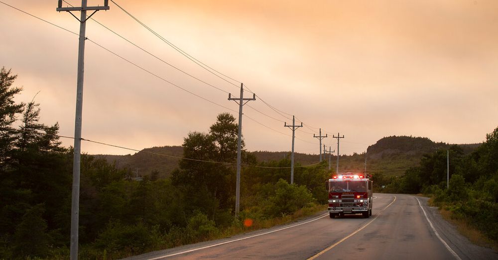
Thousands of people in Eastern Canada are under evacuation orders and thousands more have been warned to be on high alert as quick-moving wildfires burn out of control during what has become Canada’s second-worst wildfire season on record.
Canada Has Its Second-Worst Wildfire Season on Record
Thousands have been evacuated as quick moving wildfires burn in Eastern Canada.
nyti.ms
haleythiemwx.bsky.social
The experts have been busy monitoring these events and adapting to prevent even worse flooding and devastation through Juneau during these now seemingly yearly events.
haleythiemwx.bsky.social
The barriers mentioned here are what adapting to our changing climate looks like in real time!

For the third August in a row record Mendenhall Lake has exceeded its record gauge height following a glacial outburst flood.
corinne-smith.bsky.social
Juneau officials say there were no reported rescues or injuries, and damage to homes is still being assessed.

The Hesco barriers were largely successful and did their job, though there were a few reported hits by trees. Damage also reported to the Back Loop Bridge which is still closed.