Jason Nicholls
@jnmet.bsky.social
200 followers 74 following 1.1K posts
Lead International Forecaster/Senior Meteorologist/International forecasting manager @AccuWeather. Long range/global forecaster. NVU-Lyndon grad; proud dad
Posts Media Videos Starter Packs
Stormy pattern across #Ireland, the #UK and northern #Europe this week, a change from the quiet pattern last week.
Moderate Tropical Storm #Chenge is located west-southwest of #DiegoGarcia and is moving westward. The storm could bring rain and wind to northern #Madagascar later Friday and Saturday, and
The well-marked low in the Arabian Sea can become a depression in the next 24 hours then will slowly meander the next few days. A low will form in the southern Bay of Bengal early next week & can strengthen some before impacting eastern #India late next week.
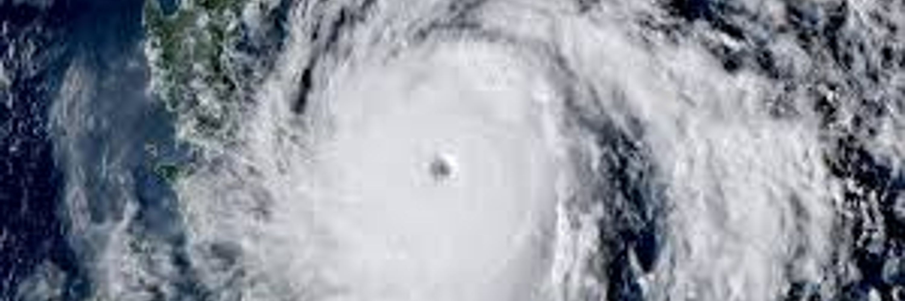
Tropical Storm #Fengshen/#RamilPH is pushing into the South China Sea and will make another landfall in #Vietnam Wednesday night or Thursday.
Well-marked low near #Lakshadweep will strengthen to a depression in the next day or two. The low can bring rain to #Socotra & #Somalia late next week. A low will form in the S BOB early next week & can strengthen to a depression before reaching N #TamilNadu or #AndhraPradesh later next week.
Tropical Storm #Fengshen/#RamilPH has formed in the Philippine Sea & will cross the northern #Philippines Sunday. The storm may eventually threaten #Vietnam later next week. Fengshen/Ramil will likely hinder #Ragasa & #Matmo clean up efforts.
A new tropical depression has formed in the Philippine Sea & will become Tropical Storm #Fengshen/#RamilPH before striking #Luzon, #Philippines on Saturday, local time.
Areas of heavy rain & thunderstorms in #Brazil from Rio Grande do Sul, #SantaCatarina, #Parana & S Mato Grosso do Sul Thurs into Sat, then #SaoPaulo & N MGDS Sat. Lighter rains possible in #MinasGerias, #Goias & Mato Grosso this weekend. Some soybean planting delays are possible.
Windier and wetter pattern is likely across #Ireland, the #UK & northern #Europe next week with the potential for a windstorm around the UK & Ireland later next week.
A tropical low will form near #DiegoGarcia over the next couple of days, then strengthens to a depression or storm west-southwest of Diego Garcia this weekend. This feature can threaten northern #Madagascar late next week. Watch for additional development N to NW of the Cocos Islands next week.
The NE monsoon has commenced in southern #India. A low will form near #Lakshadweep this weekend, then can strengthen as it tracks toward #Somalia & #Socotra next week. Another low likely forms in the S BOB later next week.
A tropical low over the Philippine Sea will strengthen to Tropical Storm #Fengshen (#RamilPH) by the time it passes near the northern #Philippines this weekend. The storm can eventually threaten southern #China & #Vietnam later next week.
Significant pattern change across #Europe next week as windier and wetter pattern returns to the #UK, #Ireland and northern Europe as blocking finally breaks down this weekend.
Latest weekly IOD index was -1.39°C. -IOD will continue through boreal autumn then becomes neutral in early boreal winter. Brief #LaNina conditions possible Nov-Jan then neutral ENSO in early 2026. Potential for #ElNino conditions late next year.
Risk of tropical development near or SW of #DiegoGarcia this weekend then can track toward #Madagascar next week. Also watching for tropical development N or NW of the Cocos Islands next week.
SW monsoon withdrawal will clear the rest of #India & the NE monsoon will commence in S India in the next 24 hours. A low develops near #Lakshadweep this weekend then can impact #Somalia & #Yemen later next week. Also watch for low pressure to form in the BOB next week.
The tropical low west-southwest of #Guam will strengthen to Tropical Storm #Fengshen/#RamilPH before impacting the northern #Philippines & southern #Taiwan this weekend. The storm can eventually threaten southern #China later next week.
The blocking pattern that developed over #Europe last week will hold through Friday, then finally breaks down this weekend. The breakdown of the block will result in a wetter and windier pattern across the #UK, #Ireland & much of northern Europe next week.
A pair of systems will bring rounds of rain, some heavy, to the Brazilian states of RGS, #SantaCatarina, #Parana, #SaoPaulo & Mato Grosso do Sul Thurs-Sat. Some rain in #MatoGrosso, #Goias & #MinasGerais this weekend. Minor soybean planting delays possible but overall beneficial for the crop.
A tropical low passing south-southwest of #Guam will strengthen into TS #Fengshen (#RamilPH) late this week & can impact the northern #Philippines & southern #Taiwan this weekend or early next week. The storm can eventually affect southern #China later next week.
The SW monsoon withdrawal has advanced through all of NE #India & more of #Odisha & the NE monsoon will commence in S India over the next couple of days. A low can form near #Lakshadweep this weekend which can eventually impact #Somalia & #Yemen later next week.
A shortwave will spread areas of heavy rain & strong thunderstorms from #Corsica, #Sardinia & southern #Italy to #Montenegro, #Albania, #NorthMacedonia & western #Greece over the next few days.
Watching for tropical development in the vicinity of #DiegoGarcia in the S IO & #Lakshadweep in the SE Arabian Sea late this week or weekend. Also monitoring an area north or northwest of the Cocos (Keeling) Islands next week. #Australia