


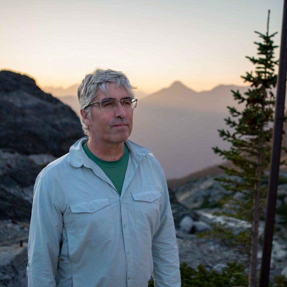
@bmenounos.bsky.social
Always nice to see leadership from those that have lived with glaciers much longer than we have and, sadly, will feel the effects greatest when they vanish.
www.ubcic.bc.ca/ubcic_recogn...
www.ubcic.bc.ca/ubcic_recogn...

UBCIC Recognizes 2025 as the International Year of Glaciers’ Preservation and Calls for Strengthened Action to Protect B.C.’s Rivers of Ice
Working towards the recognition, implementation and exercise of our inherent Indigenous Title, Rights and Treaty Rights
www.ubcic.bc.ca
November 12, 2025 at 5:25 PM
Always nice to see leadership from those that have lived with glaciers much longer than we have and, sadly, will feel the effects greatest when they vanish.
www.ubcic.bc.ca/ubcic_recogn...
www.ubcic.bc.ca/ubcic_recogn...
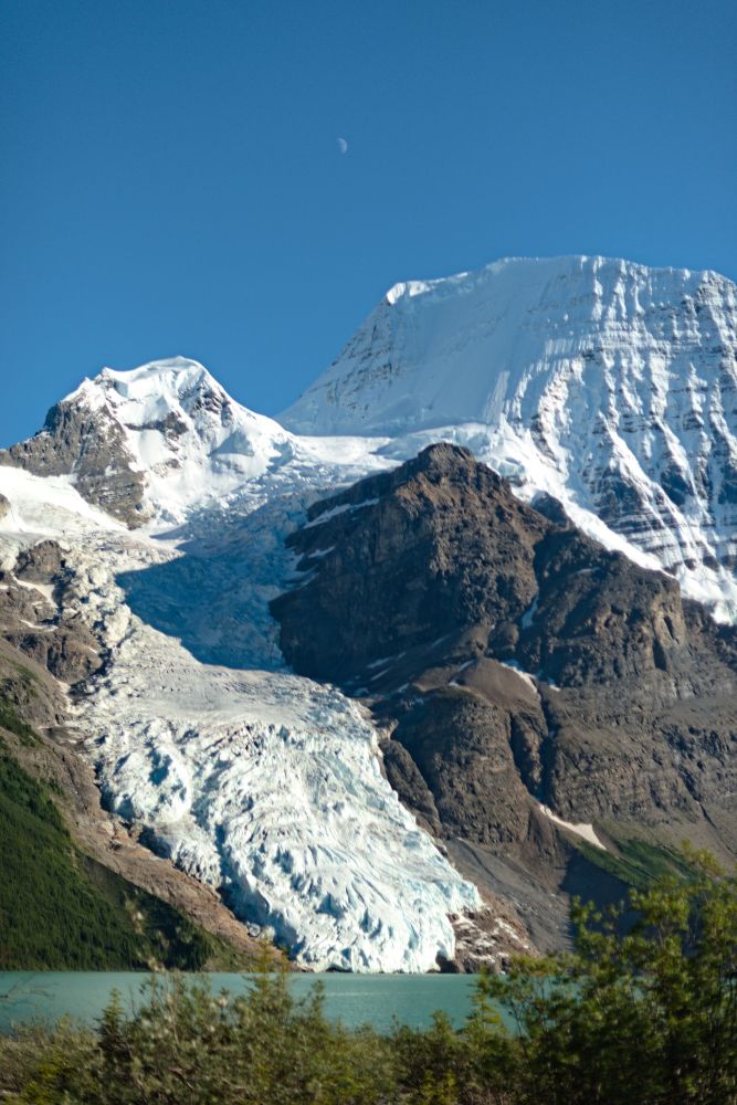
Looking forward to catching up with family and friends at Mount Robson tomorrow for their re-opening of the Mt. Robson trails which were destroyed during the 2021 Heat Dome. Here's of shot of Robson from summer 2020.
June 27, 2025 at 8:57 PM
Looking forward to catching up with family and friends at Mount Robson tomorrow for their re-opening of the Mt. Robson trails which were destroyed during the 2021 Heat Dome. Here's of shot of Robson from summer 2020.
A shout out to the @hakai.org ACO team for their work in helping us understand the magnitude of glacier mass loss in western Canada in a study published today.
agupubs.onlinelibrary.wiley.com/doi/10.1029/...
agupubs.onlinelibrary.wiley.com/doi/10.1029/...
June 25, 2025 at 9:03 PM
A shout out to the @hakai.org ACO team for their work in helping us understand the magnitude of glacier mass loss in western Canada in a study published today.
agupubs.onlinelibrary.wiley.com/doi/10.1029/...
agupubs.onlinelibrary.wiley.com/doi/10.1029/...
Reposted

After a year of collaboration, the Hakai Institute’s geospatial team, with NRCan and GeoBC have launched ELVIZ—a new tool to analyze LiDAR and other geospatial data. Track terrain shifts, overlay your own data, and see Earth's landscapes change. Explore at 🔗https://elviz.ca/

April 17, 2025 at 7:30 PM
After a year of collaboration, the Hakai Institute’s geospatial team, with NRCan and GeoBC have launched ELVIZ—a new tool to analyze LiDAR and other geospatial data. Track terrain shifts, overlay your own data, and see Earth's landscapes change. Explore at 🔗https://elviz.ca/
Reposted
We're hiring a Geospatial Developer for the Hakai Institute in Victoria, BC. Learn more:
ca.indeed.com/viewjob?jk=3...
ca.indeed.com/viewjob?jk=3...

April 22, 2025 at 10:56 PM
We're hiring a Geospatial Developer for the Hakai Institute in Victoria, BC. Learn more:
ca.indeed.com/viewjob?jk=3...
ca.indeed.com/viewjob?jk=3...
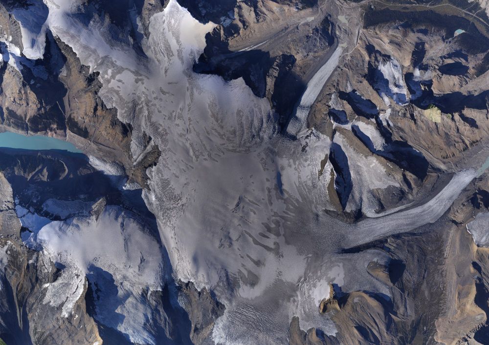
Hard to believe that it's 2025, our 11th year of airborne surveys. A shot from the @unbc.bsky.social @hakai.org Airborne Coastal Observatory acquiring lidar over Klinaklini Glacier. @nsidc.bsky.social

April 16, 2025 at 6:09 PM
Hard to believe that it's 2025, our 11th year of airborne surveys. A shot from the @unbc.bsky.social @hakai.org Airborne Coastal Observatory acquiring lidar over Klinaklini Glacier. @nsidc.bsky.social
This is my first post. And here's a shout out to @hakai.org displaying data from the @hakai.org @unbc.bsky.social Airborne Coastal Observatory - ACO. FOLKS, this is a cool tool!
elviz.ca
elviz.ca
ELVIZ
Making Big Geospatial Data Accessible
elviz.ca
April 11, 2025 at 10:32 PM
This is my first post. And here's a shout out to @hakai.org displaying data from the @hakai.org @unbc.bsky.social Airborne Coastal Observatory - ACO. FOLKS, this is a cool tool!
elviz.ca
elviz.ca