@cnrs.fr @univcotedazur.bsky.social @ird-fr.bsky.social @obscoteazur.bsky.social
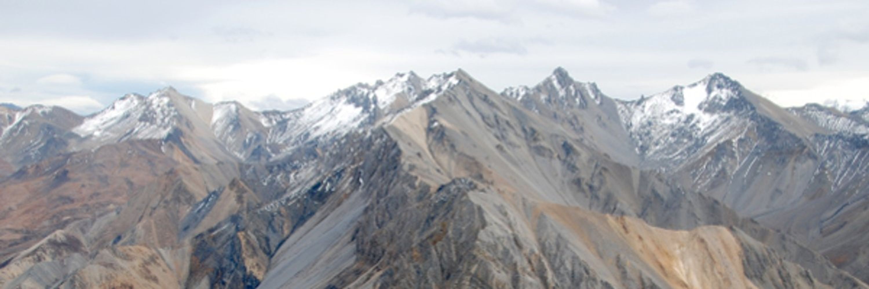
Des scientifiques démontre que le séisme du Teil, un des derniers séismes importants en France, a été en grande partie contrôlé par la nature des roches dans lesquelles il s’est produit. L’étude utilise des données d'Epos-France.
➡️ www.insu.cnrs.fr/fr/cnrsinfo/...

@cnrs.fr @univcotedazur.bsky.social @ird-fr.bsky.social @obscoteazur.bsky.social
Avec @osuoreme.bsky.social #hydrosciencesMontpellier #cefe #Lump 😍
📆 4 & 5 octobre
📌 @fac-education.bsky.social
🔗 + infos www.umontpellier.fr/articles/34e...

Avec @osuoreme.bsky.social #hydrosciencesMontpellier #cefe #Lump 😍
Super soirée en perspective, organisée par
#BioGée #SociétéGéologiqueDeFrance #GéosciencesMontpellier


Super soirée en perspective, organisée par
#BioGée #SociétéGéologiqueDeFrance #GéosciencesMontpellier
😏 only 18 days to wait before you can read the full text!
@cnrsoccitanieest @umontpellier.bsky.social
▶️ bit.ly/47KuGPw
😏 only 18 days to wait before you can read the full text!
@cnrsoccitanieest @umontpellier.bsky.social
▶️ bit.ly/47KuGPw
@cnrsoccitanieest @umontpellier
@isemevol.bsky.social
▶️ bit.ly/46fYHEt

@cnrsoccitanieest @umontpellier
@isemevol.bsky.social
▶️ bit.ly/46fYHEt
@cnrsoccitanieest @umontpellier @HydroSciencesMp @igmm-montpel.bsky.social
▶️ bit.ly/3JQw0q0

@cnrsoccitanieest @umontpellier @HydroSciencesMp @igmm-montpel.bsky.social
▶️ bit.ly/3JQw0q0

@cnrsoccitanieest @umontpellier @umr5608traces.bsky.social
▶️ dx.doi.org/10.1007/s125...

@cnrsoccitanieest @umontpellier @umr5608traces.bsky.social
▶️ dx.doi.org/10.1007/s125...
@cnrsoccitanieest @umontpellier
▶️ doi.org/10.1016/j.js...

@cnrsoccitanieest @umontpellier
▶️ doi.org/10.1016/j.js...

@cnrsoccitanieest @umontpellier
@egu.eu @UMNEarthScience
▶️ doi.org/10.1029/2024...

@cnrsoccitanieest @umontpellier
@egu.eu @UMNEarthScience
▶️ doi.org/10.1029/2024...
@cnrsoccitanieest @umontpellier @egu.eu
▶️ doi.org/10.1029/2024...

@cnrsoccitanieest @umontpellier @egu.eu
▶️ doi.org/10.1029/2024...
@cnrsoccitanieest @umontpellier
▶️ bit.ly/45f42MO

@cnrsoccitanieest @umontpellier
▶️ bit.ly/45f42MO
@cnrsoccitanieest @umontpellier
▶️ doi.org/10.1016/j.li...


@cnrsoccitanieest @umontpellier
▶️ doi.org/10.1016/j.li...
23 July at 16:00 CEST
👉Helle Astrid Kjaer (Univ. of Copenhagen) Sea ice and abrupt change- a land ice core perspective.
👉David Naafs (Univ. of Bristol) Novel biomarker-based insights into the operation of the terrestrial methane cycle across the Cenozoic.


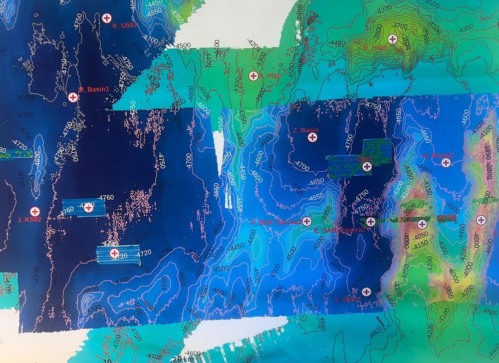
2) Barrel dumped at the seafloor at about 4700 m water depth and 3) a probable leak of unknown material - probably tar used to embed the waste in the barrels.


2) Barrel dumped at the seafloor at about 4700 m water depth and 3) a probable leak of unknown material - probably tar used to embed the waste in the barrels.
1) Swath of Ulyx sonar data (left) and close-up of the barrels at the seafloor, showing as bright spots (from box on the left), with the bright illuminated side by the sonar and the shadow away from the AUV.

1) Swath of Ulyx sonar data (left) and close-up of the barrels at the seafloor, showing as bright spots (from box on the left), with the bright illuminated side by the sonar and the shadow away from the AUV.


Extension de la date limite de l'appel à résumés jusqu'au 7 septembre !
Et pensez à vous inscrire aux excursions ! Elles sont conçues pour compléter les sessions. Le jour de l'excursion, aucune session sur le même thème n'est prévue, c'est chouette.
@cnrs-insu.bsky.social
Les inscriptions à la #RST2025Montpellier sont officiellement ouvertes !
Ne manquez pas l'opportunité unique de participer à ce grand rassemblement de la communauté des sciences de la Terre. #SGF

Extension de la date limite de l'appel à résumés jusqu'au 7 septembre !
Et pensez à vous inscrire aux excursions ! Elles sont conçues pour compléter les sessions. Le jour de l'excursion, aucune session sur le même thème n'est prévue, c'est chouette.
@cnrs-insu.bsky.social
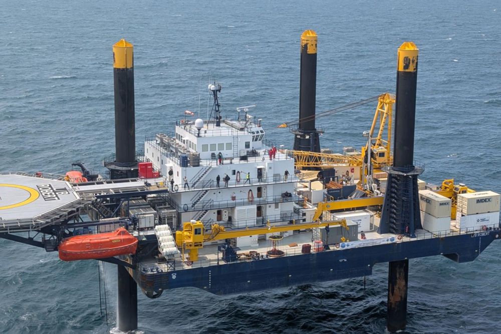
8 experts de @geomontp.bsky.social, sous la direction d'#Erwan-Le-Ber, gèrent la diagraphie de puits avec le QL40-BMR, un appareil innovant de résonance magnétique nucléaire qui mesure la porosité des formations in situ.
@CNRS-INSU @umontpellier @cnrsoccitanieest
www.lemonde.fr/sciences/art...

8 experts de @geomontp.bsky.social, sous la direction d'#Erwan-Le-Ber, gèrent la diagraphie de puits avec le QL40-BMR, un appareil innovant de résonance magnétique nucléaire qui mesure la porosité des formations in situ.
@CNRS-INSU @umontpellier @cnrsoccitanieest
23 July at 16:00 CEST
👉Helle Astrid Kjaer (Univ. of Copenhagen) Sea ice and abrupt change- a land ice core perspective.
👉David Naafs (Univ. of Bristol) Novel biomarker-based insights into the operation of the terrestrial methane cycle across the Cenozoic.

23 July at 16:00 CEST
👉Helle Astrid Kjaer (Univ. of Copenhagen) Sea ice and abrupt change- a land ice core perspective.
👉David Naafs (Univ. of Bristol) Novel biomarker-based insights into the operation of the terrestrial methane cycle across the Cenozoic.
On 20/06 at 1.30pm Triolet campus and online : Derya GÜRER (Institute of Earth Sciences @uniheidelberg.bsky.social) will present "Tracking subduction plate boundaries from sea to summit & grain to plate scale"
More ▶️ bit.ly/3ZvEMyH

On 20/06 at 1.30pm Triolet campus and online : Derya GÜRER (Institute of Earth Sciences @uniheidelberg.bsky.social) will present "Tracking subduction plate boundaries from sea to summit & grain to plate scale"
More ▶️ bit.ly/3ZvEMyH

