@jugkariche.bsky.social
10 followers
26 following
3 posts
Posts
Media
Videos
Starter Packs
Reposted


Reposted

Reposted

Reposted


Quake-prone buildings redefined – Expert Reaction
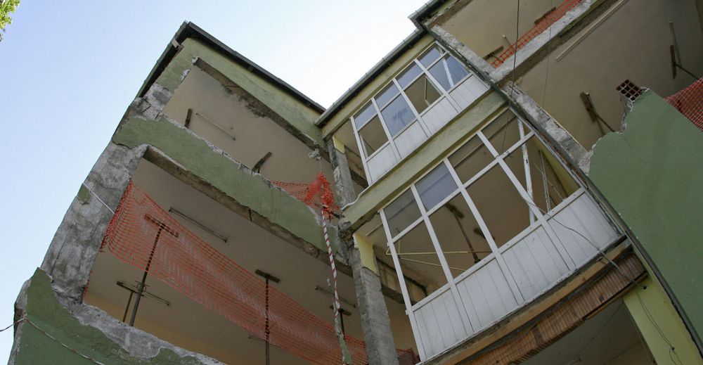
Quake-prone buildings redefined - Expert Reaction - Science Media Centre
Government changes to the earthquake-prone building system will remove nearly 3000 buildings from the classification. Following the Seismic Risk Management Review, Building and Construction Minister Chris...
www.sciencemediacentre.co.nz
Reposted


Reposted

Reposted


Reposted