Thinking geographically 🌐 GIS, trivia and other important things... #GeographyTeacher and author; RGS C Geog, BBC Weather Watcher; landscape art and photography; #EruditePedagogy; #EduSky; Music, poetry esp with links to place
@whitstablelive.bsky.social @stormhour.com
@metoffice.gov.uk
@thephotohour.bsky.social
@cloudappsoc.bsky.social
#StormHour #loveukweather

@whitstablelive.bsky.social @stormhour.com
@metoffice.gov.uk
@thephotohour.bsky.social
@cloudappsoc.bsky.social
#StormHour #loveukweather
...And arrived at evening, not a moment too soon
Finding the place; it was (you may say) satisfactory." T. S. Eliot
@cloudappsoc.bsky.social
@thephotohour.bsky.social
@thephotohour.bsky.social
@metoffice.gov.uk #StormHour #loveukweather #getoutside

...And arrived at evening, not a moment too soon
Finding the place; it was (you may say) satisfactory." T. S. Eliot
@cloudappsoc.bsky.social
@thephotohour.bsky.social
@thephotohour.bsky.social
@metoffice.gov.uk #StormHour #loveukweather #getoutside
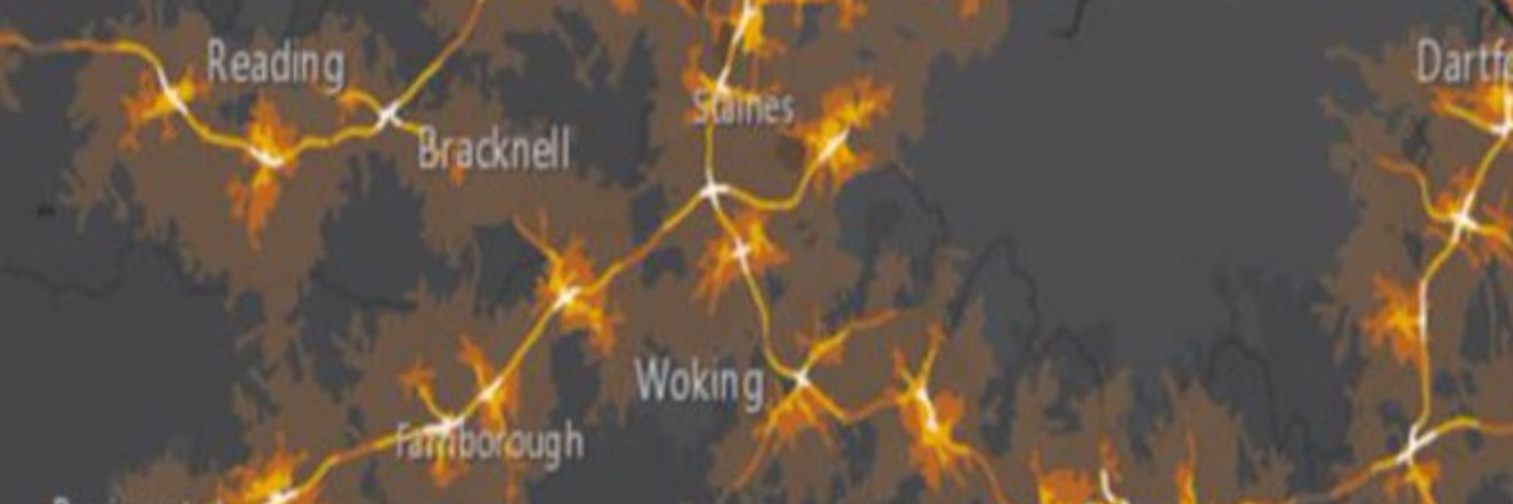
-5°C or lower #SurreyHills
@stormhour.com
@metoffice.gov.uk @thephotohour.bsky.social #getoutside

-5°C or lower #SurreyHills
@stormhour.com
@metoffice.gov.uk @thephotohour.bsky.social #getoutside
#WaningGibbous 98% 🌕 rising over south London in between the Crystal Palace and Croydon transmitters, seen from #SurreyHills
#WolfMoon #OldMoon #IceMoon #SnowMoon #Supermoon
@davidbflower.bsky.social
@stormhour.com
@metoffice.gov.uk @thephotohour.bsky.social #getoutside

#WaningGibbous 98% 🌕 rising over south London in between the Crystal Palace and Croydon transmitters, seen from #SurreyHills
#WolfMoon #OldMoon #IceMoon #SnowMoon #Supermoon
@davidbflower.bsky.social
@stormhour.com
@metoffice.gov.uk @thephotohour.bsky.social #getoutside
#WaningGibbous 98% 🌕 rising over south London in between the Crystal Palace and Croydon transmitters, seen from #SurreyHills
#WolfMoon #OldMoon #IceMoon #SnowMoon #Supermoon
@davidbflower.bsky.social
@stormhour.com
@metoffice.gov.uk @thephotohour.bsky.social #getoutside

#WaningGibbous 98% 🌕 rising over south London in between the Crystal Palace and Croydon transmitters, seen from #SurreyHills
#WolfMoon #OldMoon #IceMoon #SnowMoon #Supermoon
@davidbflower.bsky.social
@stormhour.com
@metoffice.gov.uk @thephotohour.bsky.social #getoutside
#Jupiter + #GalileanMoons
L>R #Callisto #Europa #Io #Ganymede over #SurreyHills
@surreyhillsnl.bsky.social @davidbflower.bsky.social @metoffice.gov.uk
@stormhour.com
@thephotohour.bsky.social

...And arrived at evening, not a moment too soon
Finding the place; it was (you may say) satisfactory." T. S. Eliot
@cloudappsoc.bsky.social
@thephotohour.bsky.social
@thephotohour.bsky.social
@metoffice.gov.uk #StormHour #loveukweather #getoutside

...And arrived at evening, not a moment too soon
Finding the place; it was (you may say) satisfactory." T. S. Eliot
@cloudappsoc.bsky.social
@thephotohour.bsky.social
@thephotohour.bsky.social
@metoffice.gov.uk #StormHour #loveukweather #getoutside
2nd January 1969: Day 1 of the Get Back/Let It Be sessions
Where are the places linked to The Beatles' classic song 'Get Back'? #GetBackTheBeatles #Psychogeography
Story Map created using
@esriuk.bsky.social #ArcGISStoryMaps
Link to story map: arcg.is/18WvnP1
2nd January 1969: Day 1 of the Get Back/Let It Be sessions
Where are the places linked to The Beatles' classic song 'Get Back'? #GetBackTheBeatles #Psychogeography
Story Map created using
@esriuk.bsky.social #ArcGISStoryMaps
Link to story map: arcg.is/18WvnP1
🙏@copernicuseu.bsky.social
Sentinel-2 imagery -Breiðamerkurjökull Georef with #MediaLayers in @esriuk.bsky.social #ArcGISOnline and imported to #3DScene
@copernicusecmwf.bsky.social
@subfossilguy.bsky.social @edhawkins.org
arcg.is/1PKif54
🙏@copernicuseu.bsky.social
Sentinel-2 imagery -Breiðamerkurjökull Georef with #MediaLayers in @esriuk.bsky.social #ArcGISOnline and imported to #3DScene
@copernicusecmwf.bsky.social
@subfossilguy.bsky.social @edhawkins.org
arcg.is/1PKif54
@davidbflower.bsky.social @cloudappsoc.bsky.social @stormhour.com
@thephotohour.bsky.social @metoffice.gov.uk #StormHour #getoutside #loveukweather
#Apollo8 Christmas Eve 1968 message, over SELENE (Kaguya) 'Earthrise' footage, similar to the view seen by Borman, Lovell + Anders
@davidbflower.bsky.social
@daveatcogs.bsky.social
Details + HQ video here: vimeo.com/187472403?re...
#Apollo8 Christmas Eve 1968 message, over SELENE (Kaguya) 'Earthrise' footage, similar to the view seen by Borman, Lovell + Anders
@davidbflower.bsky.social
@daveatcogs.bsky.social
Details + HQ video here: vimeo.com/187472403?re...
#WaxingCrescent 🌒 (20%) over N Kent @whitstablelive.bsky.social 🎅
@davidbflower.bsky.social @stormhour.com
@metoffice.gov.uk
@thephotohour.bsky.social
#StormHour #loveukweather

#WaxingCrescent 🌒 (20%) over N Kent @whitstablelive.bsky.social 🎅
@davidbflower.bsky.social @stormhour.com
@metoffice.gov.uk
@thephotohour.bsky.social
#StormHour #loveukweather
@cloudappsoc.bsky.social @stormhour.com
@thephotohour.bsky.social
@metoffice.gov.uk @derekbrockway.bsky.social @barrybados.bsky.social


@cloudappsoc.bsky.social @stormhour.com
@thephotohour.bsky.social
@metoffice.gov.uk @derekbrockway.bsky.social @barrybados.bsky.social
🌄 The earliest sunset of 2025 has been and gone #SurreyHills
The sun will set later every day now until around 25th June!
@cloudappsoc.bsky.social @stormhour.com
@thephotohour.bsky.social @metoffice.gov.uk #StormHour #loveukweather #getoutside

🌄 The earliest sunset of 2025 has been and gone #SurreyHills
The sun will set later every day now until around 25th June!
@cloudappsoc.bsky.social @stormhour.com
@thephotohour.bsky.social @metoffice.gov.uk #StormHour #loveukweather #getoutside
Possible Léonard Misonne influence?
🙏@FacesInTheLight #242
Restored+colourised using @GeminiApp
#Swipe @www_re_photos
@cloudappsoc.bsky.social @stormhour.com
@thephotohour.bsky.social @metoffice.gov.uk
Possible Léonard Misonne influence?
🙏@FacesInTheLight #242
Restored+colourised using @GeminiApp
#Swipe @www_re_photos
@cloudappsoc.bsky.social @stormhour.com
@thephotohour.bsky.social @metoffice.gov.uk
3 decades before the bridge!
Unmistakeable outline of Angel Island; Possibly Sausolito ferry; Helmet Rock + Lands End
@ggbridge.bsky.social @sfchronicle.com
AI Colourised w @GeminiApp Nano Banana
Original 🙏@FacesInTheLight #258
#Swipe @www_re_photos
3 decades before the bridge!
Unmistakeable outline of Angel Island; Possibly Sausolito ferry; Helmet Rock + Lands End
@ggbridge.bsky.social @sfchronicle.com
AI Colourised w @GeminiApp Nano Banana
Original 🙏@FacesInTheLight #258
#Swipe @www_re_photos
Saint-Valery-en-Caux c1900 Seine-Maritime, @Normandy, France #ChangingPlaces
AI Colourised w @GeminiApp Nano Banana
Original from @FacesInTheLight
#Swipe created in @www_re_photos #rephotography
Saint-Valery-en-Caux c1900 Seine-Maritime, @Normandy, France #ChangingPlaces
AI Colourised w @GeminiApp Nano Banana
Original from @FacesInTheLight
#Swipe created in @www_re_photos #rephotography
low tide
@whitstablelive.bsky.social @stormhour.com
@thephotohour.bsky.social @metoffice.gov.uk

low tide
@whitstablelive.bsky.social @stormhour.com
@thephotohour.bsky.social @metoffice.gov.uk
AI Colourised w @GeminiApp Nano Banana
Vg for car + street details, but hallucinates with perspective!
Original: Unknown Photgrapher@FacesInTheLight
AI Colourised w @GeminiApp Nano Banana
Vg for car + street details, but hallucinates with perspective!
Original: Unknown Photgrapher@FacesInTheLight
Y7 students used #GIS to map Christmas placenames
🙏 @natlibscot.bsky.social maps GB1900 Gazeteer > 'Christmas' > CSV > @esriuk.bsky.social #ArcGISOnline
2D incl @johnnelsonmaps.bsky.social #Firefly symbols+ pop-ups, then #3DScene > 3D trees stars+baubles #HowIUsedGISToday
Y7 students used #GIS to map Christmas placenames
🙏 @natlibscot.bsky.social maps GB1900 Gazeteer > 'Christmas' > CSV > @esriuk.bsky.social #ArcGISOnline
2D incl @johnnelsonmaps.bsky.social #Firefly symbols+ pop-ups, then #3DScene > 3D trees stars+baubles #HowIUsedGISToday
Y7 students used #GIS to map Christmas placenames
🙏 @natlibscot.bsky.social maps GB1900 Gazeteer > 'Christmas' > CSV > @esriuk.bsky.social #ArcGISOnline
2D incl @johnnelsonmaps.bsky.social #Firefly symbols+ pop-ups, then #3DScene > 3D trees stars+baubles #HowIUsedGISToday
Y7 students used #GIS to map Christmas placenames
🙏 @natlibscot.bsky.social maps GB1900 Gazeteer > 'Christmas' > CSV > @esriuk.bsky.social #ArcGISOnline
2D incl @johnnelsonmaps.bsky.social #Firefly symbols+ pop-ups, then #3DScene > 3D trees stars+baubles #HowIUsedGISToday
AI Colourised w @GeminiApp Nano Banana
Vg for car + street details, but hallucinates with perspective!
Original: Unknown Photgrapher@FacesInTheLight
AI Colourised w @GeminiApp Nano Banana
Vg for car + street details, but hallucinates with perspective!
Original: Unknown Photgrapher@FacesInTheLight
@davidbflower.bsky.social
@cloudappsoc.bsky.social
@stormhour.com
@thephotohour.bsky.social #StormHour #getoutside #loveukweather

@davidbflower.bsky.social
@cloudappsoc.bsky.social
@stormhour.com
@thephotohour.bsky.social #StormHour #getoutside #loveukweather
@Space_Station #ISS threading a west to east path between the #WaxingGibbous Moon 76% and #Saturn at 16.39 over the #SurreyHills #Timelapse
@davidbflower.bsky.social
@metoffice.gov.uk
@stormhour.com
@thephotohour.bsky.social #StormHour #loveukweather #getoutside
@Space_Station #ISS threading a west to east path between the #WaxingGibbous Moon 76% and #Saturn at 16.39 over the #SurreyHills #Timelapse
@davidbflower.bsky.social
@metoffice.gov.uk
@stormhour.com
@thephotohour.bsky.social #StormHour #loveukweather #getoutside

