Not NWS Tornadoes
banner
notnwstornado.bsky.social
Not NWS Tornadoes
@notnwstornado.bsky.social
170 followers 2 following 8.6K posts
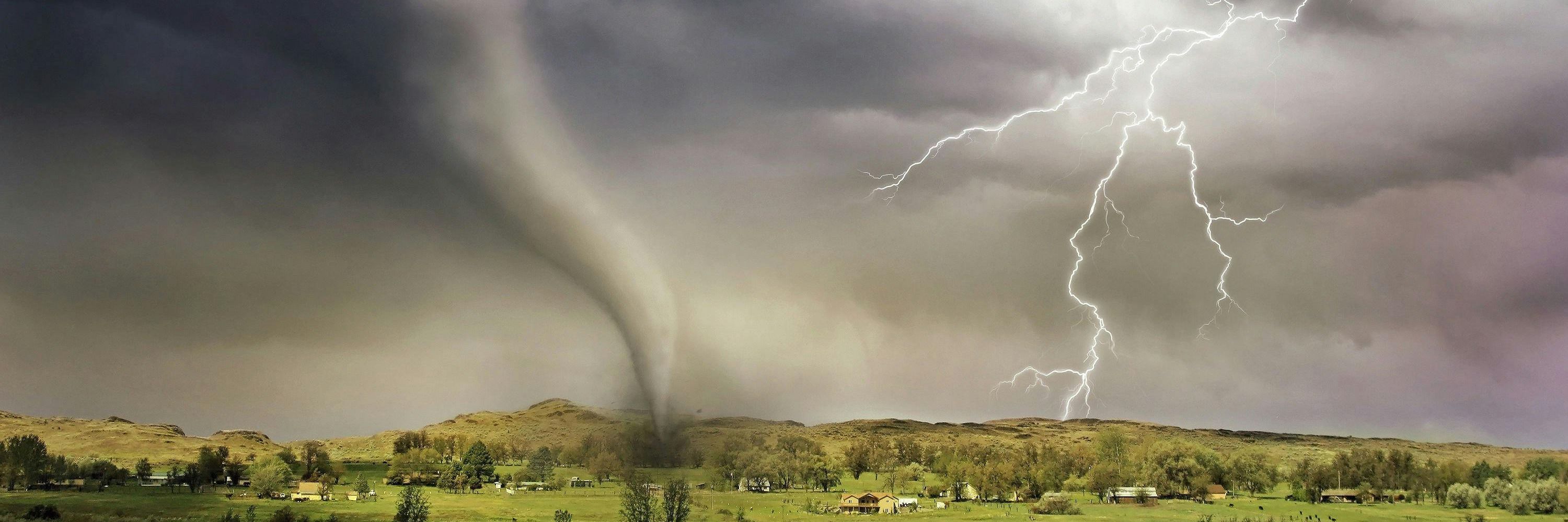
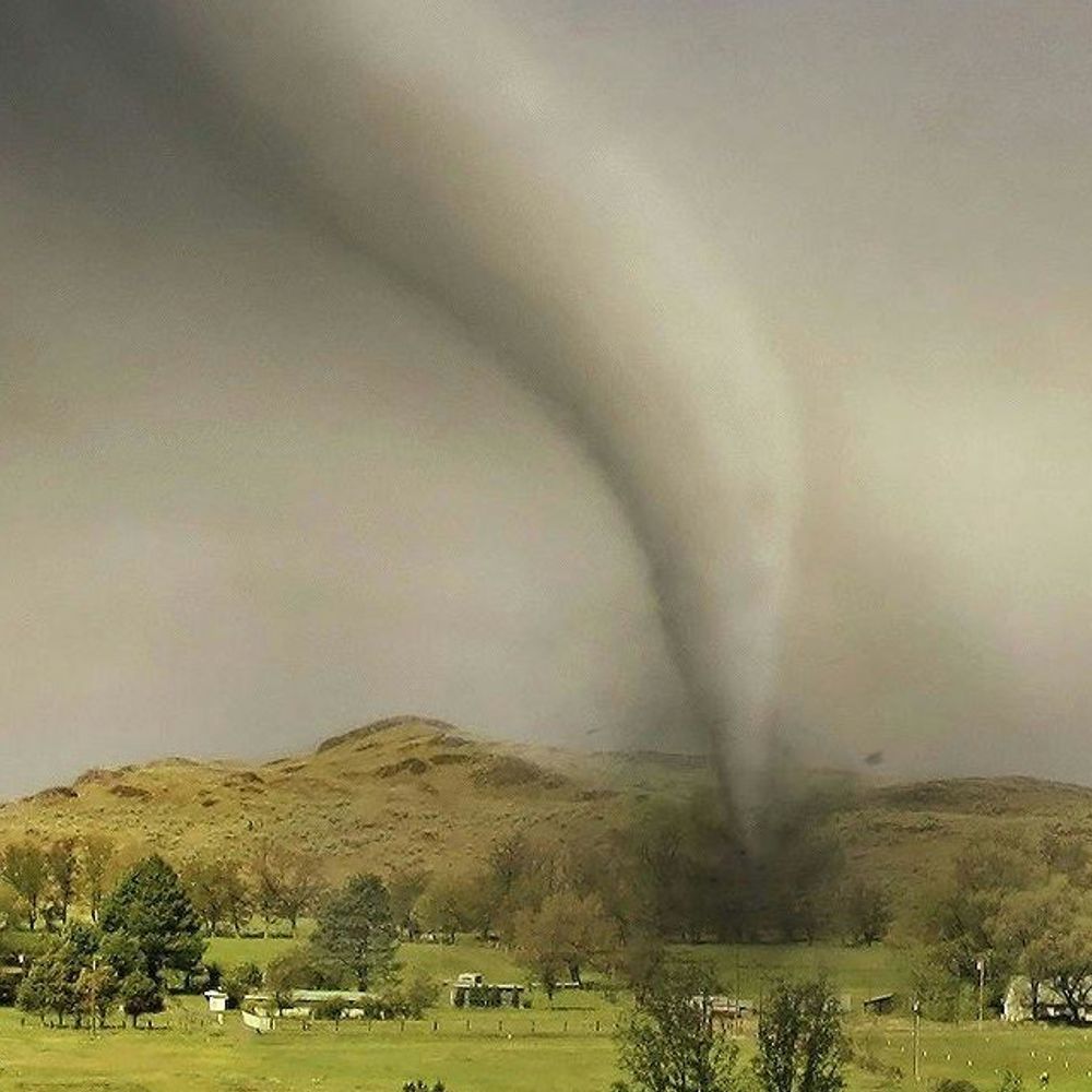
National Weather Service tornado warnings, through the NWS API but not an official NWS product. Run by @mikestucka.bsky.social ... Raw list: https://stuckaweather.dyndns.org/tornado/tornado-log.txt
Posts Media Videos Starter Packs
Brazoria, TX; Galveston, TX: At 652 PM CDT, a severe thunderstorm capable of producing a tornado was located over San Luis Pass, or 12 miles southwest of Galveston Island West End, moving southeast at 15 mph.. NWS: TORNADO WARNING in this area til 7:00 PM CDT. Take shelter now. Check media.
Hardin, TX; Jasper, TX; Tyler, TX: At 449 PM CDT, a severe thunderstorm capable of producing a tornado was located over Fred, moving southeast at 20 mph..
Hardin, TX; Jasper, TX; Tyler, TX: At 439 PM CDT, a severe thunderstorm capable of producing a tornado was located over Fred, moving southeast at 25 mph.. NWS: TORNADO WARNING in this area til 5:15 PM CDT. Take shelter now. Check media.
Tyler, TX: At 426 PM CDT, a severe thunderstorm capable of producing a tornado was located near Spurger, or 7 miles northwest of Fred, moving southeast at 25 mph..
Tyler, TX: At 412 PM CDT, a severe thunderstorm capable of producing a tornado was located near Warren, moving southeast at 25 mph.. NWS: TORNADO WARNING in this area til 4:45 PM CDT. Take shelter now. Check media.
Nacogdoches, TX; Rusk, TX; Shelby, TX: At 411 PM CDT, a severe thunderstorm capable of producing a tornado was located 6 miles northwest of Garrison, or 17 miles north of Nacogdoches, moving east at 55 mph..
Nacogdoches, TX; Rusk, TX; Shelby, TX: At 403 PM CDT, a severe thunderstorm capable of producing a tornado was located 9 miles north of Trawick, or 19 miles north of Nacogdoches, moving east at 40 mph.. NWS: TORNADO WARNING in this area til 4:30 PM CDT. Take shelter now. Check media.
Gregg, TX; Rusk, TX: At 337 PM CDT, a severe thunderstorm capable of producing a tornado was located 6 miles southeast of Kilgore, moving east at 30 mph..
Gregg, TX; Rusk, TX: At 333 PM CDT, a tornado producing storm was located near Kilgore, moving east at 30 mph..
Gregg, TX; Rusk, TX: At 328 PM CDT, a tornado producing storm was located over Kilgore, moving east at 25 mph..
Gregg, TX; Rusk, TX: At 325 PM CDT, a severe thunderstorm capable of producing a tornado was located over Kilgore, moving east at 25 mph.. NWS: TORNADO WARNING in this area til 4:00 PM CDT. Take shelter now. Check media.
Bay, FL; Gulf, FL: The tornado threat has diminished and the Tornado Warning will
expire. However, large hail and damaging winds remain likely and a
Severe Thunderstorm Warning remains in effect for the area. However,
gusty winds and heavy rain are still possible with this thunderstorm..
Bay, FL; Gulf, FL: At 654 AM EDT/554 AM CDT/, a severe thunderstorm capable of producing a tornado was located 7 miles southwest of Tyndall Air Force Base, or 13 miles south of Callaway, moving east at 15 mph.. NWS: TORNADO WARNING in this area til 8:00 AM EDT. Take shelter now. Check media.
Escambia, FL: The tornado threat has diminished and the Tornado Warning has been
cancelled. However, large hail and damaging winds remain likely and a
Severe Thunderstorm Warning remains in effect for the area..
Escambia, FL: At 1121 PM CDT, a severe thunderstorm capable of producing a tornado was located 5 miles north of Lillian, or 8 miles west of Ensley, moving east at 25 mph..
Baldwin, AL; Escambia, FL: At 1110 PM CDT, a severe thunderstorm capable of producing a tornado was located 5 miles northwest of Lillian, or 11 miles northeast of Foley, moving northeast at 20 mph.. NWS: TORNADO WARNING in this area til 11:45 PM CDT. Take shelter now. Check media.
Baldwin, AL: At 1056 PM CDT, a confirmed tornado was located over Elberta, or 6 miles northeast of Foley, moving northeast at 15 mph..
Baldwin, AL: At 1050 PM CDT, a severe thunderstorm capable of producing a tornado was located over Elberta, or 5 miles east of Foley, moving northeast at 15 mph.. NWS: TORNADO WARNING in this area til 11:15 PM CDT. Take shelter now. Check media.
Brevard, FL: At 958 PM EDT, a severe thunderstorm capable of producing a tornado was located near Sharpes, moving west at 10 mph.. NWS: TORNADO WARNING in this area til 10:30 PM EDT. Take shelter now. Check media.
Jackson, MS: A Tornado Watch remains in effect until noon CDT for southern Mississippi..
Jackson, MS: At 1117 AM CDT, a severe thunderstorm capable of producing a tornado was located over Helena, or near Escatawpa, moving north at 10 mph..
Baldwin, AL; Escambia, FL: The storm which prompted the warning has weakened below severe limits, and no longer appears capable of producing a tornado. Therefore, the warning will be allowed to expire..
Baldwin, AL; Escambia, FL: At 1108 AM CDT, a severe thunderstorm capable of producing a tornado was located over Orange Beach, moving northwest at 5 mph..
Jackson, MS: At 1103 AM CDT, a severe thunderstorm capable of producing a tornado was located over Helena, or near Moss Point, moving north at 10 mph..
Baldwin, AL; Escambia, FL: At 1053 AM CDT, a severe thunderstorm capable of producing a tornado was located near Orange Beach, moving northwest at 20 mph.. NWS: TORNADO WARNING in this area til 11:30 AM CDT. Take shelter now. Check media.