Pivotal Weather
@pivotalweather.com
230 followers 2 following 12 posts
Posts Media Videos Starter Packs
pivotalweather.com
Finally: Enhancements to map zooming!
When you zoom in, a pop-up displays details such as the parameter, model, initialization and valid times (in UTC or local time), plus a mini map highlighting the area you are zoomed to.
pivotalweather.com
Next up: Map Defaults! Set your preferred region for map zooms, choose your default map scale (fit or fill), decide whether time labels appear in UTC or local time, and the ability to collapse the menu to expand the map area—so it’s always set just the way you like it.
pivotalweather.com
Throughout 2025, we’ve added new features and thoughtful enhancements. The first we’re excited to share is for our Plus subscribers: Favorites and History! Instantly access your most-used model, parameter, and region combo—or jump back to a recently viewed map.
pivotalweather.com
We are thrilled to announce that our beta experience is now available to everyone! Redesigned for every screen. The new responsive layout delivers a smooth, native-like experience—whether you’re on desktop or mobile.

beta.pivotalweather.com
pivotalweather.com
Sorry about that, and thanks for letting us know! Should be fixed now.
pivotalweather.com
Sorry about that, we had an issue with this morning with the website not "knowing" soundings were available for new runs! Should be up to date now.
pivotalweather.com
Good news for users in the western US! Our regional zooms now include:

Northwest US (modified)
Southwest US (modified)
Northern Rockies (new!)
Four Corners (new!)

We've also added an Alaska zoom for models with data coverage, plus state zooms for ID, MT, and WV! More to come 👀
New regional zoom locations on Pivotal Weather New state zoom locations on Pivotal Weather New regional zoom examples on Pivotal Weather Alaska zoom and new state zoom examples on Pivotal Weather
pivotalweather.com
We are incredibly excited to share with you today that the next generation of Pivotal Weather is coming soon!
pivotalweather.com
(4/4) Both the UKMET and MOGREPS-G are available for U.S. and Canada zooms on Pivotal Weather, including local zooms for Plus subscribers!

UKMET: pivotalweather.com/model.php?m=...

MOGREPS-G: pivotalweather.com/model.php?m=mo
UKMET Kuchera snowfall map for Minnesota UKMET visibility map for North Carolina UKMET QPF map for Kentucky and Tennessee
pivotalweather.com
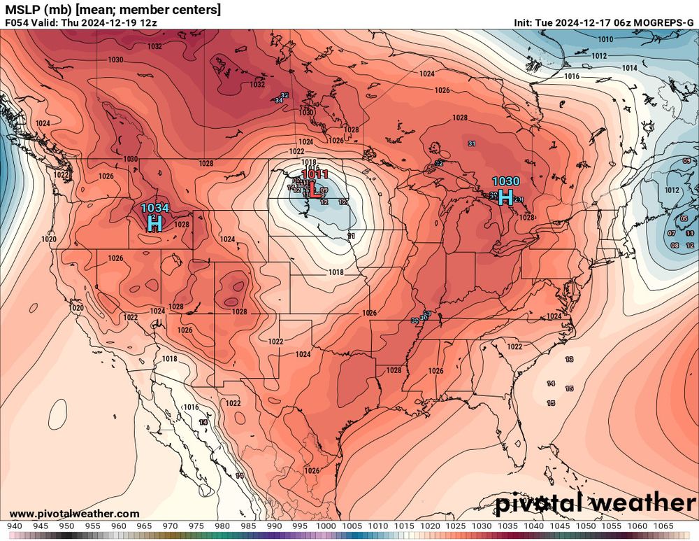
(3/4) We have also added the MOGREPS-G, the Met Office's global ensemble with forecasts out to day 8.

Parameter availability includes QPF and snowfall probabilities, CAPE, daily min/max temps, cloud cover, and more -- in addition to standard surface and upper-air fields.
MOGREPS-G ensemble mean surface temperature anomaly map MOGREPS-G ensemble surface pressure centers map MOGREPS-G ensemble probability map of snowfall exceeding 4"
pivotalweather.com
(2/4) In recent years, the UKMET has edged out the GFS and GDPS (Canadian) in 5-day 500mb height forecasts. If you’re not already using the UKMET for medium-range forecasting, it’s time to start!

(Verification plot via NWS EMC.)
pivotalweather.com
(1/4) We are thrilled to introduce new model data from the UK Met Office on Pivotal Weather!

New UKMET plots:
- Kuchera Snowfall
- Precipitation Type
- CAPE/Hodographs
- Cloud Cover
- And more!

Extended Range:
Now out to day 7, with 3-hourly intervals through day 6.
UKMET precipitation type map for the U.S. UKMET Kuchera snowfall map for the U.S. UKMET CAPE and hodograph map for southeast Texas