Atlantic Ocean
@atlantic-ocean.bsky.social
1.9K followers 74 following 2.1K posts
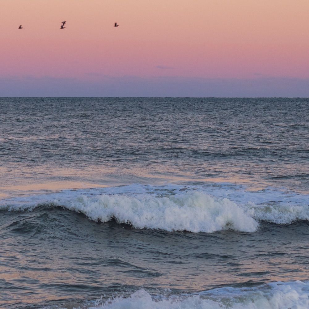
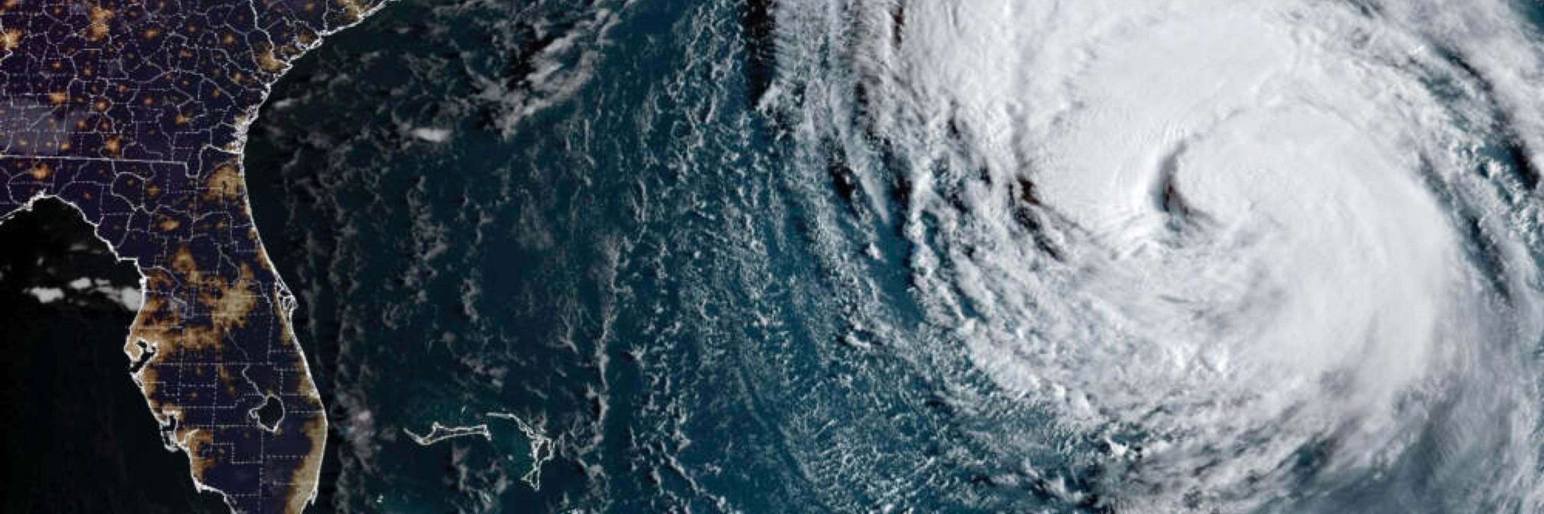
Second largest ocean, but the saltiest 💁‍♀️ and the funniest 🤣 Mysterious, beautiful and scary 🌊🦈 I love making hurricanes 🌀 I’m very wet 😏 You can call me AO 🤝🏼
Posts Media Videos Starter Packs
Pinned
atlantic-ocean.bsky.social
If you’re looking for the nature parody accounts, they’re all right here! I’ll add more as they pop up!👇🏼

go.bsky.app/5ranA88
atlantic-ocean.bsky.social
My son is growing 💪🏼
nhc-atlc.nws-bot.us
Atlantic Tropical Storm Jerry Intermediate Advisory Number 6a
...AIR FORCE RESERVE RECONNAISSANCE AIRCRAFT FINDS JERRY A LITTLE STRONGER... ...TROPICAL STORM CONDITIONS POSSIBLE ON PORTIONS OF THE NORTHERN LEEWARD ISLANDS AS JERRY PASSES NEARBY LATE THURSDAY INTO F...
Additional Details Here.

        000WTNT35 KNHC 082354TCPAT5 BULLETINTropical Storm Jerry Intermediate Advisory Number 6ANWS National Hurricane Center Miami FL       AL102025800 PM AST Wed Oct 08 2025...AIR FORCE RESERVE RECONNAISSANCE AIRCRAFT FINDS JERRY A LITTLE STRONGER......TROPICAL STORM CONDITIONS POSSIBLE ON PORTIONS OF THE NORTHERNLEEWARD ISLANDS AS JERRY PASSES NEARBY LATE THURSDAY INTO FRIDAY...  SUMMARY OF 800 PM AST...0000 UTC...INFORMATION----------------------------------------------LOCATION...14.9N 55.4WABOUT 560 MI...900 KM ESE OF THE NORTHERN LEEWARD ISLANDSMAXIMUM SUSTAINED WINDS...65 MPH...105 KM/HPRESENT MOVEMENT...WNW OR 285 DEGREES AT 21 MPH...33 KM/HMINIMUM CENTRAL PRESSURE...999 MB...29.50 INCHES  WATCHES AND WARNINGS--------------------CHANGES WITH THIS ADVISORY: None. SUMMARY OF WATCHES AND WARNINGS IN EFFECT: A Tropical Storm Watch is in effect for...* Antigua, Barbuda, Anguilla, St. Kitts, Nevis, and Montserrat* St. Barthelemy and St. Martin* Sint Maarten* Saba and St. Eustatius* Guadeloupe and the adjacent islands Interests elsewhere in the northern Leeward Islands and theBritish and U.S. Virgin Islands should monitor the progress ofJerry. For storm information specific to your area, please monitorproducts issued by your national meteorological service.  DISCUSSION AND OUTLOOK----------------------At 800 PM AST (0000 UTC), the center of Tropical Storm Jerry was located by Air Force Reserve reconnaissance aircraft near latitude 14.9 North, longitude 55.4 West. Jerry is moving quickly toward the west-northwest near 21 mph (33 km/h) and and this general motion is expected to continue through Thursday. A northwestward motion at a slower forward speed should begin Thursday night, followed by a northward motion Friday night and Saturday. On the forecast track, the center of Jerry is expected to pass near or to the northeast of the northern Leeward Islands late Thursday and Thursday night. Aircraft dropsonde data indicates that maximum sustained winds have increased to near 65 mph (105 km/h) with higher gusts. Gradual strengthening is forecast during the next few days, and Jerry could become a hurricane late this week or this weekend. Tropical-storm-force winds extend outward up to 175 miles (280 km)from the center. The minimum central pressure estimated by Air Force Reserve dropsonde data is 999 mb (29.50 inches).  HAZARDS AFFECTING LAND----------------------Key messages for Tropical Storm Jerry can be found in the TropicalCyclone Discussion under AWIPS header MIATCDAT5 and WMO headerWTNT45 KNHC. WIND: Tropical storm conditions are possible in portions of thenorthern Leeward Islands within the watch area late Thursday intoFriday. RAINFALL: On Thursday into early Friday, 2 to 4 inches of rain withlocal storm total maxima to 6 inches are expected across the LeewardIslands, British Virgin Islands, and U.S. Virgin Islands fromThursday into Saturday morning due to Jerry. This rainfall brings arisk of flash flooding, especially in areas of steep terrain. For a complete depiction of forecast rainfall and flash floodingassociated with Jerry, please see the National Weather Service StormTotal Rainfall Graphic, available athurricanes.gov/graphics_at5.shtml?rainqpf SURF: Swells generated by Jerry are expected to reach the Leewardand Windward Islands on Thursday, then spread westward toward theGreater Antilles on Friday. These swells are likely to causelife-threatening surf and rip current conditions. Please consultproducts from your local weather office. A depiction of rip current risk for the United States, includingPuerto Rico and the U.S. Virgin Islands, can be found at:hurricanes.gov/graphics_at5.shtml?ripCurrents  NEXT ADVISORY-------------Next complete advisory at 1100 PM AST. $$Forecaster Papin
      Tropical Storm Jerry 5-Day Uncertainty Track Image Tropical Storm Jerry 34-Knot Wind Speed Probabilities
atlantic-ocean.bsky.social
LOOK AT ME 😍

Harvest supermoon rise courtesy of my scribe 🥰🌊🌕
atlantic-ocean.bsky.social
That’s not anything new 🤣
atlantic-ocean.bsky.social
I was hungry 🤷‍♀️
samwalkerobxnews.com
JUST IN: A sixth home collapsed in Buxton at around 11:00 p.m. on Tuesday at the end of Tower Circle Road. Full details:
islandfreepress.org/outer-banks-...
atlantic-ocean.bsky.social
It me
samwalkerobxnews.com
Looking south at The Point (tip of Cape Hatteras) this afternoon, (courtesy Jan Dawson)
atlantic-ocean.bsky.social
My scribe got sandblasted to bring you this video of me doing some damage in the Outer Banks, NC 😈🌊
atlantic-ocean.bsky.social
Edging 😏
nhc-atlc.nws-bot.us
Atlantic Tropical Depression Nine Intermediate Advisory Number 5a issued at Sat, 27 Sep 2025 23:46:20 +0000
...DEPRESSION CONTINUES TO DRIFT SLOWLY NORTHWEST WITH LITTLE CHANGE IN STRENGTH... ...HEAVY RAINS CONTINUE OVER PORTIONS OF EASTERN CUBA AND THE BAHAMAS...
Additional Details Here.

        000WTNT34 KNHC 272346TCPAT4 BULLETINTropical Depression Nine Intermediate Advisory Number 5ANWS National Hurricane Center Miami FL       AL092025800 PM EDT Sat Sep 27 2025 ...DEPRESSION CONTINUES TO DRIFT SLOWLY NORTHWEST WITH LITTLE CHANGE IN STRENGTH......HEAVY RAINS CONTINUE OVER PORTIONS OF EASTERN CUBA AND THEBAHAMAS...  SUMMARY OF 800 PM EDT...0000 UTC...INFORMATION----------------------------------------------LOCATION...22.4N 76.5WABOUT 210 MI...340 KM NW OF THE EASTERN TIP OF CUBAABOUT 95 MI...150 KM SSW OF THE CENTRAL BAHAMASMAXIMUM SUSTAINED WINDS...35 MPH...55 KM/HPRESENT MOVEMENT...NW OR 310 DEGREES AT 5 MPH...7 KM/HMINIMUM CENTRAL PRESSURE...1005 MB...29.68 INCHES  WATCHES AND WARNINGS--------------------CHANGES WITH THIS ADVISORY: None. SUMMARY OF WATCHES AND WARNINGS IN EFFECT: A Tropical Storm Warning is in effect for...* Central Bahamas, including Cat Island, the Exumas, Long Island,Rum Cay, and San Salvador* Portions of the northwestern Bahamas, including Eleuthera, NewProvidence, the Abacos, Berry Islands, Andros island, and GrandBahama Island A Tropical Storm Watch is in effect for...* East coast of Florida from the Palm Beach/Martin County Line tothe Flagler/Volusia County Line A Tropical Storm Warning means that tropical storm conditions areexpected somewhere within the warning area, within 36 hours. A Tropical Storm Watch means that tropical storm conditions arepossible within the watch area, generally within 48 hours. Interests elsewhere in the Bahamas and along the southeast coast ofthe United States from Florida to North Carolina should monitor theprogress of this system. Additional watches or warnings could berequired tonight or on Sunday. For storm information specific to your area in the UnitedStates, including possible inland watches and warnings, pleasemonitor products issued by your local National Weather Serviceforecast office. For storm information specific to your areaoutside of the United States, please monitor products issued byyour national meteorological service.  DISCUSSION AND OUTLOOK----------------------At 800 PM EDT (0000 UTC), the center of Tropical Depression Nine was located by NOAA reconnaissance aircraft near latitude 22.4 North, longitude 76.5 West. The depression is moving slowly toward the northwest near 5 mph (7 km/h). A north-northwestward motion is expected to begin tonight and continue through Monday. On the forecast track, the center of the system is expected to move across the central and northwestern Bahamas on Sunday and Sunday night and approach the southeast U.S. coast early next week. Maximum sustained winds remain near 35 mph (55 km/h) with higher gusts. Strengthening is expected during the next few days, and the system is forecast to become a tropical storm tonight or early Sunday and a hurricane by late Monday or Tuesday. The estimated minimum central pressure measured by aircraft dropsonde data is 1005 mb (29.68 inches).  HAZARDS AFFECTING LAND----------------------Key messages for Tropical Depression Nine can be found in theTropical Cyclone Discussion under AWIPS header MIATCDAT4 and WMOheader WTNT44 KNHC. WIND: Tropical storm conditions are expected in the central Bahamasbeginning tonight or early Sunday and in the northwestern Bahamas onSunday. Tropical storm conditions are possible in the watch areaalong the east coast of Florida on Monday. RAINFALL: Tropical Depression Nine is expected to produce additionalrainfall of 4 to 8 across eastern Cuba and the Bahamas. AcrossHispaniola, Jamaica, and portions of central and southern Cuba, anadditional 1 to 3 inches of rain is expected. This rainfall willlikely produce flash and urban flooding. Mudslides are also possiblein areas of higher terrain across eastern Cuba. By early next week, moisture from Tropical Depression Nine isexpected to bring a threat of heavy rainfall from the east coast ofFlorida northward into the eastern Carolinas. Rainfall amounts of 3to 6 inches are possible, with localized totals of 10 inches acrossportions of the coastal Carolinas. This rainfall could result inflash, urban, and river flooding. Changes in the forecast trackcould result in adjustments to these rainfall totals. For a complete depiction of forecast rainfall and flash floodingassociated with the system, please see the National Weather ServiceStorm Total Rainfall Graphic, available athurricanes.gov/graphics_at4.shtml?rainqpf. STORM SURGE: A storm surge will raise water levels by as much as 1to 3 feet above ground level along the immediate coast in areas ofonshore winds in the northwestern Bahamas. Near the coast, thesurge will be accompanied by large waves. SURF: Swells generated by this system and Hurricane Humberto willaffect portions of the Bahamas this weekend, and spread to portionsof the southeast U.S. coast early next week. These swells are likelyto cause life-threatening surf and rip current conditions. Pleaseconsult products from your local weather office. A depiction of rip current risk for the United States can be foundat: hurricanes.gov/graphics_at4.shtml?ripCurrents  NEXT ADVISORY-------------Next complete advisory at 1100 PM EDT. $$Forecaster Papin
      Tropical Depression Nine 5-Day Uncertainty Track Image Tropical Depression Nine 34-Knot Wind Speed Probabilities
atlantic-ocean.bsky.social
The majority of humans aren’t that bright 😝
atlantic-ocean.bsky.social
I can’t control those wild children. They do what they want 🤣