


EmpressAutumn
@atom596.com
Want to talk or argue? https://discord.gg/aYSrVpxgMW
pfp by @copeic.bsky.social
pfp by @copeic.bsky.social
*References the time zone map on my wall*
Yeah, I have to agree with you there. Even if Ohio and Indiana had to be together, Ohio should go in Central, not the other way around.
Yeah, I have to agree with you there. Even if Ohio and Indiana had to be together, Ohio should go in Central, not the other way around.

November 29, 2025 at 10:28 PM
*References the time zone map on my wall*
Yeah, I have to agree with you there. Even if Ohio and Indiana had to be together, Ohio should go in Central, not the other way around.
Yeah, I have to agree with you there. Even if Ohio and Indiana had to be together, Ohio should go in Central, not the other way around.
Is President Trump tired of winning yet?

November 18, 2025 at 7:48 PM
Is President Trump tired of winning yet?
A new pope has been chosen. Here's a look into an alternate world, where the Papal Conclave elected Joe Biden instead. Naturally, Pope Joe would have moved the Vatican to Delaware, so he could be more at home in his work.
Maybe next time, the Conclave will make the right choice and elect Joe...
Maybe next time, the Conclave will make the right choice and elect Joe...

May 9, 2025 at 1:53 AM
A new pope has been chosen. Here's a look into an alternate world, where the Papal Conclave elected Joe Biden instead. Naturally, Pope Joe would have moved the Vatican to Delaware, so he could be more at home in his work.
Maybe next time, the Conclave will make the right choice and elect Joe...
Maybe next time, the Conclave will make the right choice and elect Joe...
The European Federation was the guarantor of security in Southern Europe, and their civil war left a power vacuum in the region. The resurgent nations of Hungary and Turkey, energized by recent nationalist revolutions, were determined to take advantage of this opportunity.

May 4, 2025 at 6:03 PM
The European Federation was the guarantor of security in Southern Europe, and their civil war left a power vacuum in the region. The resurgent nations of Hungary and Turkey, energized by recent nationalist revolutions, were determined to take advantage of this opportunity.
Also Atlantis was real all along

April 14, 2025 at 6:27 PM
Also Atlantis was real all along
Maryland is fake. I've been living a lie!

April 14, 2025 at 6:27 PM
Maryland is fake. I've been living a lie!
Hobby Lobby is revealing the truth they don’t want you to see! 50% of Brazil is fake!

April 14, 2025 at 3:15 PM
Hobby Lobby is revealing the truth they don’t want you to see! 50% of Brazil is fake!
My stock portfolio looks like the Texas-Oklahoma border

April 7, 2025 at 9:10 PM
My stock portfolio looks like the Texas-Oklahoma border


At the end of World War I, the German Empire has in the midst of conflict and revolution. The liberals, after seizing control of the government, made an bid to the French Republic for Germany to be annexed into the French administration. From this offer, the European Federation was born in 1919.

March 28, 2025 at 2:57 AM
At the end of World War I, the German Empire has in the midst of conflict and revolution. The liberals, after seizing control of the government, made an bid to the French Republic for Germany to be annexed into the French administration. From this offer, the European Federation was born in 1919.
The colonial borders of Africa artificially split some groups apart and forced others together. However, over the 21st Century, many of those borders changed or disappeared entirely. One such border was between the two Congo republics, who became united by common language and geography.

March 16, 2025 at 11:02 PM
The colonial borders of Africa artificially split some groups apart and forced others together. However, over the 21st Century, many of those borders changed or disappeared entirely. One such border was between the two Congo republics, who became united by common language and geography.

Everyone knows that Maryland is the greatest state in the United States, maybe even the whole world. The surrounding inferior states know this too, and have conspired numerous times to steal Maryland's rightful land. This map depicts a better world, one where these awful injustices never occurred.

March 9, 2025 at 10:56 PM
Everyone knows that Maryland is the greatest state in the United States, maybe even the whole world. The surrounding inferior states know this too, and have conspired numerous times to steal Maryland's rightful land. This map depicts a better world, one where these awful injustices never occurred.
This map has been occupying my time over the last two weeks, but I'm glad to say it's done. This is part of a larger project, which I will hopefully finish and share in the near future. Keep your eyes out for that!

February 15, 2025 at 10:54 PM
This map has been occupying my time over the last two weeks, but I'm glad to say it's done. This is part of a larger project, which I will hopefully finish and share in the near future. Keep your eyes out for that!
I need to thank the amazing artist, @copeic.bsky.social, for drawing my new profile picture. Thank you so much!

February 10, 2025 at 1:28 AM
I need to thank the amazing artist, @copeic.bsky.social, for drawing my new profile picture. Thank you so much!
Hey everyone, I'm back with another map. The idea for this map came from my brother, who proposed that the northeast United States would secede and form their own country. I think these borders are semi-realistic in the highly unlikely event of a national divorce.

January 24, 2025 at 4:47 AM
Hey everyone, I'm back with another map. The idea for this map came from my brother, who proposed that the northeast United States would secede and form their own country. I think these borders are semi-realistic in the highly unlikely event of a national divorce.
Here's another map from my scenario where France wins the Napoleonic Wars. This map depicts all of Europe controlled by France on the eve of Napoleon I's death. France is in personal union with Italy and the Confederation of the Rhine, while Holland, Iberia, and Naples are ruled by puppet kings.

January 7, 2025 at 5:03 AM
Here's another map from my scenario where France wins the Napoleonic Wars. This map depicts all of Europe controlled by France on the eve of Napoleon I's death. France is in personal union with Italy and the Confederation of the Rhine, while Holland, Iberia, and Naples are ruled by puppet kings.
A few days ago, I realized that there's a New England and New Scotland (Nova Scotia) right next to each other, and that inspired me to make this map. I haven't come up with any lore for it, so feel free to reply with your own ideas!

January 3, 2025 at 6:57 PM
A few days ago, I realized that there's a New England and New Scotland (Nova Scotia) right next to each other, and that inspired me to make this map. I haven't come up with any lore for it, so feel free to reply with your own ideas!
Here's the long-awaited map four from the State of Norhaven. Filling the gap between Cape County and Stuart County, this is Hyde County. Its county seat is South Beach, which is considered by some to be an honorary part of the City of Hastings.

December 31, 2024 at 11:21 PM
Here's the long-awaited map four from the State of Norhaven. Filling the gap between Cape County and Stuart County, this is Hyde County. Its county seat is South Beach, which is considered by some to be an honorary part of the City of Hastings.
Here's my map of the Confederation of the Rhine in 1830, in a world where France won the Napoleonic Wars. In this timeline, Napoleon does not create the Duchy of Warsaw, and further appeases Russia by sanctioning an invasion and partition of the Ottoman Empire.

December 26, 2024 at 10:22 PM
Here's my map of the Confederation of the Rhine in 1830, in a world where France won the Napoleonic Wars. In this timeline, Napoleon does not create the Duchy of Warsaw, and further appeases Russia by sanctioning an invasion and partition of the Ottoman Empire.
This is map number three from the State of Norhaven, depicting Stuart County. It is located northwest of Hastings and borders New Jersey to its north. The county is deeply intertwined with the two large cities it borders, especially the neighborhood of Minden which is practically an exclave.

December 12, 2024 at 4:17 AM
This is map number three from the State of Norhaven, depicting Stuart County. It is located northwest of Hastings and borders New Jersey to its north. The county is deeply intertwined with the two large cities it borders, especially the neighborhood of Minden which is practically an exclave.
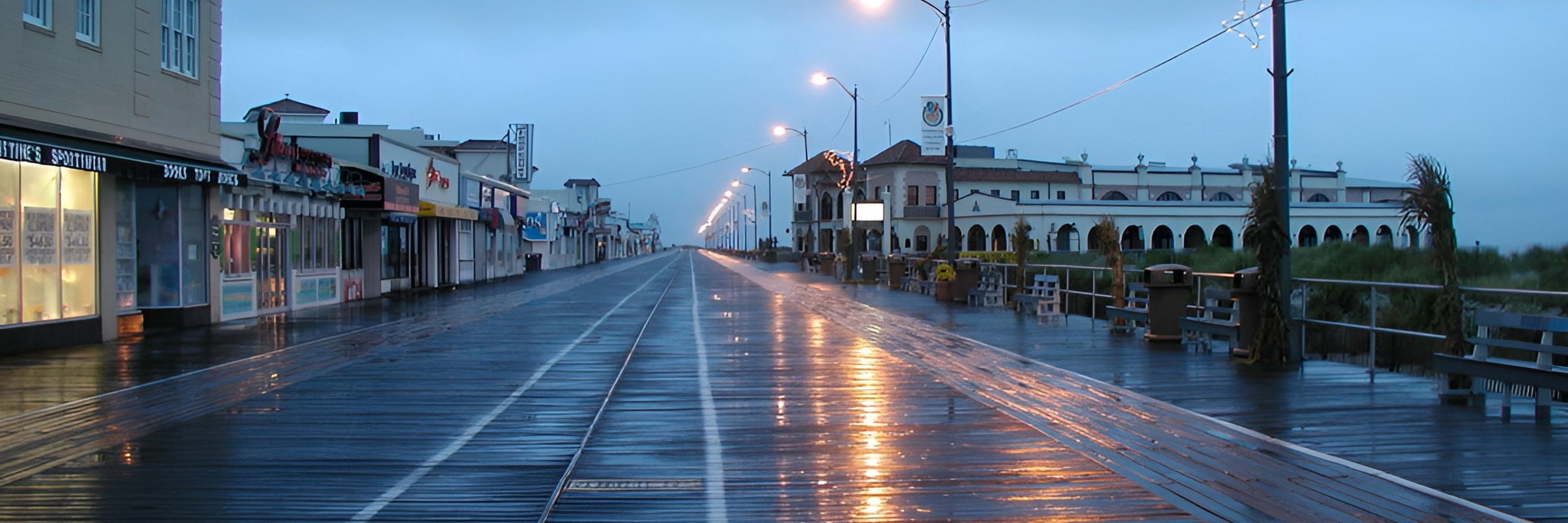
Here's the second map from the State of Norhaven, this time featuring Cape County, the southernmost county in the state. Located on a peninsula along the Atlantic Ocean, Cape County is known for its beautiful beaches.

December 10, 2024 at 2:15 AM
Here's the second map from the State of Norhaven, this time featuring Cape County, the southernmost county in the state. Located on a peninsula along the Atlantic Ocean, Cape County is known for its beautiful beaches.
This is the first map in my series about the fictional state of Norhaven, which is located in the Mid-Atlantic United States. This map depicts Hastings, Norhaven's highly developed capital and largest city.

December 9, 2024 at 4:30 AM
This is the first map in my series about the fictional state of Norhaven, which is located in the Mid-Atlantic United States. This map depicts Hastings, Norhaven's highly developed capital and largest city.