


Ben Beddoes
@benbeddoeswx.bsky.social
Weekend Meteorologist/Reporter at WKYT News 🌩️🌩️
Ryo 6/25/2022 💍❤️
VA ➡️ OH ➡️ VA ➡️ KY
DC, Virginia Tech, and Kentucky sports fan 🏈🏀
Ryo 6/25/2022 💍❤️
VA ➡️ OH ➡️ VA ➡️ KY
DC, Virginia Tech, and Kentucky sports fan 🏈🏀
An early spring feel will be with us to start the new work week. A system will look to bring rain Wednesday night and Thursday but it won't be a significant amount which certainly is good news.


February 24, 2025 at 3:08 AM
An early spring feel will be with us to start the new work week. A system will look to bring rain Wednesday night and Thursday but it won't be a significant amount which certainly is good news.
Very beautiful look at dusk on our WKYT tower cam!

February 24, 2025 at 12:03 AM
Very beautiful look at dusk on our WKYT tower cam!
It's a chilly but sunny afternoon as temperatures have climbed into the 40s. Temperatures only go up from here over the next few days.


February 23, 2025 at 8:22 PM
It's a chilly but sunny afternoon as temperatures have climbed into the 40s. Temperatures only go up from here over the next few days.
Still chilly for today, but we all get into the 40s for highs. Highs continue to go up from here over the next few days.


February 23, 2025 at 11:37 AM
Still chilly for today, but we all get into the 40s for highs. Highs continue to go up from here over the next few days.
Temperatures will make it into the 40s tomorrow as they continue their upward trend. Highs will look to be in the 50s and 60s for the first half of next week!


February 23, 2025 at 2:14 AM
Temperatures will make it into the 40s tomorrow as they continue their upward trend. Highs will look to be in the 50s and 60s for the first half of next week!
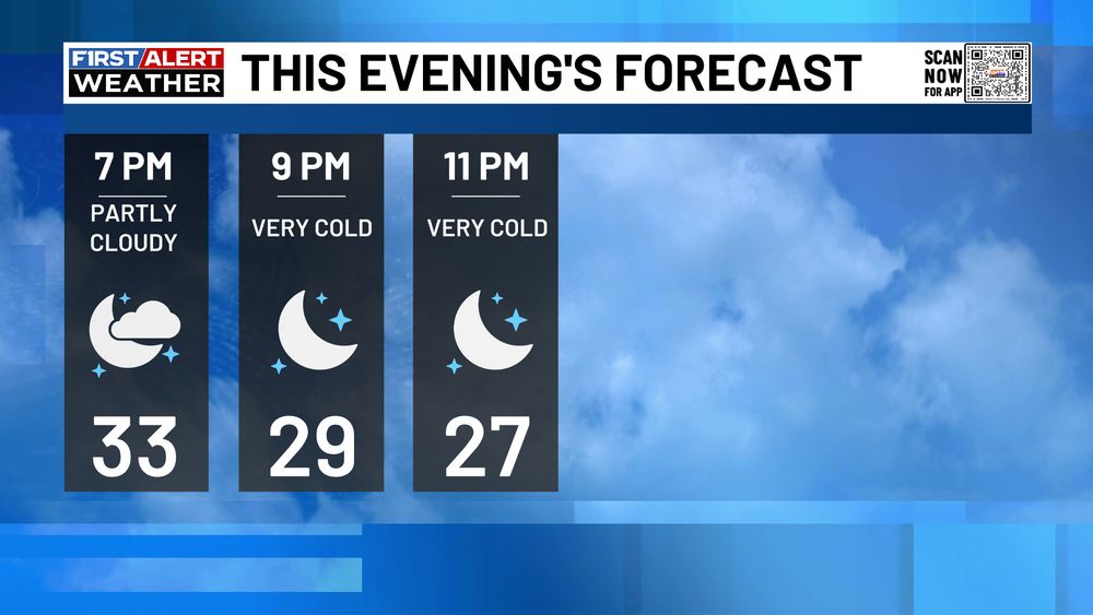
A cold but quiet evening tonight as we see a few clouds and temperatures dipping into the 20s.
February 22, 2025 at 11:24 PM
A cold but quiet evening tonight as we see a few clouds and temperatures dipping into the 20s.
It's a frigid morning as temperatures are mainly in the teens across our area. Temperatures though will at least get above freezing for this afternoon!


February 22, 2025 at 11:14 AM
It's a frigid morning as temperatures are mainly in the teens across our area. Temperatures though will at least get above freezing for this afternoon!
Our next big weather maker is a winter storm that rolls into Kentucky Tuesday night into Wednesday. Models are in great agreement on amounts and placement. Several inches of snow are going to be likely at this point with below-zero wind chills Thursday and Friday morning.


February 17, 2025 at 3:10 AM
Our next big weather maker is a winter storm that rolls into Kentucky Tuesday night into Wednesday. Models are in great agreement on amounts and placement. Several inches of snow are going to be likely at this point with below-zero wind chills Thursday and Friday morning.
We have a lot going on over the next few days. FIRST ALERT WEATHER DAYS will continue throughout this week. Areas shaded in green are currently under some sort of flood warning. We also have Winter Weather Advisories out for tonight and even Winter Storm Watches for the middle of the week.


February 16, 2025 at 11:26 PM
We have a lot going on over the next few days. FIRST ALERT WEATHER DAYS will continue throughout this week. Areas shaded in green are currently under some sort of flood warning. We also have Winter Weather Advisories out for tonight and even Winter Storm Watches for the middle of the week.