


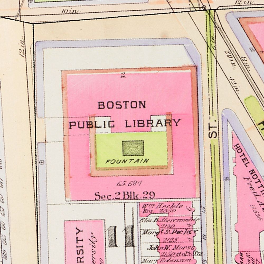
Leventhal Map & Education Center
@bplmaps.bsky.social
We use maps, geography, and history to understand the connection between people and places in Boston, New England, and beyond.
linktr.ee/bplmaps
linktr.ee/bplmaps
Books: Andre DeGraff, "Plotted: A Literary Atlas" (2015): buff.ly/Bb1SiPj , John F. Rooney, "Atlas of American Sport" (1992): buff.ly/uY5irg9 , Dorling Kindersley Limited, "DK World History Atlas" (2005): buff.ly/drxcu2Y

Plotted — Boston Public Library
Plotted — DeGraff, Andrew, — "This incredibly wide-ranging collection of maps -- all inspired by literary classics -- offers readers a new way of looking at their favorite fictional worlds. Andrew…
buff.ly
January 13, 2026 at 4:34 PM
Books: Andre DeGraff, "Plotted: A Literary Atlas" (2015): buff.ly/Bb1SiPj , John F. Rooney, "Atlas of American Sport" (1992): buff.ly/uY5irg9 , Dorling Kindersley Limited, "DK World History Atlas" (2005): buff.ly/drxcu2Y
The seat of war in New England, by an American volunteer : with the marches of the several corps sent by the Colonies towards Boston, with the attack on Bunkers-Hill
(1775): buff.ly/gMnxrO3
Kate Lautenbach, Boston Buildings (2025): buff.ly/NiPiAId
(1775): buff.ly/gMnxrO3
Kate Lautenbach, Boston Buildings (2025): buff.ly/NiPiAId

The seat of war in New England, by an American volunteer - Norman B. Leventhal Map & Education Center
700 Boylston St, Copley Square, Boston MA 02116 617-859-2387
buff.ly
January 10, 2026 at 4:34 PM
The seat of war in New England, by an American volunteer : with the marches of the several corps sent by the Colonies towards Boston, with the attack on Bunkers-Hill
(1775): buff.ly/gMnxrO3
Kate Lautenbach, Boston Buildings (2025): buff.ly/NiPiAId
(1775): buff.ly/gMnxrO3
Kate Lautenbach, Boston Buildings (2025): buff.ly/NiPiAId
Maps:
District within fire limit of Tokyo - 1928 (1928): buff.ly/bi8oKj1
National Map Company, National street map of Indianapolis... (1921): buff.ly/xIcvVAN
Louis Bretez, Plan de Paris : commencé l'année 1734 (1739?): buff.ly/XZc2lJ4
District within fire limit of Tokyo - 1928 (1928): buff.ly/bi8oKj1
National Map Company, National street map of Indianapolis... (1921): buff.ly/xIcvVAN
Louis Bretez, Plan de Paris : commencé l'année 1734 (1739?): buff.ly/XZc2lJ4

District within fire limit of Tokyo - 1928 - Norman B. Leventhal Map & Education Center
700 Boylston St, Copley Square, Boston MA 02116 617-859-2387
buff.ly
January 10, 2026 at 4:34 PM
Maps:
District within fire limit of Tokyo - 1928 (1928): buff.ly/bi8oKj1
National Map Company, National street map of Indianapolis... (1921): buff.ly/xIcvVAN
Louis Bretez, Plan de Paris : commencé l'année 1734 (1739?): buff.ly/XZc2lJ4
District within fire limit of Tokyo - 1928 (1928): buff.ly/bi8oKj1
National Map Company, National street map of Indianapolis... (1921): buff.ly/xIcvVAN
Louis Bretez, Plan de Paris : commencé l'année 1734 (1739?): buff.ly/XZc2lJ4
At the end of their co-op term, we sat down with Artem and Kate to learn more about their interests, work at the Center, and how YouTube videos contributed to a lifelong love of geography and history.
Read their full interviews via the link in our bio.
Read their full interviews via the link in our bio.
January 10, 2026 at 4:34 PM
At the end of their co-op term, we sat down with Artem and Kate to learn more about their interests, work at the Center, and how YouTube videos contributed to a lifelong love of geography and history.
Read their full interviews via the link in our bio.
Read their full interviews via the link in our bio.
As our GIS & Geohumanities and Visitor Service & Operations Assistants, visitors interacted with them frequently as our front desk associates, but they also contributed to research for upcoming exhibitions, programming and events, writing articles, contributing to our social media, and so much more.
January 10, 2026 at 4:34 PM
As our GIS & Geohumanities and Visitor Service & Operations Assistants, visitors interacted with them frequently as our front desk associates, but they also contributed to research for upcoming exhibitions, programming and events, writing articles, contributing to our social media, and so much more.
Globe maker Gilman Joslin published his instructional manual on the use of his terrestrial and celestial globes in the late 19th century. His concise work describes features of his globes, and why they are useful educational tools.
January 4, 2026 at 4:34 PM
Globe maker Gilman Joslin published his instructional manual on the use of his terrestrial and celestial globes in the late 19th century. His concise work describes features of his globes, and why they are useful educational tools.
A number of instructional manuals on the use of globes were written in the 19th century. Manuals were written by educators to assist children using globes in the classroom, or by globe makers themselves, to explain the functions of their product.
January 4, 2026 at 4:34 PM
A number of instructional manuals on the use of globes were written in the 19th century. Manuals were written by educators to assist children using globes in the classroom, or by globe makers themselves, to explain the functions of their product.
The book explores how Boston has been shaped by globalization and how it has also affected the processes of globalization. O’Connell teaches in the City Planning-Urban Affairs Program at Boston University. He will be in discussion with Marilynn S. Johnson (Boston College Department of History).
January 3, 2026 at 4:34 PM
The book explores how Boston has been shaped by globalization and how it has also affected the processes of globalization. O’Connell teaches in the City Planning-Urban Affairs Program at Boston University. He will be in discussion with Marilynn S. Johnson (Boston College Department of History).
Amazing piece of history!
December 29, 2025 at 5:17 PM
Amazing piece of history!
Though at first these sketches might seem like a straightforward reference guide to the regional landscape, the full set of sheets draw readers into stories of natural and human history that together make up a fully “place-based” study that is a hallmark of geography’s interdisciplinary tendencies.
December 28, 2025 at 4:34 PM
Though at first these sketches might seem like a straightforward reference guide to the regional landscape, the full set of sheets draw readers into stories of natural and human history that together make up a fully “place-based” study that is a hallmark of geography’s interdisciplinary tendencies.
John Kirtland Wright (1891–1969) was an important academic geographer and for many years served as the librarian of the American Geographical Society. He retired to New Hampshire and in 1966, he sketched this panoramic view of “The Pinnacle,” a small rocky rise also known as Acorn Hill.
December 28, 2025 at 4:34 PM
John Kirtland Wright (1891–1969) was an important academic geographer and for many years served as the librarian of the American Geographical Society. He retired to New Hampshire and in 1966, he sketched this panoramic view of “The Pinnacle,” a small rocky rise also known as Acorn Hill.
The Federal Writers Projects of Massachusetts, “Winter sports map of the Berkshire Hills,” (1936) buff.ly/Rae1Bdk

Winter sports map of the Berkshire Hills - Norman B. Leventhal Map & Education Center
700 Boylston St, Copley Square, Boston MA 02116 617-859-2387
buff.ly
December 25, 2025 at 4:34 PM
The Federal Writers Projects of Massachusetts, “Winter sports map of the Berkshire Hills,” (1936) buff.ly/Rae1Bdk
Image Credits Below
Map of Greylock Center Site: buff.ly/uLLbq0x
Greylock Mountain Postcard: buff.ly/or2c6Pl
The Appalachian Trail in Massachusetts:https://buff.ly/m0OV8ZX
Map of Greylock Center Site: buff.ly/uLLbq0x
Greylock Mountain Postcard: buff.ly/or2c6Pl
The Appalachian Trail in Massachusetts:https://buff.ly/m0OV8ZX

Map of Greylock center site, Adams, Massachusetts
An online library of photographs, manuscripts, audio recordings, and other materials of historical interest from libraries, museums, archives, and historical societies across Massachusetts.
www.digitalcommonwealth.org
December 23, 2025 at 4:34 PM
Image Credits Below
Map of Greylock Center Site: buff.ly/uLLbq0x
Greylock Mountain Postcard: buff.ly/or2c6Pl
The Appalachian Trail in Massachusetts:https://buff.ly/m0OV8ZX
Map of Greylock Center Site: buff.ly/uLLbq0x
Greylock Mountain Postcard: buff.ly/or2c6Pl
The Appalachian Trail in Massachusetts:https://buff.ly/m0OV8ZX
See our tracker here! buff.ly/XfrQlUU
Donate today (or tomorrow!). We’ll send a gift to you in the mail as a thank you for supporting our mission. If you have already donated, we truly appreciate your support.
Donate today (or tomorrow!). We’ll send a gift to you in the mail as a thank you for supporting our mission. If you have already donated, we truly appreciate your support.

Home - Leventhal Map & Education Center at the Boston Public Library
We use maps, geography, and history to explore the connections between places and people in Boston, New England, and beyond. Our collection of a quarter million goegraphic objects, our educational…
leventhalmap.donorsupport.co
December 23, 2025 at 4:34 PM
See our tracker here! buff.ly/XfrQlUU
Donate today (or tomorrow!). We’ll send a gift to you in the mail as a thank you for supporting our mission. If you have already donated, we truly appreciate your support.
Donate today (or tomorrow!). We’ll send a gift to you in the mail as a thank you for supporting our mission. If you have already donated, we truly appreciate your support.
If you aren’t a fan of freezing climbs, don't worry—this December you can watch the snow fall at the LMEC, no snowboots required. Through December 31, every $15 donation will make ½ inch of snow “pile up” in our snow tracker as we try to beat Boston’s Blue Hill Observatory record December snowfall.
Home - Leventhal Map & Education Center at the Boston Public Library
We use maps, geography, and history to explore the connections between places and people in Boston, New England, and beyond. Our collection of a quarter million goegraphic objects, our educational…
leventhalmap.donorsupport.co
December 23, 2025 at 4:34 PM
If you aren’t a fan of freezing climbs, don't worry—this December you can watch the snow fall at the LMEC, no snowboots required. Through December 31, every $15 donation will make ½ inch of snow “pile up” in our snow tracker as we try to beat Boston’s Blue Hill Observatory record December snowfall.