


Ben Schmidt
@bschmidt.bsky.social
VP of Information Design at Nomic building new interfaces to embeddings; former history professor/digital humanist. Bsky for humanities/dataviz-y things, @[email protected] for techy stuff, the bad place for business.
https://benschmidt.org
https://benschmidt.org
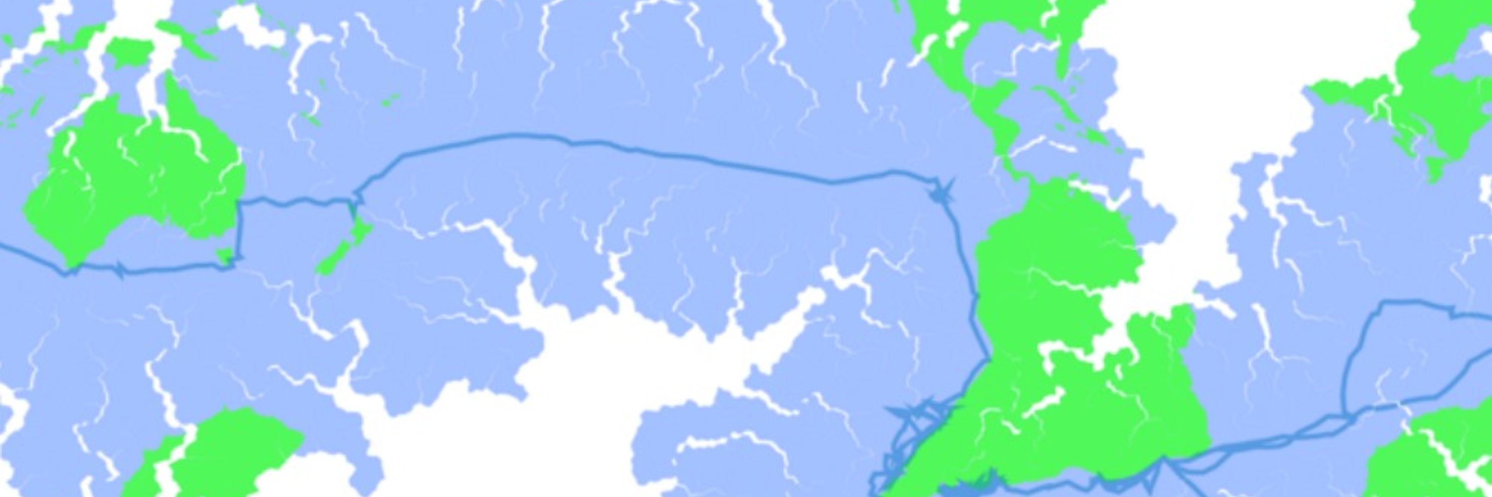
now we can use the 'equator' between the land pole and water pole (i.e., the points with the most land and water near them) as a first approximation to calculate the curve, and view it on a projection with those as the poles. That's faster than what I *was* doing, using latitude and longitude.
December 4, 2025 at 1:00 AM
now we can use the 'equator' between the land pole and water pole (i.e., the points with the most land and water near them) as a first approximation to calculate the curve, and view it on a projection with those as the poles. That's faster than what I *was* doing, using latitude and longitude.
OK, yeah moving to using the land-pole equator makes calculating the line much faster.
December 4, 2025 at 12:54 AM
OK, yeah moving to using the land-pole equator makes calculating the line much faster.