Chaney Swiney
@chaneyswiney.com
250 followers 190 following 290 posts
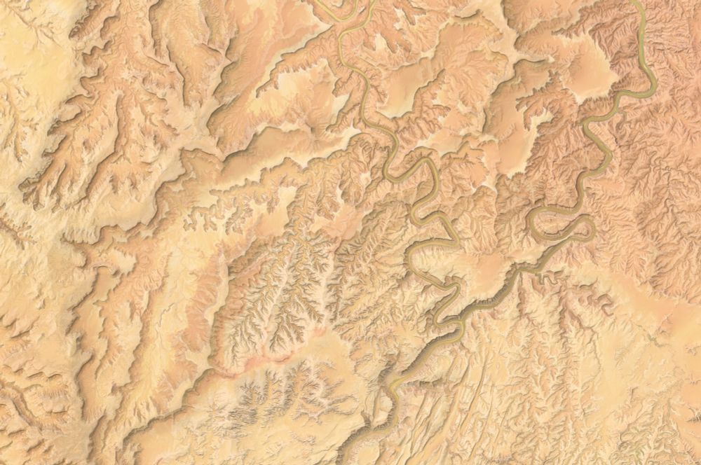
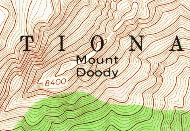
cartographer, geographer, & field-checker for Benchmark Maps & Raven Maps photographer & naturalist on my own www.chaneyswiney.com
Posts Media Videos Starter Packs
chaneyswiney.com
The highest peak in the east, looking nice with a little fall color mixing in among the spruce and fir.

#mtmitchell #northcarolina #blackmountains
The summit of Mt Mitchell in North Carolina, seen from Mt Craig. Clouds float in a blue sky, grazing the high elevation conifer forests with yellows and oranges mixed in as the deciduous trees begin to lose their leaves.
Reposted by Chaney Swiney
spahn711.bsky.social
Absolutely stunning display as episode 34 of the Kilauea eruption came to life with dual lava fountains looking like wings of a Phoenix!

Live here: www.youtube.com/watch?v=Bqmp...
chaneyswiney.com
Too many pickles? Want to save them for later? You need a...
the map says Pickle Bank
chaneyswiney.com
Are you a horse? Need a place to just kick back and rest for a while? Try a...
Screenshot of a map with the label "Horse Hammock" in black
Reposted by Chaney Swiney
pjvphotography.bsky.social
"Pat, why do you carry that ridiculous 600mm lens on long hikes?"

Buddy, I can see mountains reflected in the eyes of a trailside pika.
A pika sits on a mossy rock. Tighter crop of the same pika, focusing on its head. An even tighter crop, focusing more on the pika's eye. An extremely tight crop of the pika's eye, emphasizing their reflection of an early morning mountain scene.
chaneyswiney.com
Playing with Peakscapes again. This one will always one of my favorites because it was the one where I dialed in the sunset look. The colors of a day ending in the Southern Appalachians can be pretty spectacular.

www.ravenmaps.com/mm5/merchant...
"Peakscape" showing the Black Mountains in North Carolina. Summits are labeled with names and elevations. Colors run in a gradient of darker to lighter purple on the landscape under a sky of pink and orange.
Reposted by Chaney Swiney
rsimmon.bsky.social
Extraordinary terrain shading in this pre Civil War map of Colorado River.

from www.raremaps.com/gallery/deta...

#cartography 🗺️
Map notable for its innovative depictions of the topography and the geology of the Colorado River, the result of development of a new method for representing topography that imparts the appearance of depth to the topography and nearly mimics a satellite image.
chaneyswiney.com
Watched this premiere on YouTube last night after following these guys and their 2024 big year. Can't recommend it highly enough. It's a great watch. They know birds (now), and they know how to make a good film.
LISTERS: A Glimpse Into Extreme Birdwatching
YouTube video by owen reiser
youtu.be
chaneyswiney.com
The original photo, for reference. Taken on Mt Bachelor in 2017. I'd seen this individual the night before and knew I'd be back in the same area the next day. Thankfully, our paths crossed again.
A Sierra Nevada red fox with gray, brown, and black fur stares in to the camera with orange eyes. She is stepping across the snow the covers the forest floor.
chaneyswiney.com
Got an email from a wildlife researcher at Sequoia & Kings Canyon a few weeks ago asking to use on of my Sierra Nevada red fox photos on a patch. The finished product came in the mail today, and it looks sweet! Gotta figure out a good place to put this thing.
Circular patch with a red, orange, black, and white color scheme. A fox’s face is centered in the design, surrounded by red and black circles. The text reads “SEQUOIA KINGS CANYON WILDLIFE 2025”
chaneyswiney.com
Glad to hear it, and thanks for the kind words! Hopefully there are opportunities to do more of them soon. They're just so much fun to make!
chaneyswiney.com
Pictures can't convey just how good the Wallowas were a few weeks ago, but let's try anyway.
Late light in the upper reaches of the East Fork Wallowa River watershed. Wildflowers bloom in the rocks in the foreground. Sunlight washes over the forested knolls and meadows beyond, and the craggy spine of Bonneville Mountain rises beneath dark clouds. A hiker stands on an alpine ridge line with green vegetation covering the flanks to the left and red rocks to the right. Puffy clouds billow in the skies over multicolored mountains still clinging to their snow in mid summer. A creek flows out of a high lake, fringed by vegetation and bright marble rock. A mountain summit catches the first light of day in the background, and yellows and pinks infuse the light cloud cover.
chaneyswiney.com
More of this, please. Every pamphlet needs some top tier wildlife illustrations, in my opinion. Even if the pamphlet isn't about wildlife. Just throw something in there!
callanbentley.bsky.social
Joe Thornbrugh illustration of a Great Gray Owl from a 1990 pamphlet from Montana Dept. of Fish, Wildlife & Parks. 🦉 #birds
Large round headed owl on a pine branch.
chaneyswiney.com
Thank you to @nodgih.com for making me do the NYT crossword today. It was made for me.
chaneyswiney.com
#Yellowstone brochure map from 1980. Looks a lot different from the modern NPS style, but those colors are great!
Map of Yellowstone National Park. Green is land, blue is water, red is roads. Yellowstone Lake sits near the center of the image. Closeup of the Canyon Area detail map. No shaded relief here. Closeup of the East Entrance.
Reposted by Chaney Swiney
geo-coe.bsky.social
New, super-detailed Dry Falls interpretive map from the Washington Geological Survey. #iceagefloods #missoulafloods #channeledscablands #geomorphology washingtonstategeology.wordpress.com/2025/07/15/n...
Map of Dry Falls in Washington State's Channeled Scablands Detailed view of Dry Falls map from Washington State's Channeled Scablands
chaneyswiney.com
Thanks to the efforts of @nodgih.com, I now know about this wonderful document of words with a consectuvie triple double, something even the Bitterroots fail to achieve. Let's get some Sheeppoop Mountains on the map somewhere!
chaneyswiney.com
Are there any other mountain ranges with three sets of double letters in their names? Bitterroot always jumps off the page when I see it.
Bitterroot Mountains - Wikipedia
en.wikipedia.org
chaneyswiney.com
I know it's named after one of the original park rangers at Glacier. It's still an unfortunate name.
chaneyswiney.com
Working on a map of Minnesota and learning that it's got some great county names based on geography/nature: Big Stone, Otter Tail, Crow Wing. Why name a county after some rando when you could just call it Blue Earth County?
Reposted by Chaney Swiney
danhopp.bsky.social
Reading the Where’s Waldo audiobook and they’re just describing each person individually then try to slip “Waldo” in there real fast but I HEARD IT
chaneyswiney.com
Didn’t know about this app, but I’ve always wanted something that can do pull point forecasts from NWS! Good to know. Enjoy that high sierra weather!