


Cutter Martin
@cuttermartin.bsky.social
Meteorologist at WJZ | CBS Baltimore
Lover of weather, food and the beach. 😎
Lover of weather, food and the beach. 😎
Light dusting in Mount Airy so far.
📸 Jack Rudden
📸 Jack Rudden

December 5, 2025 at 12:03 PM
Light dusting in Mount Airy so far.
📸 Jack Rudden
📸 Jack Rudden
Snow is starting to stick on elevated roadways and bridges, overpasses.
I-70 near Mount Airy…
I-70 near Mount Airy…

December 5, 2025 at 11:43 AM
Snow is starting to stick on elevated roadways and bridges, overpasses.
I-70 near Mount Airy…
I-70 near Mount Airy…
Snow falling in La Plata, MD, just before 5AM.
🎥 @bean_taylor on Twitter
🎥 @bean_taylor on Twitter
December 5, 2025 at 10:38 AM
Snow falling in La Plata, MD, just before 5AM.
🎥 @bean_taylor on Twitter
🎥 @bean_taylor on Twitter
Light snow is gradually building its way north and northeastward… into our area. Steve Sosna is tracking it this morning on WJZ & streaming at www.cbsnews.com/baltimore/li...

December 5, 2025 at 9:06 AM
Light snow is gradually building its way north and northeastward… into our area. Steve Sosna is tracking it this morning on WJZ & streaming at www.cbsnews.com/baltimore/li...
🥶 Freezing night ahead. Dress warmly if you have outdoor plans. Light snow arrives early Friday morning - it’ll be a slower morning commute.

December 4, 2025 at 11:05 PM
🥶 Freezing night ahead. Dress warmly if you have outdoor plans. Light snow arrives early Friday morning - it’ll be a slower morning commute.
Cold weather is here and a round of snow is on the way for many in Maryland on Friday. Tracking it this evening on WJZ or streaming at cbsnews.com/baltimore/live/

December 4, 2025 at 8:49 PM
Cold weather is here and a round of snow is on the way for many in Maryland on Friday. Tracking it this evening on WJZ or streaming at cbsnews.com/baltimore/live/
Winter Weather Advisory goes into effect at 4 a.m. Friday. Southern Baltimore County, Baltimore City included. Snowfall totals from a coating to up around an inch are expected in the advisory area.

December 4, 2025 at 7:44 PM
Winter Weather Advisory goes into effect at 4 a.m. Friday. Southern Baltimore County, Baltimore City included. Snowfall totals from a coating to up around an inch are expected in the advisory area.
…and y’all, Thursday evening and night is going to be COLD. Wind chills quickly drop into the teens after sunset and will stay there through Friday morning.


December 4, 2025 at 12:58 AM
…and y’all, Thursday evening and night is going to be COLD. Wind chills quickly drop into the teens after sunset and will stay there through Friday morning.
The WJZ first alert weather team is tracking out next chance of wintry weather, streaming at www.cbsnews.com/baltimore/li...

December 3, 2025 at 9:19 PM
The WJZ first alert weather team is tracking out next chance of wintry weather, streaming at www.cbsnews.com/baltimore/li...

Looks like there could be some ice accretion on limbs (right side) up 83 near York Road in Baltimore County.

December 2, 2025 at 12:38 PM
Looks like there could be some ice accretion on limbs (right side) up 83 near York Road in Baltimore County.
Ice and slush on parked cars off Bel Air Road in Fallston. @wjz


December 2, 2025 at 11:44 AM
Ice and slush on parked cars off Bel Air Road in Fallston. @wjz
Tuesday’s storm is on the move. @rachaeltv.bsky.social is tracking your Tuesday morning commute impact, streaming at www.cbsnews.com/baltimore/li... starting at 4.

December 1, 2025 at 7:59 PM
Tuesday’s storm is on the move. @rachaeltv.bsky.social is tracking your Tuesday morning commute impact, streaming at www.cbsnews.com/baltimore/li... starting at 4.
🚨 Winter Weather Advisory
In effect 3AM-1PM on Tuesday across portions of central Maryland & the Baltimore metro. There will be a steady mix of rain, sleet, and snow falling across the Baltimore Metro during the morning commute.
Plan in extra time.
In effect 3AM-1PM on Tuesday across portions of central Maryland & the Baltimore metro. There will be a steady mix of rain, sleet, and snow falling across the Baltimore Metro during the morning commute.
Plan in extra time.

December 1, 2025 at 6:10 AM
🚨 Winter Weather Advisory
In effect 3AM-1PM on Tuesday across portions of central Maryland & the Baltimore metro. There will be a steady mix of rain, sleet, and snow falling across the Baltimore Metro during the morning commute.
Plan in extra time.
In effect 3AM-1PM on Tuesday across portions of central Maryland & the Baltimore metro. There will be a steady mix of rain, sleet, and snow falling across the Baltimore Metro during the morning commute.
Plan in extra time.
Tuesday’s storm system comes with a complicated forecast.
Baltimore City could see a quick 1” of snow & sleet early Tuesday, before changing over to rain; more the farther north, northwest you go.
The WJZ team will continue to update the forecast as the storm approaches.
Baltimore City could see a quick 1” of snow & sleet early Tuesday, before changing over to rain; more the farther north, northwest you go.
The WJZ team will continue to update the forecast as the storm approaches.

November 30, 2025 at 8:55 PM
Tuesday’s storm system comes with a complicated forecast.
Baltimore City could see a quick 1” of snow & sleet early Tuesday, before changing over to rain; more the farther north, northwest you go.
The WJZ team will continue to update the forecast as the storm approaches.
Baltimore City could see a quick 1” of snow & sleet early Tuesday, before changing over to rain; more the farther north, northwest you go.
The WJZ team will continue to update the forecast as the storm approaches.
Looking more like pure light snow on 83, north of Timonium Road.
November 30, 2025 at 1:24 PM
Looking more like pure light snow on 83, north of Timonium Road.
Sleet and snow can be seen falling on the @MarylandDOT camera at I-70 & MD 27. This is in the Mount Airy area.
7:53 AM
7:53 AM
November 30, 2025 at 12:54 PM
Sleet and snow can be seen falling on the @MarylandDOT camera at I-70 & MD 27. This is in the Mount Airy area.
7:53 AM
7:53 AM
Mixed precip (sleet, snow, graupel, rain) is moving into metro Baltimore. Temps are mostly well above freezing already and will slowly warm through the morning.
7:50 AM
7:50 AM

November 30, 2025 at 12:51 PM
Mixed precip (sleet, snow, graupel, rain) is moving into metro Baltimore. Temps are mostly well above freezing already and will slowly warm through the morning.
7:50 AM
7:50 AM
A scattered (and light) wintry mix will move in Sunday morning, giving way to a cold rain late-morning onward. No wintry accumulation, locally.
….but, you may see a few flakes or sleet pellets.
….but, you may see a few flakes or sleet pellets.


November 30, 2025 at 2:07 AM
A scattered (and light) wintry mix will move in Sunday morning, giving way to a cold rain late-morning onward. No wintry accumulation, locally.
….but, you may see a few flakes or sleet pellets.
….but, you may see a few flakes or sleet pellets.
Miracle on 34th kicking off this evening, in Hampden @wjz


November 30, 2025 at 2:03 AM
Miracle on 34th kicking off this evening, in Hampden @wjz
Storm will impact the east coast Monday night, into Tuesday. There is a chance of accumulating snow in Maryland, even away from the mountains. 👀
Exact rain/snow line remains uncertain. The farther northwest from I-95 you go, you have a better shot at some slushy accumulation.
Exact rain/snow line remains uncertain. The farther northwest from I-95 you go, you have a better shot at some slushy accumulation.

November 29, 2025 at 11:18 PM
Storm will impact the east coast Monday night, into Tuesday. There is a chance of accumulating snow in Maryland, even away from the mountains. 👀
Exact rain/snow line remains uncertain. The farther northwest from I-95 you go, you have a better shot at some slushy accumulation.
Exact rain/snow line remains uncertain. The farther northwest from I-95 you go, you have a better shot at some slushy accumulation.
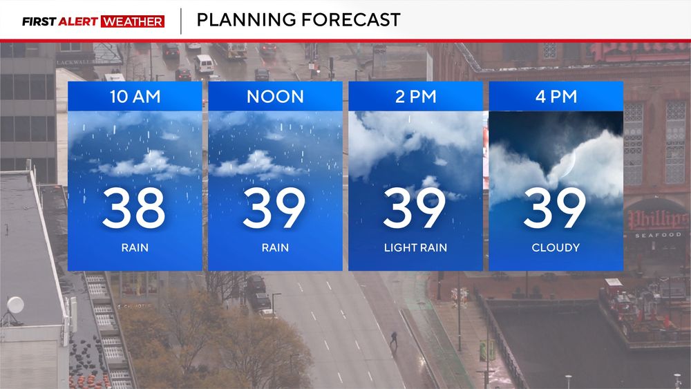
Clouds increase as temperatures settle back into the upper 20s and lower 30s this evening. The forecast remains dry for evening plans, ahead of scattered wintry mix and cold rain Sunday.

November 29, 2025 at 10:28 PM
Clouds increase as temperatures settle back into the upper 20s and lower 30s this evening. The forecast remains dry for evening plans, ahead of scattered wintry mix and cold rain Sunday.


Active weather pattern continues. The @wjz first alert weather team are keeping an eye on Sunday & Tuesday. Rain may begin as a light mix on Sunday. There is a greater chance of impactful wintry weather on Tuesday.
Watchin’ it 👀
Watchin’ it 👀

November 27, 2025 at 10:03 PM
Active weather pattern continues. The @wjz first alert weather team are keeping an eye on Sunday & Tuesday. Rain may begin as a light mix on Sunday. There is a greater chance of impactful wintry weather on Tuesday.
Watchin’ it 👀
Watchin’ it 👀