


Daniel Silk
@dwsilk.bsky.social
Geospatial Product Owner at Toitū Te Whenua LINZ
🪣 s3://nz-imagery | s3://nz-elevation
🔗 https://basemaps.linz.govt.nz/
🌍 https://osgeo-oceania.org/ | https://2025.foss4g.org/
🪣 s3://nz-imagery | s3://nz-elevation
🔗 https://basemaps.linz.govt.nz/
🌍 https://osgeo-oceania.org/ | https://2025.foss4g.org/
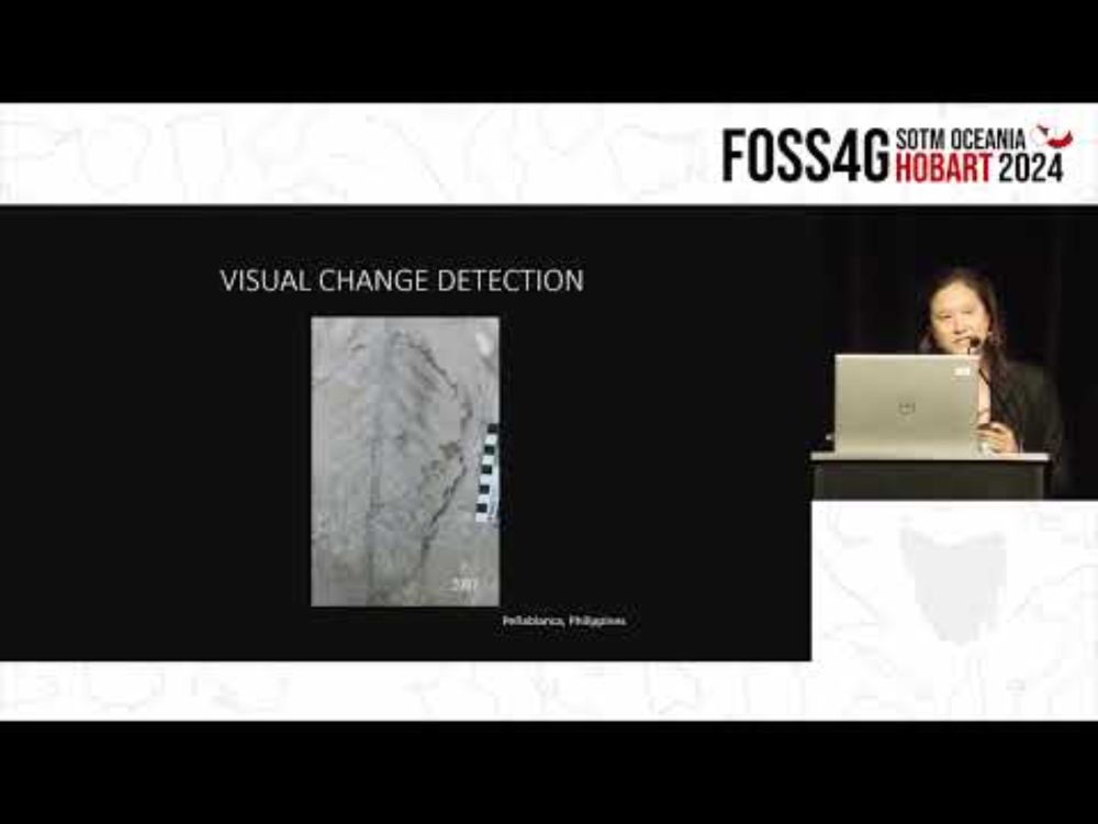
Using photogrammetry, lidar, hillshades and false colour imagery to better visualise rock art!
www.youtube.com/watch?v=YJfr...
www.youtube.com/watch?v=YJfr...
Andrea Jalandoni - Machine learning applications for rock art research
YouTube video by FOSS4G SotM Oceania
www.youtube.com
January 29, 2025 at 7:53 PM
Using photogrammetry, lidar, hillshades and false colour imagery to better visualise rock art!
www.youtube.com/watch?v=YJfr...
www.youtube.com/watch?v=YJfr...
Before for comparison.

December 18, 2024 at 8:11 AM
Before for comparison.
Stunning.. is it a series of layered elevation cross sections with ON1 providing some AI-generated clouds for good measure? What's the vertical exaggeration?
December 8, 2024 at 7:45 AM
Stunning.. is it a series of layered elevation cross sections with ON1 providing some AI-generated clouds for good measure? What's the vertical exaggeration?
(5/5) With this sponsorship, we hope to increase the sustainability of the GDAL project and ensure its continued success. Huge thanks to all of the code maintainers, contributors, sponsors and the team at @numfocus.bsky.social!
December 6, 2024 at 4:18 AM
(5/5) With this sponsorship, we hope to increase the sustainability of the GDAL project and ensure its continued success. Huge thanks to all of the code maintainers, contributors, sponsors and the team at @numfocus.bsky.social!
(4/5) Over this past decade or so, we have funded a number of improvements to the GeoTIFF, GeoPackage, SQLite, FileGDB, PostgreSQL and CSV drivers, recognising the critical role GDAL/OGR plays in ensuring interoperability in the geospatial software ecosystem.
December 6, 2024 at 4:16 AM
(4/5) Over this past decade or so, we have funded a number of improvements to the GeoTIFF, GeoPackage, SQLite, FileGDB, PostgreSQL and CSV drivers, recognising the critical role GDAL/OGR plays in ensuring interoperability in the geospatial software ecosystem.
(3/5) In 2019, we funded the creation of the Cloud Optimised GeoTIFF driver. A lot of groundwork had been funded by other orgs, but the driver wrapped it all up in a bow, reducing the number of commands to run and flags to set to get a nice default COG output.
December 6, 2024 at 4:16 AM
(3/5) In 2019, we funded the creation of the Cloud Optimised GeoTIFF driver. A lot of groundwork had been funded by other orgs, but the driver wrapped it all up in a bow, reducing the number of commands to run and flags to set to get a nice default COG output.
(2/5) We have been using GDAL since the mid 2000s, directly funding features since ~2015, and in 2018 we were the third largest funding contributor to the GDAL Barn Raising (gdalbarn.com). Each year we run millions of GDAL commands to ensure our data holdings are standardised in open formats.
December 6, 2024 at 4:15 AM
(2/5) We have been using GDAL since the mid 2000s, directly funding features since ~2015, and in 2018 we were the third largest funding contributor to the GDAL Barn Raising (gdalbarn.com). Each year we run millions of GDAL commands to ensure our data holdings are standardised in open formats.
Then we have STAC Items which are also GeoJSONs and STAC Collections which are not GeoJSONs
December 4, 2024 at 2:14 AM
Then we have STAC Items which are also GeoJSONs and STAC Collections which are not GeoJSONs
geo-robots.txt to tell the robots what your .jsons contain 😅 In your specific case can you ask what you should expect to find?
December 4, 2024 at 1:54 AM
geo-robots.txt to tell the robots what your .jsons contain 😅 In your specific case can you ask what you should expect to find?
Exactly! Lower barriers to entry + great examples should be something to aim for year-on-year. 😇
December 3, 2024 at 11:07 PM
Exactly! Lower barriers to entry + great examples should be something to aim for year-on-year. 😇
Oof I am terrible at naming things but I like all of these! Keen on the open in #OpenDataCountdown!
December 3, 2024 at 10:57 PM
Oof I am terrible at naming things but I like all of these! Keen on the open in #OpenDataCountdown!
Data catalogs are cool and all but many of our orgs have thousands of datasets in them and an annual call-to-action of some kind might help to showcase the good stuff?
December 3, 2024 at 9:30 PM
Data catalogs are cool and all but many of our orgs have thousands of datasets in them and an annual call-to-action of some kind might help to showcase the good stuff?