


Daniel Coe
@geo-coe.bsky.social
Maps—Rivers—Terrain
dancoecarto.com
dancoecarto.com
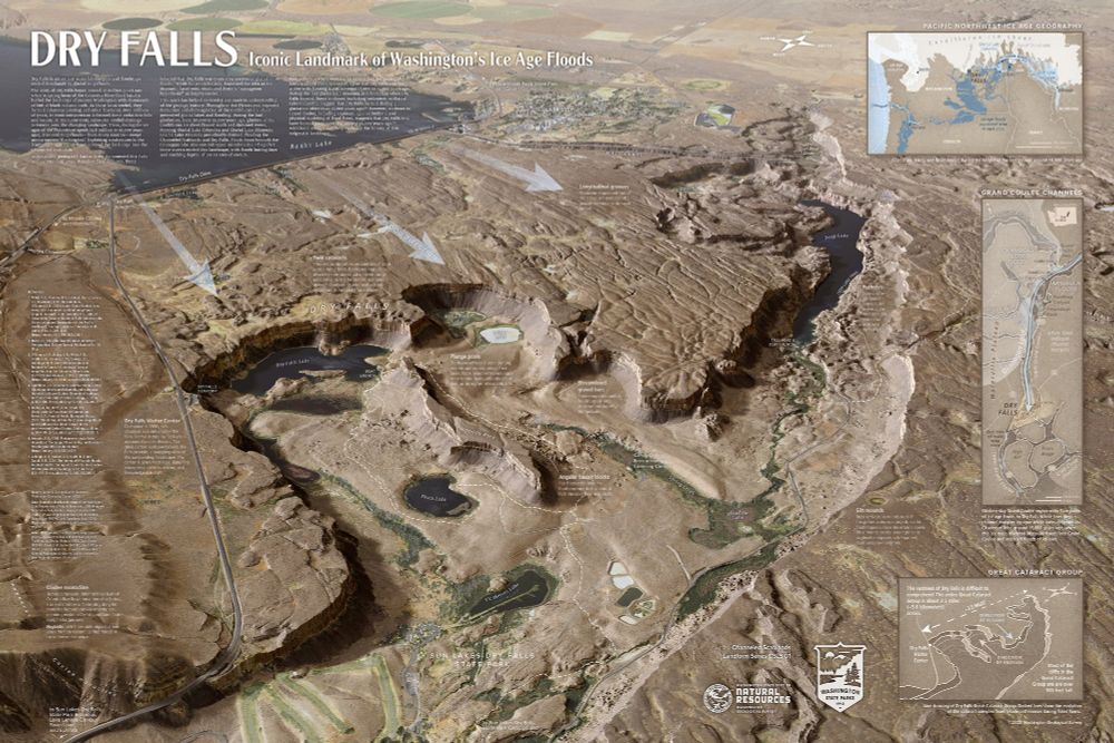
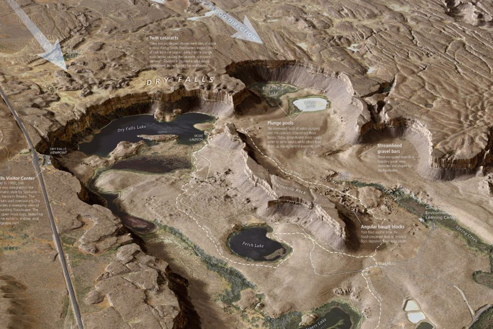
New, super-detailed Dry Falls interpretive map from the Washington Geological Survey. #iceagefloods #missoulafloods #channeledscablands #geomorphology washingtonstategeology.wordpress.com/2025/07/15/n...
July 23, 2025 at 4:26 AM
New, super-detailed Dry Falls interpretive map from the Washington Geological Survey. #iceagefloods #missoulafloods #channeledscablands #geomorphology washingtonstategeology.wordpress.com/2025/07/15/n...
Castle Mountain Fault scarp cutting across the Little Susitna River about 50km north of Anchorage, #Alaska. #lidar #geomorphology #faultscarp
January 19, 2025 at 8:01 AM
Castle Mountain Fault scarp cutting across the Little Susitna River about 50km north of Anchorage, #Alaska. #lidar #geomorphology #faultscarp
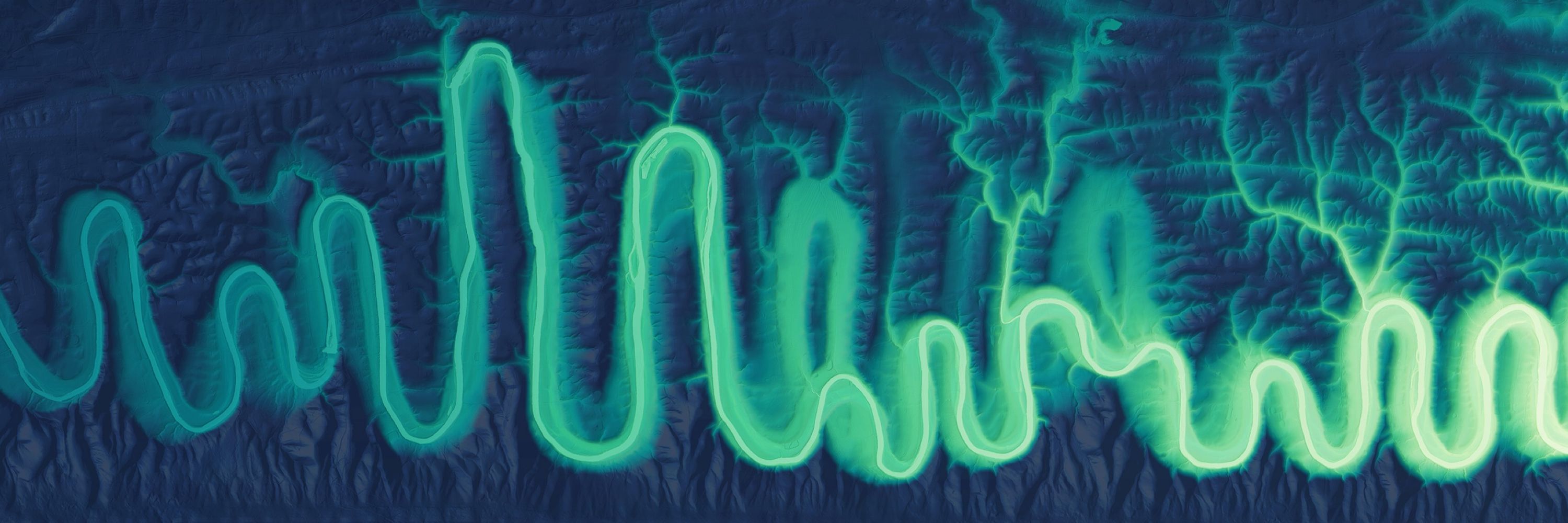
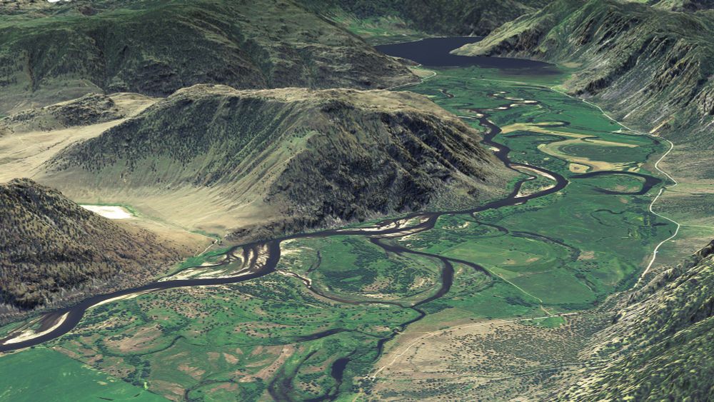
#Lidar relative elevation images and draped imagery of the Similkameen River #floodplain near the BC/WA border looking toward Little Chopaka Mtn and Palmer Lake. Made for the WA Geological Survey. #PNW #geography #geomorphology www.flickr.com/photos/wasta...
December 20, 2024 at 9:06 PM
#Lidar relative elevation images and draped imagery of the Similkameen River #floodplain near the BC/WA border looking toward Little Chopaka Mtn and Palmer Lake. Made for the WA Geological Survey. #PNW #geography #geomorphology www.flickr.com/photos/wasta...
New #lidar images of the #Enchantments for the Washington Geological Survey. #PNW #Maps #CascadeRange
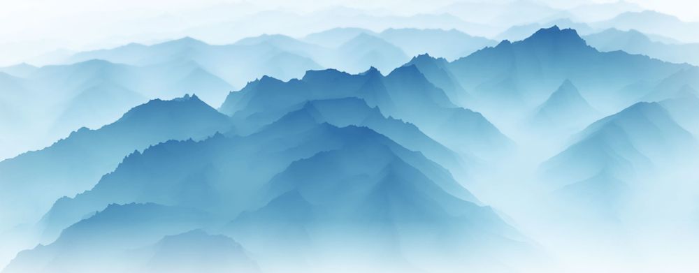
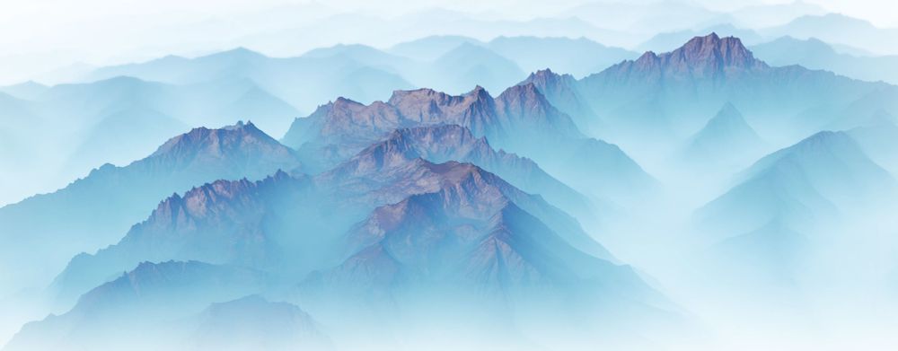
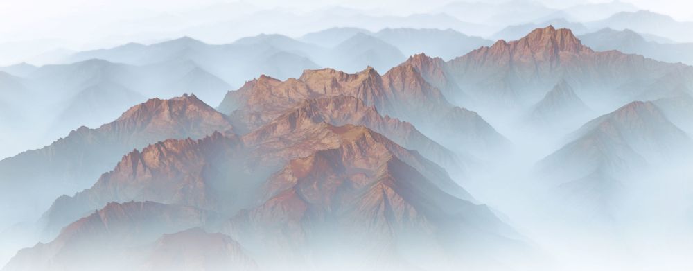
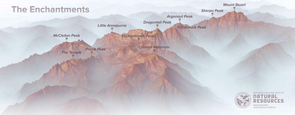
December 8, 2024 at 12:58 AM
New #lidar images of the #Enchantments for the Washington Geological Survey. #PNW #Maps #CascadeRange