
Benjamin Hennig
@geoviews.bsky.social
1.8K followers
92 following
110 posts
Geographer + accidental cartographer. Posting about geography, maps & more.
https://geoviews.net/
Posts
Media
Videos
Starter Packs

Reposted by Benjamin Hennig


Benjamin Hennig
@geoviews.bsky.social
· Jul 16

Benjamin Hennig
@geoviews.bsky.social
· Jul 16

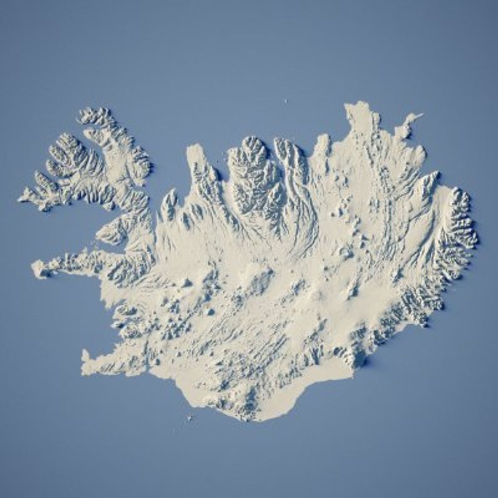
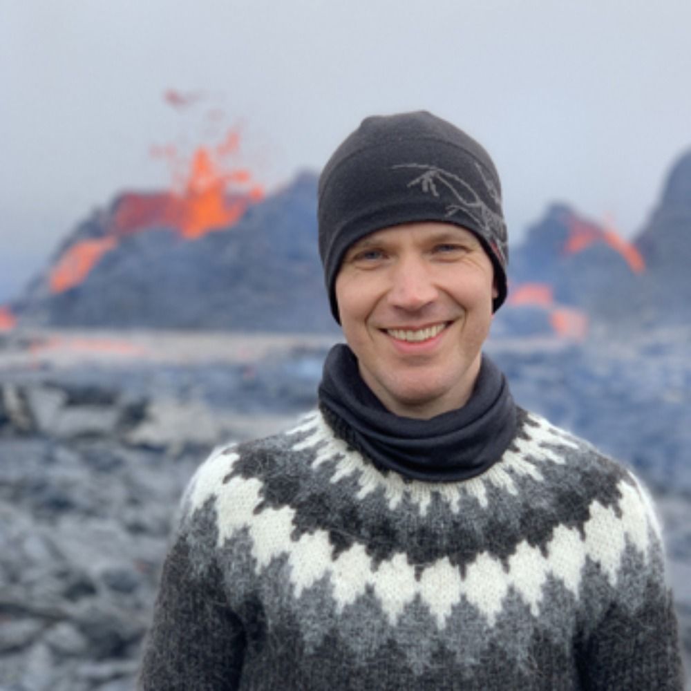
Eruption in Reykjanes peninsula — Awful air quality in Reykjanesbær - RÚV.is
Eruption started shortly before 04:00 am.Wave of seismic activity started around midnight, caused by magma intrusion.Grindavík is not in danger.Awful air quality in Reykjanesbær.
www.ruv.is


Benjamin Hennig
@geoviews.bsky.social
· Jul 12


