


Tereza Hüttnerová
@huttnerova.bsky.social
Postdoc at the Czech University of Life Sciences in Prague 🇨🇿
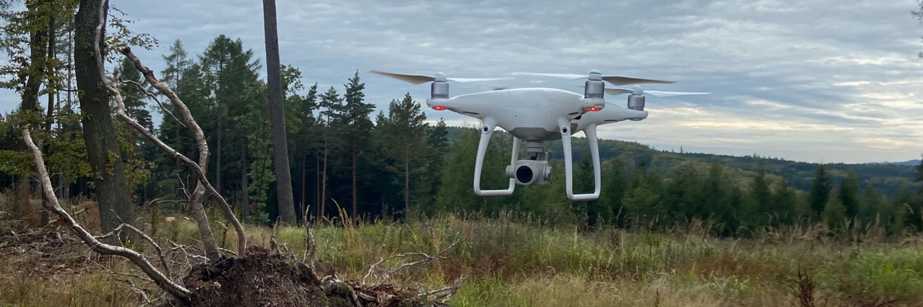
Focus on remote sensing and GIS in forestry, non-optical mapping 🌲✈️
Focus on remote sensing and GIS in forestry, non-optical mapping 🌲✈️
Remote sensing isn’t just for scientists! 🧑🔬 🛰️
This clip shows the dramatic transformation of the Aral Sea since 1984.
Tools like Google Earth Engine or satellite time-lapses allow anyone to explore how our planet is changing — from shrinking lakes to expanding cities.
This clip shows the dramatic transformation of the Aral Sea since 1984.
Tools like Google Earth Engine or satellite time-lapses allow anyone to explore how our planet is changing — from shrinking lakes to expanding cities.
April 15, 2025 at 8:49 PM
Remote sensing isn’t just for scientists! 🧑🔬 🛰️
This clip shows the dramatic transformation of the Aral Sea since 1984.
Tools like Google Earth Engine or satellite time-lapses allow anyone to explore how our planet is changing — from shrinking lakes to expanding cities.
This clip shows the dramatic transformation of the Aral Sea since 1984.
Tools like Google Earth Engine or satellite time-lapses allow anyone to explore how our planet is changing — from shrinking lakes to expanding cities.
🌸 Sakura blossoms here…
🌍 In Senegal, an entire lake blooms – all year round!
📍 Pink Lake Retba, colored by microorganisms 🦠
Remote sensing 🛰️
🌍 In Senegal, an entire lake blooms – all year round!
📍 Pink Lake Retba, colored by microorganisms 🦠
Remote sensing 🛰️

April 12, 2025 at 10:49 PM
🌸 Sakura blossoms here…
🌍 In Senegal, an entire lake blooms – all year round!
📍 Pink Lake Retba, colored by microorganisms 🦠
Remote sensing 🛰️
🌍 In Senegal, an entire lake blooms – all year round!
📍 Pink Lake Retba, colored by microorganisms 🦠
Remote sensing 🛰️