


Jon Wang (he/him)
@jonwang.bsky.social
Queer, Asian-American ecologist interested in global change. Wildfires, carbon, and land cover with remote sensing and machine learning. Leads the Dynamic Carbon and Ecosystems lab (www.dycelab.net) at the University of Utah.
Categories of fire severity (high vs low) are hard to interpret, and might miss climate trends. Remote sensing advances are revealing nuance across ecoregions (big expansion of fire in dense northern forests!). Hope this can improve wildfires observation, forest management, and ecosystem models! 6/7

November 17, 2024 at 8:31 PM
Categories of fire severity (high vs low) are hard to interpret, and might miss climate trends. Remote sensing advances are revealing nuance across ecoregions (big expansion of fire in dense northern forests!). Hope this can improve wildfires observation, forest management, and ecosystem models! 6/7
Using a simple model of regional tree loss using burned area, fire severity, and forest exposure, we show that 47% (nearly half!) of observed tree losses can be attributed to increasing trends in fire severity and forest exposure. Climate warming will exacerbate this. 5/7

November 17, 2024 at 8:31 PM
Using a simple model of regional tree loss using burned area, fire severity, and forest exposure, we show that 47% (nearly half!) of observed tree losses can be attributed to increasing trends in fire severity and forest exposure. Climate warming will exacerbate this. 5/7
Increased forest exposure suggests more dense forests are vulnerable to severe wildfire. In the last decade, wildfire moved in climate space, impacting forests adapted to moister, cooler environments that might have resisted disturbance. 4/7

November 17, 2024 at 8:31 PM
Increased forest exposure suggests more dense forests are vulnerable to severe wildfire. In the last decade, wildfire moved in climate space, impacting forests adapted to moister, cooler environments that might have resisted disturbance. 4/7
Average fire severity and forest exposure rose by 30% and 41%, respectively, from 1985-2021. The average tree cover loss per burned area used to be 20%, but recently it has been 34%, on average (+70%!). Increased burned area drives most tree loss, but is not the sole factor! 3/7

November 17, 2024 at 8:31 PM
Average fire severity and forest exposure rose by 30% and 41%, respectively, from 1985-2021. The average tree cover loss per burned area used to be 20%, but recently it has been 34%, on average (+70%!). Increased burned area drives most tree loss, but is not the sole factor! 3/7
Tree losses were concentrated in the hottest parts of the state. As summer temperatures continue to climb, even more of California's forests will be threatened by wildfire and climate stress. 4/n

November 16, 2024 at 9:33 AM
Tree losses were concentrated in the hottest parts of the state. As summer temperatures continue to climb, even more of California's forests will be threatened by wildfire and climate stress. 4/n
Tree cover dynamics (dark green line, top panel) varied widely geographically. Northern forests were impacted by harvest and recent fires, but recovered when it rained in the 90s. Rapidly warming southern forests might be losing their ability to recover from disturbance. 3/n

November 16, 2024 at 9:26 AM
Tree cover dynamics (dark green line, top panel) varied widely geographically. Northern forests were impacted by harvest and recent fires, but recovered when it rained in the 90s. Rapidly warming southern forests might be losing their ability to recover from disturbance. 3/n
Forests are key in natural climate solutions but are threatened by disturbances like fire, making their viability uncertain. Since 1985, forest growth in CA can't keep up with recent extreme wildfire seasons, resulting in a net loss of tree cover by 6.7%. 2/n

November 16, 2024 at 9:18 AM
Forests are key in natural climate solutions but are threatened by disturbances like fire, making their viability uncertain. Since 1985, forest growth in CA can't keep up with recent extreme wildfire seasons, resulting in a net loss of tree cover by 6.7%. 2/n
Hi friends. I am overjoyed to share I will soon move to SLC/@UUtah to join @UofUBiology as an assistant professor in January 2023!! I still can't believe how fortunate I am. Much love and gratitude to mentors, friends, and colleagues over the last decade+!

November 16, 2024 at 9:03 AM
Hi friends. I am overjoyed to share I will soon move to SLC/@UUtah to join @UofUBiology as an assistant professor in January 2023!! I still can't believe how fortunate I am. Much love and gratitude to mentors, friends, and colleagues over the last decade+!
Readyish for this interview.

November 16, 2024 at 10:07 AM
Readyish for this interview.
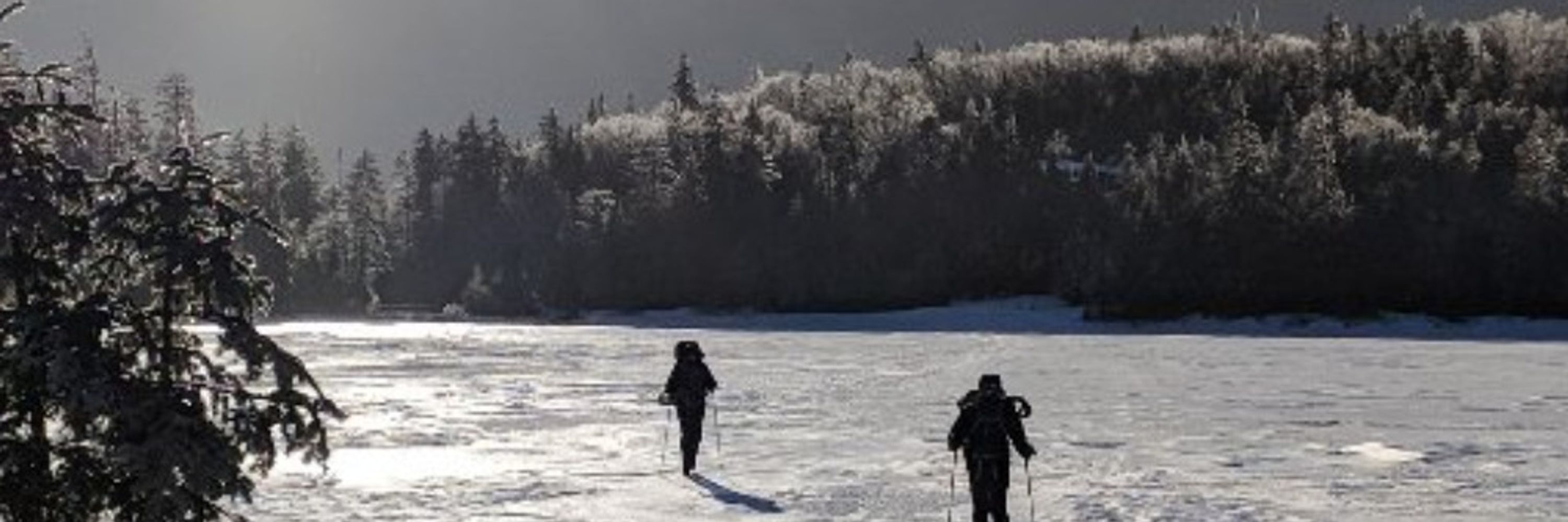
In 2017, I visited the Northwest Territory and was shocked by how these truly huge forests are changing, how extensive the fire scars were. They'll require effort to protect and I'm honored to contribute my own carbon monitoring efforts to their conservation! Thanks everyone!
8/8
8/8

November 16, 2024 at 11:11 AM
In 2017, I visited the Northwest Territory and was shocked by how these truly huge forests are changing, how extensive the fire scars were. They'll require effort to protect and I'm honored to contribute my own carbon monitoring efforts to their conservation! Thanks everyone!
8/8
8/8
Finally, we compared our results to predictions from CMIP6 Earth system models, overestimated AGB growth by a factor of 3 due to the poor representation of fires. The models with red outlines represent fire processes, and the black ones lack fire processes.
7/8
7/8

November 16, 2024 at 11:02 AM
Finally, we compared our results to predictions from CMIP6 Earth system models, overestimated AGB growth by a factor of 3 due to the poor representation of fires. The models with red outlines represent fire processes, and the black ones lack fire processes.
7/8
7/8
We calibrated a regrowth model using chronosequence-derived average rates of AGB gain and loss due to fires and estimated the changing influence of fires on the AGB dynamics over longer timescales. These factors are far more important than variability in climate and CO2
6/8
6/8


November 16, 2024 at 10:54 AM
We calibrated a regrowth model using chronosequence-derived average rates of AGB gain and loss due to fires and estimated the changing influence of fires on the AGB dynamics over longer timescales. These factors are far more important than variability in climate and CO2
6/8
6/8
Overall what we see is a modest net increase in AGB across the ABoVE domain. The dynamics of AGB growth, however, are heavily dominated by disturbances, and the net growth is cut by a third or so due to fires and harvest.
5/8
5/8

November 16, 2024 at 10:47 AM
Overall what we see is a modest net increase in AGB across the ABoVE domain. The dynamics of AGB growth, however, are heavily dominated by disturbances, and the net growth is cut by a third or so due to fires and harvest.
5/8
5/8
The long time series allowed us to track the dynamics of disturbance-driven losses and post-disturbance recovery on annual and decadal timescales. For example, here is a heavily harvested area in British Columbia. Apologies that the color scale changes!
4/8
4/8
November 16, 2024 at 10:39 AM
The long time series allowed us to track the dynamics of disturbance-driven losses and post-disturbance recovery on annual and decadal timescales. For example, here is a heavily harvested area in British Columbia. Apologies that the color scale changes!
4/8
4/8
The spatial detail allowed us to map the highly spatially heterogeneous distribution of boreal forest biomass across the 2.8 million km2 study domain. Shown are some examples of a fire-prone area (top row) and a heavily harvest area (bottom row)
3/8
3/8

November 16, 2024 at 10:31 AM
The spatial detail allowed us to map the highly spatially heterogeneous distribution of boreal forest biomass across the 2.8 million km2 study domain. Shown are some examples of a fire-prone area (top row) and a heavily harvest area (bottom row)
3/8
3/8
By combining @usgslandsat time series with spaceborne lidar from ICESat, we mapped stocks and changes in aboveground biomass to better understand how disturbances impact carbon budgets. We want to understand what "greening" means in the far north.
2/8
2/8

November 16, 2024 at 10:23 AM
By combining @usgslandsat time series with spaceborne lidar from ICESat, we mapped stocks and changes in aboveground biomass to better understand how disturbances impact carbon budgets. We want to understand what "greening" means in the far north.
2/8
2/8

Are you bready for this?

November 16, 2024 at 10:39 AM
Are you bready for this?
Summer reading.

November 16, 2024 at 11:11 AM
Summer reading.
Casualties of AGU: one fine seat post and saddle. I'm lucky that they left my rear light though!

November 16, 2024 at 11:34 AM
Casualties of AGU: one fine seat post and saddle. I'm lucky that they left my rear light though!
I already feel exhausted! Lucky for me my talk is early - Monday morning 8:45am, B11D-04, Moscone West 3001 L3. Come bright and early to learn about biomass in boreal forests! #AGU2019

November 16, 2024 at 11:50 AM
I already feel exhausted! Lucky for me my talk is early - Monday morning 8:45am, B11D-04, Moscone West 3001 L3. Come bright and early to learn about biomass in boreal forests! #AGU2019
Airport dinner: soda and chips

November 16, 2024 at 12:15 PM
Airport dinner: soda and chips