Kirk Scanlan
@kirkscanlan.bsky.social
29 followers
42 following
8 posts
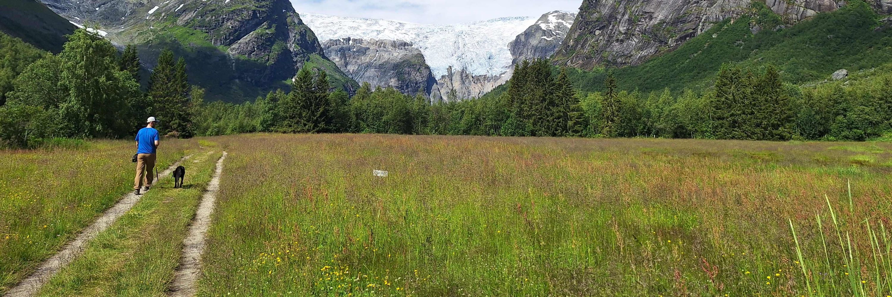
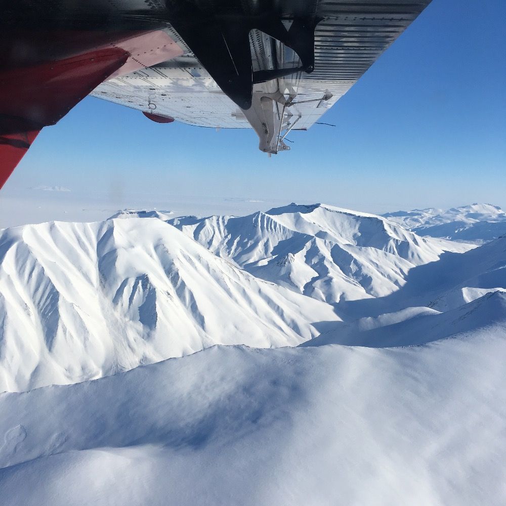
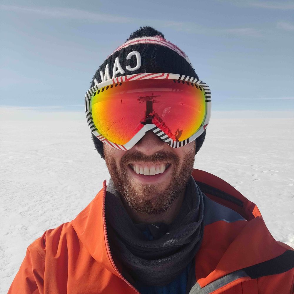
By day, using radar remote sensing to study icy surfaces at DTU Space. Rest of my time spent reading, walking my dog, hiking, running, camping, climbing, ice hockey, and board games. Views are my own.
Posts
Media
Videos
Starter Packs
Reposted by Kirk Scanlan


Kirk Scanlan
@kirkscanlan.bsky.social
· Aug 9


Kirk Scanlan
@kirkscanlan.bsky.social
· Aug 8
Kirk Scanlan
@kirkscanlan.bsky.social
· Aug 8
Kirk Scanlan
@kirkscanlan.bsky.social
· Aug 8

Novel insight into the spatiotemporal distribution of Greenland ice sheet surface densities from eleven years of satellite radar altimetry - Scientific Reports
Scientific Reports - Novel insight into the spatiotemporal distribution of Greenland ice sheet surface densities from eleven years of satellite radar altimetry
doi.org
Kirk Scanlan
@kirkscanlan.bsky.social
· Aug 8

Greenland Ice Sheet surface roughness from Ku- and Ka-band radar altimetry surface echo strengths
Abstract. Surface roughness is an important factor to consider when modelling mass changes at the Greenland Ice Sheet (GrIS) surface (i.e., surface mass balance, SMB). This is because it can have impo...
doi.org