Adrian Leyser Sturm
@leysersturm.bsky.social
690 followers 440 following 570 posts
Meteorologist👨‍🎓 
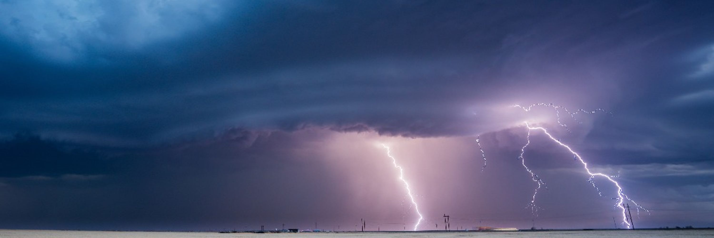
Storm Chaser & Photographer🌪📸 Forecaster & Radar/Tornado Expert @dwdderwetterdienst.bsky.social 📍Oberursel • Frankfurt/M.• Idar-Oberstein | Germany
Posts Media Videos Starter Packs
leysersturm.bsky.social
Bit confusing. Actually, an official naming should only occur if a sign. (storm) cyclone with considerable wind impact is expected. In rare cases, weaker (but clearly identifiable) lows have been named due to severe rain. In that case, I wonder if the low appears on surface weather maps at all. 🤔
leysersturm.bsky.social
Potentially dangerous hybrid storm for the Southeast/East US starting this weekend? Frontal zone/trough could interact constructively with (sub-)tropical disturbance. Also interaction with future Tropical Storm Jerry? (->steering/moisture transport!). But very uncertain due to its complexity!
leysersturm.bsky.social
During the week an omega blocking pattern will build up. It sets up quite far to the west, so that the large-scale circulation “ATR” (Altantic Ridge) is favored. This will bring calm weather to large parts of W/C-Europe and unsettled weather with heavy precipitation to the southeast and east.
500 hPa Mean Geopotential Height and Anomalies on 14 Oct, 00 UTC, forecastes by IFS-EPS. Weather regimes probabilities, sub-seasonal range forecast by IFS.
leysersturm.bsky.social
Updated #tornado statistics and illustrations from #Germany from our colleague @meteomabe.bsky.social.
meteomabe.bsky.social
Your probably all know the #tornado stripes for Germany that I have posted several times. Starting at 2000 since with a robust dataset from then on. It shows a clear maxium for the years surounding the recors year 2006. #showyourstripes 1/3
leysersturm.bsky.social
Something to monitor for the Caribbean: Invest #I95L has a high probability of cyclone formation within the next 48 hours. The models suggest that the system could become a #hurricane as it nears the Lesser Antilles in the next 3-4 days. #tropicalweather

www.polarwx.com/tropical/?st...
Ensemble tracks for Invest 95 L. Model forecast intensity of Invest 95 L.
leysersturm.bsky.social
Durch die Perspektive und den Schattenwurf sieht der Kondensstreifen vielleicht etwas ungewöhnlich aus. Aber es ist definitiv keine Trichterwolke. Dabei handelt es sich nämlich um den sichtbaren Teils eines etwaigen Tornados. Die dafür nötige Mutterwolke (Schauer-/Gewitterwolke) fehlt!
leysersturm.bsky.social
So ungewöhnlich ist das gar nicht. In den Morgen- und Abendstunden (weniger Verkehr) und bei sehr unterschiedlicher Luftfeuchte je Höhe (Bildung der Kondensstreifen stark abhängig von der Flughöhe) passiert das häufiger.
leysersturm.bsky.social
Nein. Weder sieht man hier eine Trichterwolke, noch eine tief hängende Gewitterwolke. Bei dem Wolkenstreifen handelt es sich ziemlich sicher um einen Kondensstreifen. Bitte korrigieren!
leysersturm.bsky.social
We live in a time when truth becomes satire and satire becomes truth.
mehdirhasan.bsky.social
Silly Jimmy Kimmel. He should have just called for all homeless people to be killed and he’d still have a job.
Reposted by Adrian Leyser Sturm
meteomabe.bsky.social
Maxima partly above 30 degree, potential for severe weather. That is sth that doesn't necessarily sound like beginning of the third decade of September. Maps look more like midsummer autumn.
leysersturm.bsky.social
Europe's #autumn visit: '#Zack' causes unstable, stormy conditions, especially in Central #Europe. But: #summer will arrive again at the weekend, including (extreme) high temperatures and storms. #weather #forecast #windstorm
Satellite image, wind gusts (> 8 Bft) and analysis, 16.09.2025, 11:30 CEST.
leysersturm.bsky.social
Wonderful example of a line oft storms within which several spin-ups (rapidly forming embedded mesocyclones) occur. This just happened in eastern Germany. The risk of tornadoes was increased.
#SevereWeather #Tornado #Supercell #Storms
Radar image (left: reflectivity, right: storm-relative winds) of a linie of storms in eastern Germany on 15 Sep (11:25 and 11.45 UTC).
leysersturm.bsky.social
Der Niederschlagswert von 134,0 l/m² in Bedburg ist zudem der größte jemals im September in Nordrhein-Westfalen gemessene Tagesniederschlag - und dieser fiel größtenteils in 6 Stunden!
leysersturm.bsky.social
An einigen Orten im Westen Deutschlands hat es an einem Septembertag noch nie so viel geregnet wie in den letzten 24 Stunden.

Stationen mit Datenreihen >50 Jahre

Winterspelt (seit 1951)
Berus (seit 1951)
Jülich (seit 1894)
Merzig (seit 1941)
Lauperath (seit 1953)
Manderscheid (seit 1962)
leysersturm.bsky.social
UPDATE: Official 12-hourly precipitation data, 09/09/25, 6 UTC. Highest amounts:

Bedburg (Germany) 134 mm
Luxembourg Airport 122 mm
Mönchengladbach (Germany) 122 mm
leysersturm.bsky.social
Extremely heavy rain in western Germany. North of the Eifel, in the greater Mönchengladbach area, 100-130 l/m² dropped in 6 hours. The highest warning level of the weather service is in force, and there is also a local threat of major flooding. #severeweather #floods
6-hourly rain amounts in W Germany until 4:50 UTC. Warnings and pre-warnings of the flood control centers.
leysersturm.bsky.social
The national weather services are now taking action in response to the threat and have raised their warnings to the second-highest level (France, Luxembourg, Germany). #severeweather #floods #heavyrain
leysersturm.bsky.social
Yes, I think we will see 100 l/m² locally. EML/convective -triggered rather over Lorraine (according to the latest ICON-D2), orographically in the northern Eifel region.
leysersturm.bsky.social
The main threat comes from convective intensification. In some places, significant instability is provided within the elevated mixed layer, leading to embedded thunderstorms. Additional orographic enhancement could thus cause extreme amounts of precipitation in small areas.
ICON-D2 model sounding für NE France on September 9th, 3 UTC.
leysersturm.bsky.social
A very humid air with an elevated mixed layer (EML), combined with strong synoptic forcing, leads to a hybrid (partly stratiform, partly convective) heavy rainfall event in NE France, W Germany and BeNeLux during the night of Tuesday and Tuesday morning. #SevereWeather #Floods
12-hour precipitation amounts until Tuesday (12 UTC), simulated by several models. 40-70 l/m² are likely, locally up to ~100 l/m², due to convective and orographic intensification.
leysersturm.bsky.social
If a #tornado forms, it can be strong and long-lived. The forecast soundings impressively show the extreme low-level shear (51 kn in 0-1 km) and helicity with rare values of SigTor >4. But instability remains critical, especially in the low troposphere/boundary layer. Image: @kachelmannwetter.com
ICON D2 model sounding for NO France/S Belgium, September 3th, 15 UTC.
leysersturm.bsky.social
There are increasing signs that a pot. severe convective situation could develop in Western Europe today. Supercells could develop in moderately unstable but extremely sheared subtropical air with increased #tornado risk in places. The focus appears to be on NE France, Belgium and the Netherlands.
My assessment of the tornado risk today.
leysersturm.bsky.social
"Der Sommer war ja ziemlich wechselhaft und kühl" - so oder so ähnlich hört man es häufig. Wechselhaft: Ja! Aber kühl?!
Vor dem Jahr 2000 hätte ein Sommer wie 2025 zu den heißesten überhaupt gehört! Ein Extremereignis, dass erst durch die Klimaerwärmung der letzten 25 Jahre quasi normalisiert wurde.
Mitteltemperatur der Sommer seit 1880.
leysersturm.bsky.social
Another I-D2 sounding with SIGTOR 2.2.