


Landscape Geoinformatics Lab
@lgeoinformatics.bsky.social
Our workgroup focuses on sustainable landscape planning and resource management using geospatial analysis, machine learning, and modeling. Lead by @evelynuuemaa
Reposted by Landscape Geoinformatics Lab

🌍 We're building a #datacube
@lgeoinformatics.bsky.social to integrate spatial data with varying resolutions.
Resampling is key for aligning datasets with different resolutions, coordinate systems, or extents.
Check out our quick cheat sheet for resampling tips!
Have any suggestions?💬
@lgeoinformatics.bsky.social to integrate spatial data with varying resolutions.
Resampling is key for aligning datasets with different resolutions, coordinate systems, or extents.
Check out our quick cheat sheet for resampling tips!
Have any suggestions?💬

January 29, 2025 at 11:39 AM
🌍 We're building a #datacube
@lgeoinformatics.bsky.social to integrate spatial data with varying resolutions.
Resampling is key for aligning datasets with different resolutions, coordinate systems, or extents.
Check out our quick cheat sheet for resampling tips!
Have any suggestions?💬
@lgeoinformatics.bsky.social to integrate spatial data with varying resolutions.
Resampling is key for aligning datasets with different resolutions, coordinate systems, or extents.
Check out our quick cheat sheet for resampling tips!
Have any suggestions?💬
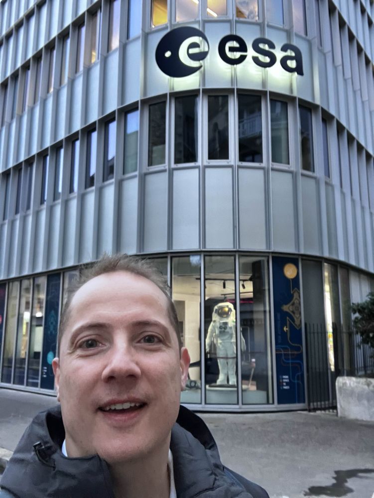
🌍 In our ERC funded WaterSmartLand (water-smart-land.eu) project, we’re building an environmental datacube using DGGS tech.
On Tuesday, @allixender.bsky.social visited #ESA HQ in Paris 🇫🇷 to discuss DGGS and share insights with science and technology staff. 🤝
On Tuesday, @allixender.bsky.social visited #ESA HQ in Paris 🇫🇷 to discuss DGGS and share insights with science and technology staff. 🤝
December 20, 2024 at 9:24 AM
🌍 In our ERC funded WaterSmartLand (water-smart-land.eu) project, we’re building an environmental datacube using DGGS tech.
On Tuesday, @allixender.bsky.social visited #ESA HQ in Paris 🇫🇷 to discuss DGGS and share insights with science and technology staff. 🤝
On Tuesday, @allixender.bsky.social visited #ESA HQ in Paris 🇫🇷 to discuss DGGS and share insights with science and technology staff. 🤝