Noah Dasanaike
@noahdasanaike.bsky.social
87 followers
78 following
12 posts
Harvard Government PhD candidate, interested in structural origins of political outcomes.
Posts
Media
Videos
Starter Packs
Pinned


Reposted by Noah Dasanaike
Noah Dasanaike
@noahdasanaike.bsky.social
· Feb 14

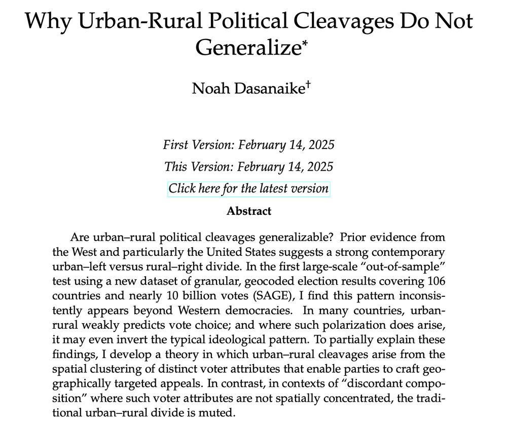
Release Notification: Small-Area Global Elections (SAGE) archive
Sign up to receive email notification of when SAGE is released alongside the corresponding paper, Why Urban-Rural Political Cleavages Do Not Generalize (working paper found here, with country-by-count...
shorturl.at
Noah Dasanaike
@noahdasanaike.bsky.social
· Feb 14
Noah Dasanaike
@noahdasanaike.bsky.social
· Feb 14

Noah Dasanaike
@noahdasanaike.bsky.social
· Feb 14
Noah Dasanaike
@noahdasanaike.bsky.social
· Feb 14
Noah Dasanaike
@noahdasanaike.bsky.social
· Feb 14