OpenTopography
@opentopography.org
540 followers 140 following 66 posts
Open access to high-resolution, Earth science-oriented topography data, and related tools & resources. US National Science Foundation supported. #lidar https://www.opentopography.org
Posts Media Videos Starter Packs
Pinned
opentopography.org
New September 2025 data releases on OpenTopography include Land Information New Zealand (LINZ) lidar over the North Island of New Zealand, SfM topography over the 2019 Ridgecrest rupture, NOAA coastal lidar additions, and additional USGS 3DEP data.

opentopography.org/news/septemb...
3D point cloud of intensity of a glacier near Kachemak Bay, Alaska. Data Source: NOAA: 2024 NOAA Lidar: AK Coastal Communities (Kachemak Bay). Colorized hillshade of Quinhagak, Alaska. Data Source: NOAA: 2024 NOAA Lidar: AK Coastal Communities (Eek, Goodnews Bay, Nelson Lagoon, Quinhagak, Togiak). Colored hillshade covering a portion of the 2019 M7.1 Ridgecrest earthquake surface rupture in California (red is higher elevation, grey is lower elevation). Data Source: CDS: High-Res SfM Topography of a Portion of the 2019 M7.1 Ridgecrest Rupture. Colorized hillshade of the USGS 1m DTM data over Dayton, Ohio. Note this dataset is a hydro-flattened digital terrain model, so it has buildings, bridges, and overpasses removed. Data Source: USGS: USGS 1 meter Digital Elevation Model.
Reposted by OpenTopography
forestsat.bsky.social
🌲 Join us at ForestSAT 2026! 🌍
📅 May 4–8, 2026 | Hybrid – Attend in-person or online
📧 Questions? Reach out at [email protected]
Discover the benefits of attending: carlos-alberto-silva.github.io/silvalab/For...
opentopography.org
This video is part of a new series from OpenTopography aimed at expanding community engagement. The series explores what we can learn about Earth’s surface, geologic processes, and natural hazards from remote sensing data like lidar.
opentopography.org
Coastlines in Crisis

Coastal areas like the Outer Banks of North Carolina are shrinking. What can we learn and see from lidar data?
opentopography.org
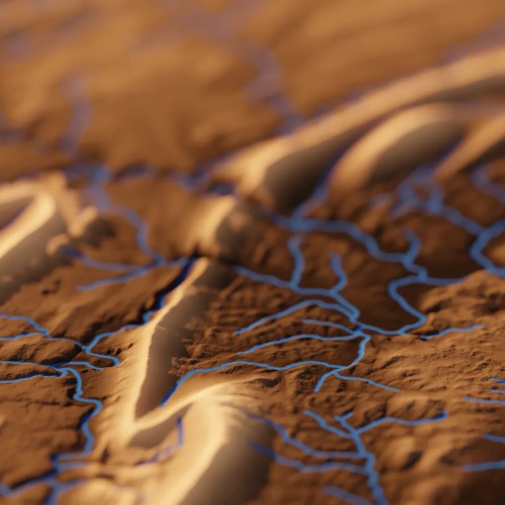
Check out TopoRivBlender, a new tool to create custom 3D images of topography and hydrography. Uses Blender and the OpenTopography API to produce 3D visualizations for data around the world.

More info:
waterdata.usgs.gov/blog/topo-ri...
github.com/DOI-USGS/top...
3D visualization of Kings Peak in Northeast Utah, USA A rendered 3D image of topography and hydrography in Upper Juniata in Central Pennsylvania (HUC: 02050302) using a perspective viewpoint. 3D visualization of the Columbia River in Oregon and Washington, USA. 3D visualization of the Colorado River in Southern Utah, USA
opentopography.org
Learn more about the 1m resolution Canadian HRDEM and access via OpenTopography here: opentopography.org/news/opentop...
opentopography.org
Missed last week's AGU EPSP Connects Virtual Science Talk by OpenTopography's Chelsea Scott and Cassandra Brigham? Check out the recording!
⬇️
www.youtube.com/live/WJHPdyv...

Topographic change with OpenTopography: Adventures in cloud computing, spatial uncertainty, and impactful applications
AGU EPSP Connects - September 2025
Topographic change with OpenTopography: Adventures in cloud computing, spatial uncertainty, and impactful applications
www.youtube.com
opentopography.org
Great, happy to hear it. There are more videos planned!
opentopography.org
Congratulations to EarthScope!

In addition to operating the NSF's National Geophysical Facility (NGF), the EarthScope Consortium is one of three institutions who run OpenTopography (along with the San Diego Supercomputer Center at University of California, San Diego and Arizona State University).
earthscope.org
In June 2024, EarthScope Consortium submitted a proposal to the National Science Foundation to operate the National Geophysical Facility (NGF). We are thrilled to announce that EarthScope has been selected as the operator of NSF NGF.

➡️ https://loom.ly/gfaXxQ8
Graphic announcing EarthScope Consortium as operator of the NSF National Geophysical Facility
opentopography.org
Join OpenTopography's Chelsea Scott and Cassandra Brigham for an AGU EPSP Connects Virtual Science Talk on cloud computing, spatial uncertainty, and impactful applications of topographic change on September 17, 2025 at 11 am ET (8 am PT).

Register to attend: tinyurl.com/sep17epsptalk
Graphic advertising talk "Topographic change with OpenTopography: Adventures in cloud computing, spatial uncertainty, and impactful applications" by Prof. Chelsea Scott and Dr. Cassandra Brigham
opentopography.org
This video is part of a new series from OpenTopography aimed at expanding community engagement. The series explores what we can learn about Earth’s surface, geologic processes, and natural hazards from remote sensing data like lidar.
opentopography.org
The stunning sandstone peaks of the Zhangjiajie National Forest Park in China inspired the floating mountains in the movie Avatar, but how did the real-life versions form?
opentopography.org
OpenTopography datasets have been chosen for the NSF's National Artificial Intelligence Research Resource (NAIRR) Pilot Program, aiming to provide access to high-quality datasets that support the advancement of AI literacy, education, and innovation.

Read more ⬇️
opentopography.org/news/nsf-nairr
Credit: U.S. National Science Foundation (NSF). Graphic showcasing researchers in hardhats, with binary code and other computing elements in the background.
opentopography.org
August's new data releases on OpenTopography include additional USGS 3DEP 1m raster updates (available to academics and OT+ subscribers), and UAV data from landslide reconnaissance monitoring in Utah.

Access the data: opentopography.org/news/august-...
Hillshade of the ZigZag Landslide near Snow Basin Road (UT-226), Morgan County, Utah. Colored hillshade of Mt Jefferson, Oregon. Data Hillshade of a section of the Carizzo Plain in California with the San Andreas fault zones plotted in red.
Reposted by OpenTopography
clashgeohazards.bsky.social
🎉 It’s official! Today, we announce the launch of CLaSH: Center for Land Surface Hazards an NSF supported initiative to advance the science of cascading geohazards to enable a resilient society.

Follow along as we share updates, opportunities, research, and collaborations! 🌎✨ #CLaSH #NSF
opentopography.org
This video is part of a new series from OpenTopography aimed at expanding community engagement. The series explores what we can learn about Earth’s surface, geologic processes, and natural hazards from remote sensing data like lidar.
opentopography.org
The Martian Mega-Volcano

The tallest volcano on Earth, Hawaii's Mauna Kea, pales in comparison to Olympus Mons on Mars, the largest volcano in the solar system. See what we can learn by studying the topography of planetary bodies.
opentopography.org
A number of new topographic datasets are now available on OpenTopography. July dataset additions include the High Resolution Digital Elevation Model of Canada, NOAA coastal lidar of the Indiana coastline, and new LINZ lidar over New Zealand.

opentopography.org/news/july-20...
Digital Terrain Model centered on Mount Royal Park in Montreal, Quebec. Imagery draped on hillshade of topography of Fox Glacier in the Southern alps. 3D point cloud colored by elevation of the Ogden Sand Dunes on the southern shore of Lake Michigan. Digital Terrain Model (DTM) of a volcanic cone in Rangitoto Island Scenic Reserve, New Zealand.
Reposted by OpenTopography
moreorloess.bsky.social
Box Elder Canyon and Bignell Table, in the loess canyons of western Nebraska, with shadows moving across the landscape as they would on August 9. Uses sun position calculated by {suntools} R package. Visualized with #rayshader. DEM via @opentopography.org
opentopography.org
This video is part of a new series from OpenTopography aimed at expanding community engagement. The series explores what we can learn about Earth’s surface, geologic processes, and natural hazards from remote sensing data like lidar.
opentopography.org
How do you end up with desert dunes next to a wetland? The Potholes Reservoir explained.
opentopography.org
This video is part of a new series from OpenTopography aimed at expanding community engagement. The series explores what we can learn about Earth’s surface, geologic processes, and natural hazards from remote sensing data like lidar.
opentopography.org
The Mystery of the Missoula Megafloods

What can we learn from the topography of the Pacific Northwest?