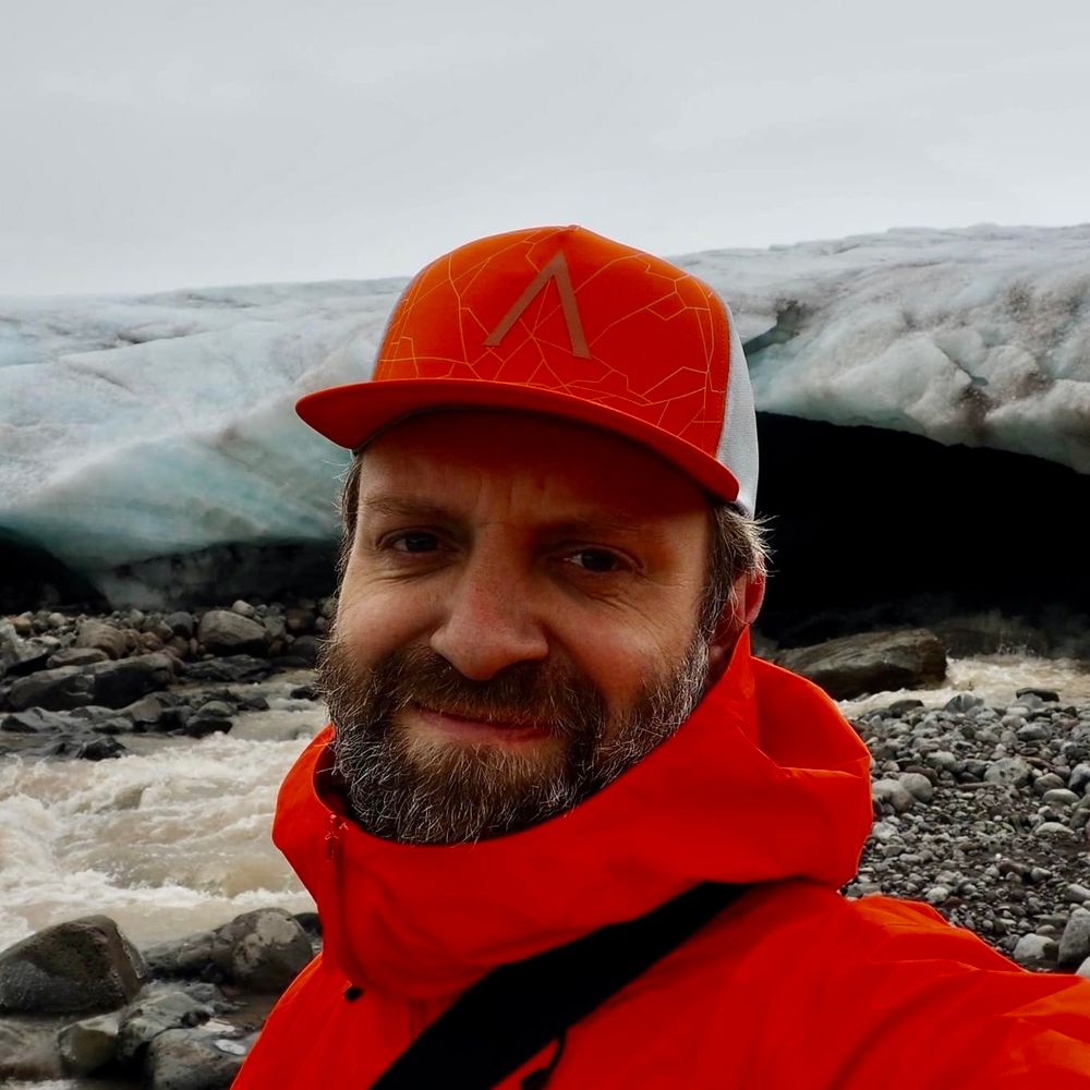
Ragnar Heiðar Þrastarson
@ragnarheidar.bsky.social
450 followers
220 following
46 posts
Mapmaker, mountaineer and GIS Coordinator of the Icelandic Met Office. Open Source Geospatial all the way!
Currently sponsoring:
QGIS | OSGeo | Even Rouault
Posts
Media
Videos
Starter Packs