


Rob’s Obs
@robsobs.bsky.social
Retired Environment Canada meteorologist. Niagara region, Canada
Dramatic push of ice cover on Lake Erie due to strong NW winds last night into this morning. MODIS satellite imagery today (Feb 7) vs 3 days ago (Feb 4)


February 7, 2026 at 5:38 PM
Dramatic push of ice cover on Lake Erie due to strong NW winds last night into this morning. MODIS satellite imagery today (Feb 7) vs 3 days ago (Feb 4)
A record high of 18.0C in Calgary AB today, beats previous record for Feb 5th of 17.4C in 1984. It’s the earliest in the year they’ve ever hit 18.0C or more (previous earliest date was Feb 12 1934) and ranks as Calgary’s 8th warmest February day on record (data since 1885)

February 6, 2026 at 12:58 AM
A record high of 18.0C in Calgary AB today, beats previous record for Feb 5th of 17.4C in 1984. It’s the earliest in the year they’ve ever hit 18.0C or more (previous earliest date was Feb 12 1934) and ranks as Calgary’s 8th warmest February day on record (data since 1885)
A fine looking early February day in southern AB. Already 15C as of 10:40 am with beautiful blue skies, and a gusty southwest wind. Heading up to a record 20C this afternoon.

February 5, 2026 at 6:03 PM
A fine looking early February day in southern AB. Already 15C as of 10:40 am with beautiful blue skies, and a gusty southwest wind. Heading up to a record 20C this afternoon.
Canadian snowbirds don't have to head to Florida for warmth this winter.. head to southern Alberta instead! Temperatures expected to hit the 20C mark today in south AB while Florida struggles in the low to mid teens this aftn. A good example of the warm west/cold east pattern we've been having

February 5, 2026 at 2:30 PM
Canadian snowbirds don't have to head to Florida for warmth this winter.. head to southern Alberta instead! Temperatures expected to hit the 20C mark today in south AB while Florida struggles in the low to mid teens this aftn. A good example of the warm west/cold east pattern we've been having
Incredibly mild early February day in southern AB. Several sites hit the 20C mark, including Lethbridge with a record high of 20.6C, 2nd warmest Feb temp on record there (21.8C on Feb 27 1992) Hot spot was Hays at 21.3C. Calgary tied a daily record high for Feb 4th at 16.2C (tied with 1992)


February 5, 2026 at 1:29 AM
Incredibly mild early February day in southern AB. Several sites hit the 20C mark, including Lethbridge with a record high of 20.6C, 2nd warmest Feb temp on record there (21.8C on Feb 27 1992) Hot spot was Hays at 21.3C. Calgary tied a daily record high for Feb 4th at 16.2C (tied with 1992)
All time hottest September temperature for Canada set today at Ashcroft BC with a sizzling 40.8C. Beats previous record of 40.0C set in Morden MB (Sep 1906), Lost River SK (Sep 1940) and Lytton BC (Sep 2025) (TWN graphic)

September 4, 2025 at 2:23 AM
All time hottest September temperature for Canada set today at Ashcroft BC with a sizzling 40.8C. Beats previous record of 40.0C set in Morden MB (Sep 1906), Lost River SK (Sep 1940) and Lytton BC (Sep 2025) (TWN graphic)
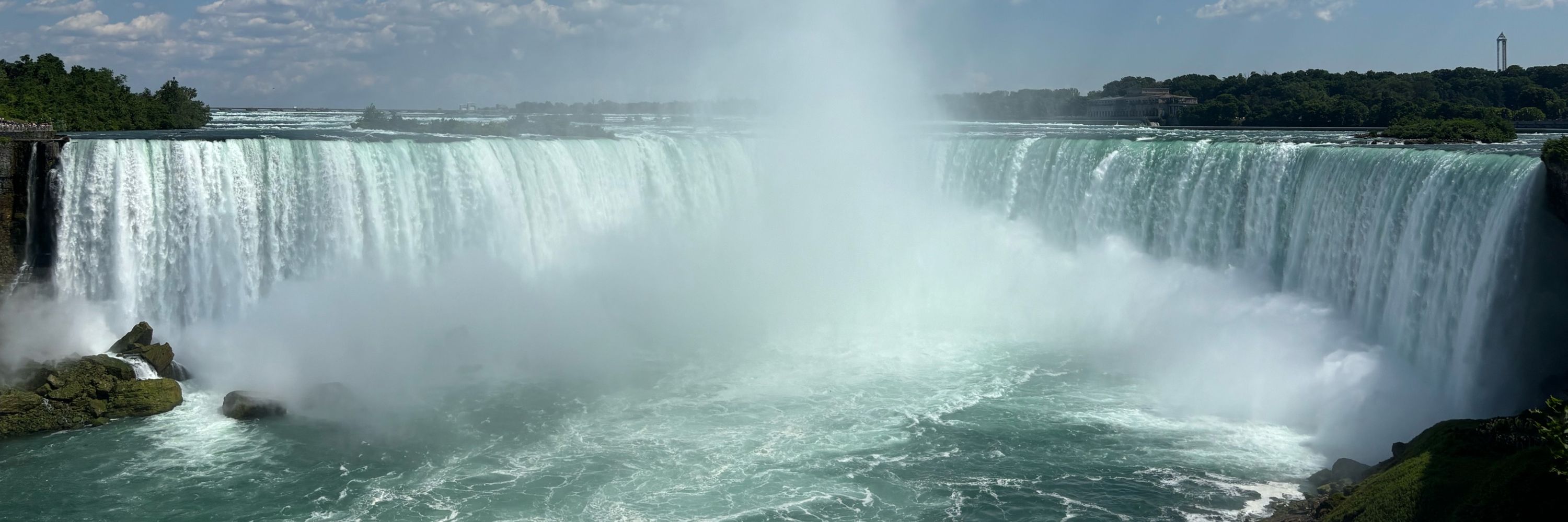
Areas of heavier rainfall across Niagara over past 24 hours brought 25-50 mm over localized areas. Otherwise only 5-10 mm between heavier bands with less than 5 mm west of Grimsby.


July 1, 2025 at 11:28 AM
Areas of heavier rainfall across Niagara over past 24 hours brought 25-50 mm over localized areas. Otherwise only 5-10 mm between heavier bands with less than 5 mm west of Grimsby.
One lone band of cumulus clouds over Niagara nicely marks convergent zone between Lake Erie and Lake Ontario lake breezes this afternoon

June 28, 2025 at 8:06 PM
One lone band of cumulus clouds over Niagara nicely marks convergent zone between Lake Erie and Lake Ontario lake breezes this afternoon
CoCoRaHS report from Morriston ON, east of Cambridge.. 90 mm of rain last night in less than 90 minutes

June 28, 2025 at 12:15 PM
CoCoRaHS report from Morriston ON, east of Cambridge.. 90 mm of rain last night in less than 90 minutes
Quite the soaker through the Cambridge area last night.. upwards of 75-100 mm of rain reported, much of it falling between 10 pm and 1 am.


June 28, 2025 at 11:45 AM
Quite the soaker through the Cambridge area last night.. upwards of 75-100 mm of rain reported, much of it falling between 10 pm and 1 am.
Area of showers over Lake Ontario will clip north St Catharines into NOTL over the next hour. Heads up if your boating in this area for some gusty showers moving in.

June 26, 2025 at 4:43 PM
Area of showers over Lake Ontario will clip north St Catharines into NOTL over the next hour. Heads up if your boating in this area for some gusty showers moving in.
Quite the soaker across parts of Niagara this morning. Heavier cells early this morning gave 30-50 mm of rain through the Niagara Falls-Chippawa area in just over an hour. (Radar image from 530 am)


June 26, 2025 at 11:41 AM
Quite the soaker across parts of Niagara this morning. Heavier cells early this morning gave 30-50 mm of rain through the Niagara Falls-Chippawa area in just over an hour. (Radar image from 530 am)
33-36C temps over much of Niagara this afternoon.. except 28C near Lake Erie. Last day of the really hot stuff before less oppressive conditions Wednesday


June 24, 2025 at 7:29 PM
33-36C temps over much of Niagara this afternoon.. except 28C near Lake Erie. Last day of the really hot stuff before less oppressive conditions Wednesday
One more day of oppressive heat and humidity over Niagara today with highs of 35C over north Niagara to 28C near Lake Erie. A slight chance of showers or thunderstorms later today into tonight then not as hot Wednesday

June 24, 2025 at 11:21 AM
One more day of oppressive heat and humidity over Niagara today with highs of 35C over north Niagara to 28C near Lake Erie. A slight chance of showers or thunderstorms later today into tonight then not as hot Wednesday
St Catharines already up to 29C as of 9 am. Likely hitting a record high 35C this afternoon. Recall that two days ago Env Canada was forecasting a *high* of only 27C for St Catharines for today. Faulty forecast algorithm leading to poor temperature forecasts in Niagara.


June 23, 2025 at 1:43 PM
St Catharines already up to 29C as of 9 am. Likely hitting a record high 35C this afternoon. Recall that two days ago Env Canada was forecasting a *high* of only 27C for St Catharines for today. Faulty forecast algorithm leading to poor temperature forecasts in Niagara.
Lake Erie lake breeze has pushed up into northern Niagara as of 2 pm marked by edge of CU field. That has stabilized temperatures in the 27-30C range over south Niagara while 32-35C heat continues over north Niagara

June 22, 2025 at 6:34 PM
Lake Erie lake breeze has pushed up into northern Niagara as of 2 pm marked by edge of CU field. That has stabilized temperatures in the 27-30C range over south Niagara while 32-35C heat continues over north Niagara
Env Canada drastically underforecasting max temps for Niagara especially Monday and Tuesday. Actual highs will be some 8C above current forecast highs. I suspect this will be adjusted on subsequent forecasts..

June 21, 2025 at 9:15 PM
Env Canada drastically underforecasting max temps for Niagara especially Monday and Tuesday. Actual highs will be some 8C above current forecast highs. I suspect this will be adjusted on subsequent forecasts..
My forecast highs across Niagara Sunday through Tuesday. Hottest temps will across northern Niagara with highs of 33-36C each day. A bit cooler over south Niagara with SW flow off Lake Erie giving temps of 27-32C. Humidex values of 35-45C each day. Stay cool!

June 21, 2025 at 8:58 PM
My forecast highs across Niagara Sunday through Tuesday. Hottest temps will across northern Niagara with highs of 33-36C each day. A bit cooler over south Niagara with SW flow off Lake Erie giving temps of 27-32C. Humidex values of 35-45C each day. Stay cool!
Oddly, Env Canada drops forecast highs for Niagara on Mon/Tue to 26-27C after issuing heat warning for highs of 31-36C through Tuesday. Very inconsistent messaging there.. 🤔🤷🏼♂️

June 21, 2025 at 4:50 PM
Oddly, Env Canada drops forecast highs for Niagara on Mon/Tue to 26-27C after issuing heat warning for highs of 31-36C through Tuesday. Very inconsistent messaging there.. 🤔🤷🏼♂️
Quite the heatwave coming up for Niagara and GTA. Highs of 32-35C Sunday-Tuesday with peak humidex values in the 40-45C range. Likely hottest stretch of June weather in Niagara since June 2012.

June 21, 2025 at 4:46 PM
Quite the heatwave coming up for Niagara and GTA. Highs of 32-35C Sunday-Tuesday with peak humidex values in the 40-45C range. Likely hottest stretch of June weather in Niagara since June 2012.
Rainfall accumulation map based on personal weather station observations in St Catharines area. Most of this fell between 2 and 330 pm.

June 18, 2025 at 7:50 PM
Rainfall accumulation map based on personal weather station observations in St Catharines area. Most of this fell between 2 and 330 pm.
Quite the deluge over St Catharines over the past hour. Generally 25-50 mm over central and northern parts of the city.. much less to the south

June 18, 2025 at 7:11 PM
Quite the deluge over St Catharines over the past hour. Generally 25-50 mm over central and northern parts of the city.. much less to the south
Rain has finally ended in Niagara after 2 straight days of steady rainfall. 2 day totals of 40-70 mm across Niagara, Hamilton and Haldimand areas. #ONstorm

May 23, 2025 at 11:44 AM
Rain has finally ended in Niagara after 2 straight days of steady rainfall. 2 day totals of 40-70 mm across Niagara, Hamilton and Haldimand areas. #ONstorm
UPDATED rainfall totals across Niagara, Hamilton and Haldimand areas as of 5 pm May 22, since yesterday. Generally 30-60 mm of rain has fallen across the area.. heaviest amounts over west Niagara, Hamilton and Haldimand areas where 50-70 mm of rain has been reported. Creeks running high and fast.

May 22, 2025 at 9:36 PM
UPDATED rainfall totals across Niagara, Hamilton and Haldimand areas as of 5 pm May 22, since yesterday. Generally 30-60 mm of rain has fallen across the area.. heaviest amounts over west Niagara, Hamilton and Haldimand areas where 50-70 mm of rain has been reported. Creeks running high and fast.
MRMS radar accumulation product estimates over 70 mm of rain has fallen since yesterday in downtown Hamilton.. corroborated by personal weather sites in the area. Likely some flooding issues there..

May 22, 2025 at 6:28 PM
MRMS radar accumulation product estimates over 70 mm of rain has fallen since yesterday in downtown Hamilton.. corroborated by personal weather sites in the area. Likely some flooding issues there..