


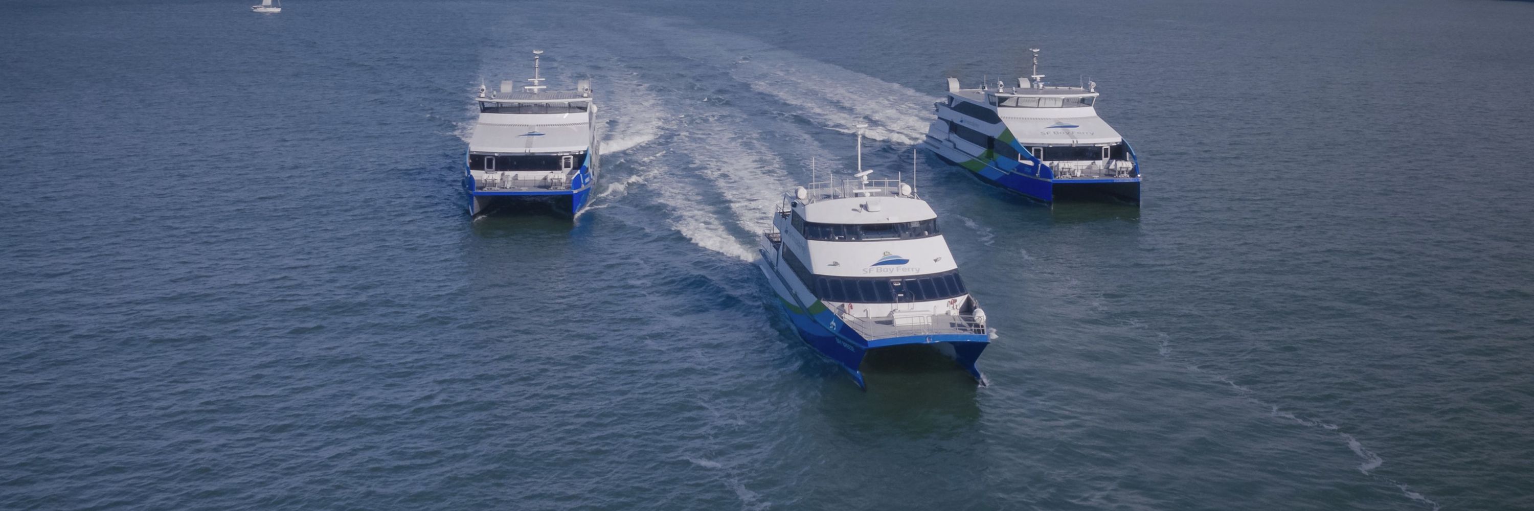
SF Bay Ferry
@sfbayferry.com
The best way to cross the Bay. sanfranciscobayferry.com
We do feel that despite the slower speed during that area, the Richmond ferry route is quite serious based on high and growing ridership and preferable transit times compared to other modes.
January 20, 2026 at 8:54 PM
We do feel that despite the slower speed during that area, the Richmond ferry route is quite serious based on high and growing ridership and preferable transit times compared to other modes.
Thanks for the support. We have slow zones on most of our routes to avoid negatively impacting ecosystems and communities. The approved ferry channel, which meets depth and wake requirements, travels west of Brooks. Most other vessels do the same.
January 20, 2026 at 8:53 PM
Thanks for the support. We have slow zones on most of our routes to avoid negatively impacting ecosystems and communities. The approved ferry channel, which meets depth and wake requirements, travels west of Brooks. Most other vessels do the same.
We don't run Larkspur/Sausalito but there have been speedruns on our past free Clean Air Days. No official record tracking unlike BART; based on past efforts, all nine weekday terminals in our system with minimal biking/walking can be done in about 7 hours. South S.F. and Mare Island are tricky.
December 15, 2025 at 4:31 PM
We don't run Larkspur/Sausalito but there have been speedruns on our past free Clean Air Days. No official record tracking unlike BART; based on past efforts, all nine weekday terminals in our system with minimal biking/walking can be done in about 7 hours. South S.F. and Mare Island are tricky.
App-based transit maps are legally allowed to show ferry routes? And not as tiny dotted lines? That's wild.
December 2, 2025 at 11:36 PM
App-based transit maps are legally allowed to show ferry routes? And not as tiny dotted lines? That's wild.
Thank you for riding and sharing these beautiful photos!
September 23, 2025 at 4:48 PM
Thank you for riding and sharing these beautiful photos!
Agreed on the case for more funding for all transit modes. The pie needs to grow.
September 5, 2025 at 10:52 PM
Agreed on the case for more funding for all transit modes. The pie needs to grow.
We agree that BART is very efficient in this context! No argument there. What we object to is using cost-per-trip figures that make the ferry look much less efficient than other transit modes by ignoring that ferries typically take people much longer distances. The same applies to commuter rail.
September 5, 2025 at 9:34 PM
We agree that BART is very efficient in this context! No argument there. What we object to is using cost-per-trip figures that make the ferry look much less efficient than other transit modes by ignoring that ferries typically take people much longer distances. The same applies to commuter rail.
When you compare by cost per passenger mile, our system is one of the most efficient in the region. The metric you're using puts a 28-mile ferry ride from Vallejo to S.F. in the same bucket as a 2-mile bus ride.
September 5, 2025 at 5:14 PM
When you compare by cost per passenger mile, our system is one of the most efficient in the region. The metric you're using puts a 28-mile ferry ride from Vallejo to S.F. in the same bucket as a 2-mile bus ride.