Stamen Design
@stamen.com
560 followers
50 following
45 posts
We are a data visualization and cartography studio with over 20 years of experience helping people find and tell more beautiful stories with data. Learn more at stamen.com
Mastodon: vis.social/@stamen
Posts
Media
Videos
Starter Packs


Reposted by Stamen Design


Stamen Design
@stamen.com
· Jul 8


Stamen Design
@stamen.com
· Nov 1

Maps and visualizations we’re keeping an eye on for Election Day, Part 3: Down-ballot races and electoral math | Stamen
Welcome to the third and final part of our series on maps and data visualizations in advance of the 2024 U.S. General Election (if you’re just catching up, here are parts one and two). Today, we’ll cl...
stamen.com
Stamen Design
@stamen.com
· Oct 31

Maps and visualizations we’re keeping an eye on for Election Day, Part 2: Indicators | Stamen
Welcome to part two of our series on maps and data visualizations in advance of the 2024 U.S. General Election (if you missed it, here’s part one on polling). Today, we’re discussing other indicators ...
stamen.com
Stamen Design
@stamen.com
· Oct 30

Maps and visualizations we’re keeping an eye on for Election Day, Part 1: Polling | Stamen
This is a perfect encapsulation of how we’re all feeling: unsettled. The presidential race has been neck-and-neck for months, even before President Biden decided to step off the ticket back in July. A...
stamen.com
Stamen Design
@stamen.com
· Oct 24

Telling the Story of Changing Populations With Mapping Historical New York: A Digital Atlas | Stamen
Content in this post comes from our presentation at the North American Cartographic Information Society (NACIS) 2024 Annual Meeting last week in Tacoma, WA. Mapping Historical New York: A Digital Atla...
stamen.com

Stamen Design
@stamen.com
· Aug 7

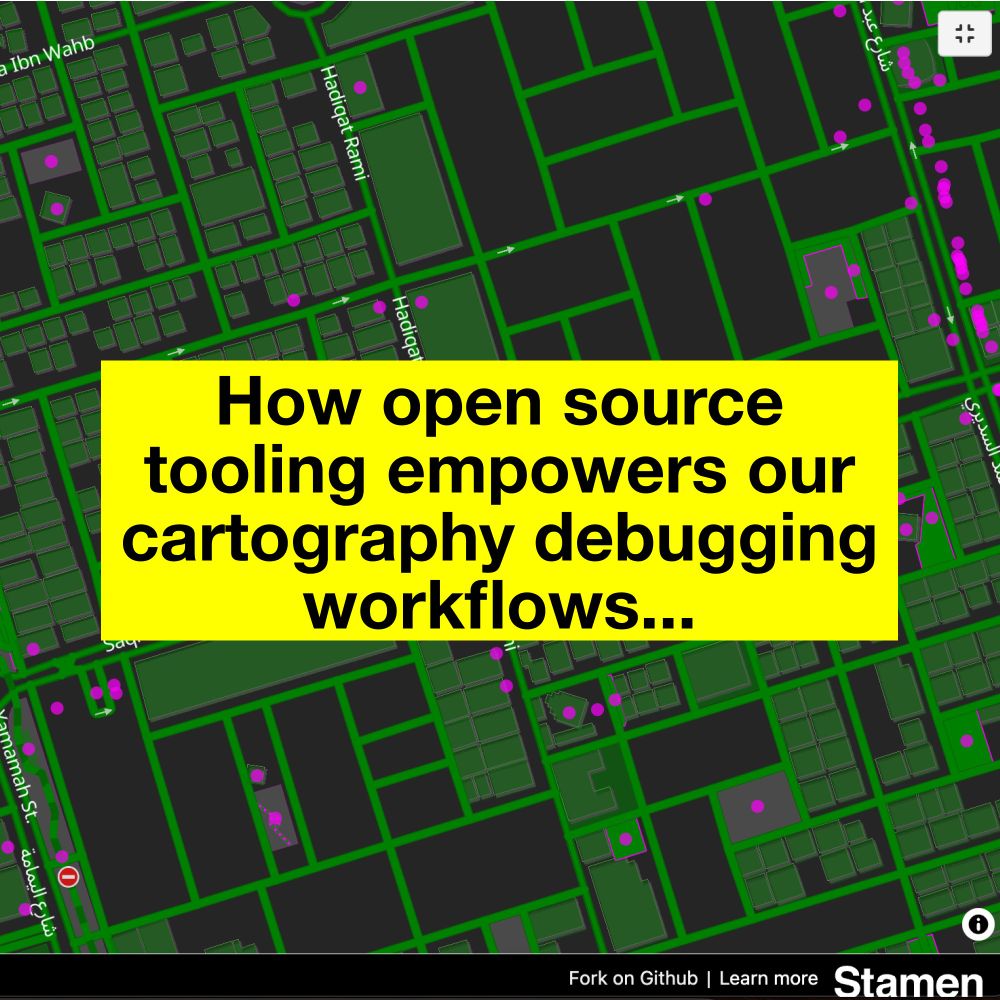
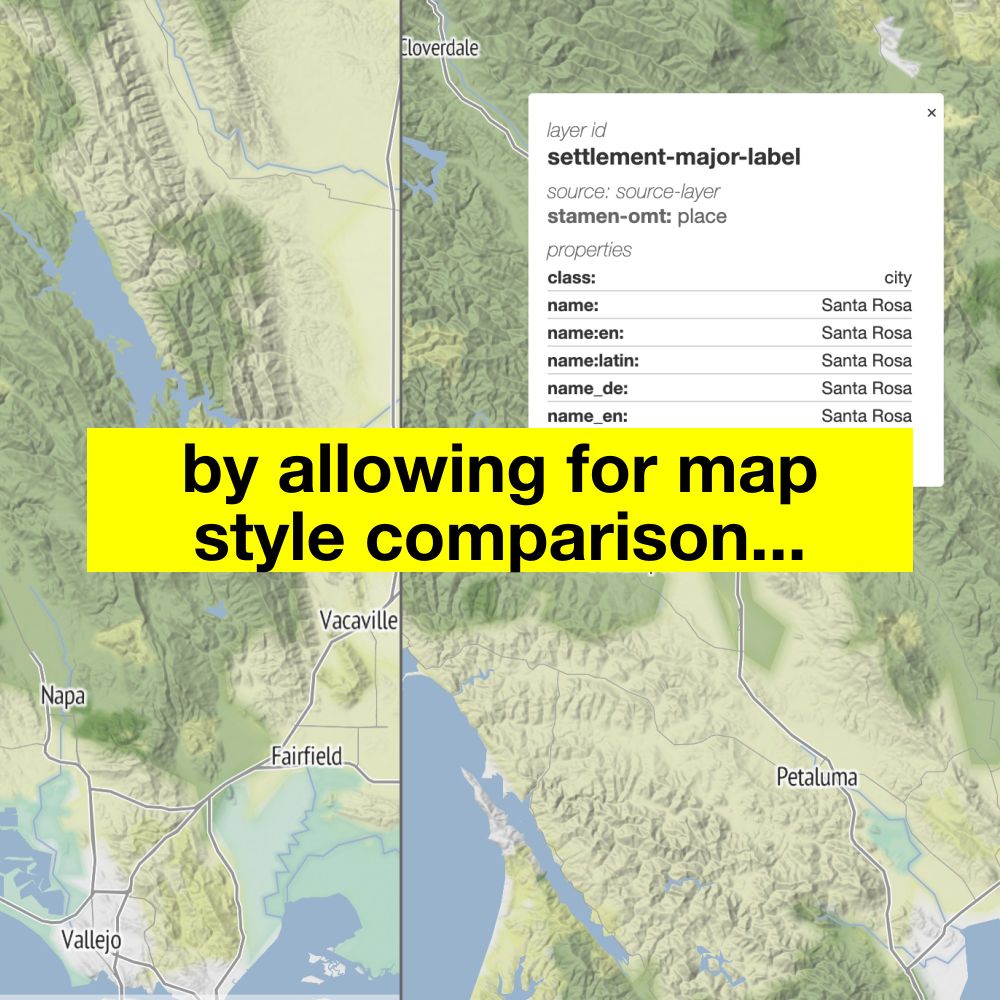
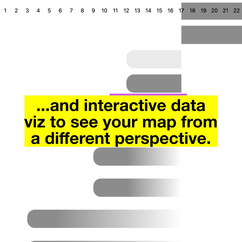
Highway Shields On the Open(StreetMap) Road | Stamen
Maps are fascinating things that show us a world that is both deeply personal and excitingly unfamiliar. As professional cartographers, we understand the joy of browsing parts of the world where you’v...
stamen.com
