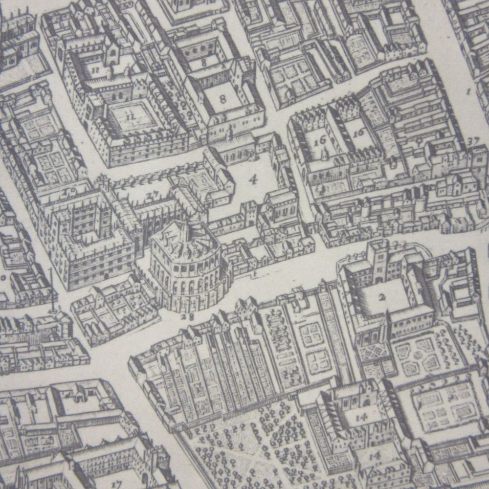
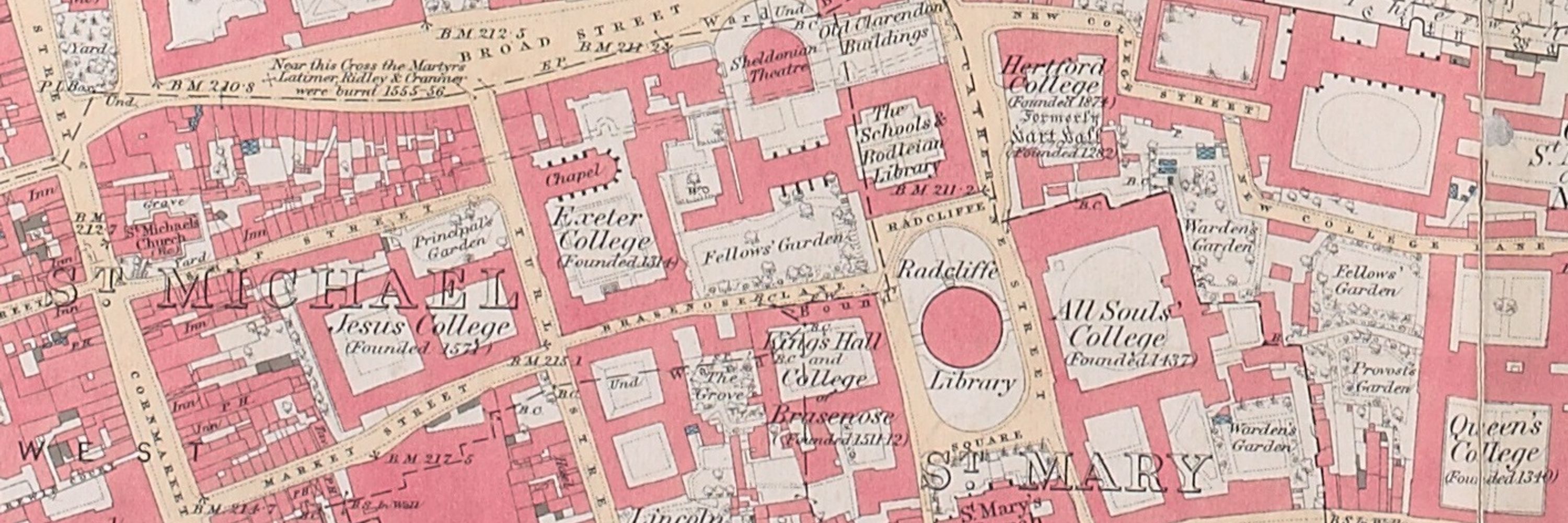
Saw this on a map
@stuartackland.bsky.social
380 followers 2 following 63 posts
From crazy cartouches, wonderful beasts or general carto-frippery, a site that highlights the non-map part of maps! From the Map team at the Bodleian Library
Posts Media Videos Starter Packs
stuartackland.bsky.social
Bartomeu Olives 1575 portolan nautical chart of the Mediterranean includes a lovely elephant and the Red Sea (in red, obvs). Included is the parting of the sea created by God for Moses and the Israelites to cross, fleeing from the Egyptians, as stated in Exodus chapter 14. @bodleian.ox.ac.uk
stuartackland.bsky.social
Herman Moll's 1724 '...maps of England and Wales' are a set of county maps, and standard for the time. What sets the maps apart from others are the illustrations, be they wonderfully named caverns in the Peak District, ancient monuments or a confused approach to old fossils @bodleian.ox.ac.uk
stuartackland.bsky.social
Olaus Magnus's 1539 map of Scandinavia is full of the wonderful and the plain weird. Sea monsters and maelstroms attack ships while on land people travel in reindeer-drawn carriages and fish through the ice. The map was the first to accurately depict land and give place-names. @bodleian.ox.ac.uk
stuartackland.bsky.social
The first public railway was built 200 yrs ago this month, the Stockton and Darlington. Here's some earlier steam engines from railways maps. The Grand Junction from 1839 and the two engines images from 1845. With railways came a whole new type of cartography, the railway map
@bodleian.ox.ac.uk
stuartackland.bsky.social
The Great Fire of London started OTD 1666, destroying large parts of the city. Two images, the first from a 1669 survey of the fire by John Leake and others, the second from a beautiful 'Balloon view of London' from 1859, of the monument to mark the fire, completed in 1677 @bodleian.ox.ac.uk
stuartackland.bsky.social
In-house Ordnance Survey artist Ellis Martin (see a few posts below) often featured his wife Mabel on his map covers, almost always in the pose that can be seen on this map catalogue from 1923 and on the cover of a map of the country round London
@ordnancesurvey.bsky.social @bodleian.ox.ac.uk
stuartackland.bsky.social
More of a case of no longer seen on a map. The volcanic island of Krakatoa exploded in late August 1883, killing over 36,000 people and sending shock waves around the World. Here are 2 admiralty charts from before and after showing the change in landscape caused by the eruption, @bodleian.ox.ac.uk
stuartackland.bsky.social
John Thorntons late portolan (1682) of the Indian Ocean is a thing of beauty, gold bling on the compass rose and selected islands, and an early mention for Australia. All held together with very old hinges. See the whole chart here digital.bodleian.ox.ac.uk/objects/5c9b... @bodleian.ox.ac.uk
stuartackland.bsky.social
Latest fashions for the dapper male and female Dublin cyclist. Adverts for clothes to be had from Arnott & Company, 11-15 Henry Street, Dublin, on the reverse of a 45 mile radius cycling and touring Dublin district map circa 1896. Arnott's opened in 1843 and is still there today @bodleian.ox.ac.uk
stuartackland.bsky.social
Planes, trains and automobiles Soviet-style! Happy holiday makers on their way to Georgia for some Black Sea sun and fun in this 1987 map from Tbilisi. two bathing beauties are being admired by two old men, who, according to their signs are a remarkable 120 and 150 years old,
@bodleian.ox.ac.uk
stuartackland.bsky.social
A War of the Roses face-off as various Henrys from the House of Lancaster (without irony the 'Peace-makers') are shown opposite Richard III and Elizabeth Woodville, Queen to Edward IV and mother to the 'Princes in the Tower', in a 1608 map of Lancashire by John Speed.
@bodleianlibraries.bsky.social
stuartackland.bsky.social
Not exactly Entente Cordiale on this British map of North America, c1759, with numerous texts complaining of French encroachment of British territory. We've just posted a blog about the map here blogs.bodleian.ox.ac.uk/maps/. @bodleianlibraries.bsky.social
stuartackland.bsky.social
Is that duelling banjos I can hear? Anyone else reminded of Deliverance after looking at this cover of a road map of Illinois, 1974,, two years after the film came out? @bodleianlibraries.bsky.social
stuartackland.bsky.social
Beautifully engraved clouds slowly withdraw over historical epochs in Edward Quins historical atlas, 1830. Starting with the Garden of Eden and the deluge in B.C 2348 through classical times to the General Peace in 1828, it's euro-centric and of its time, and a beauty @bodleianlibraries.bsky.social
stuartackland.bsky.social
Fancy a walk? Beautiful covers grace Ordnance Survey maps in the 1930s. Idyllic scenery and beautiful weather captured by the OS inhouse artist Ellis Martin, who often used family members as models. The Birmingham cover is generally regarded as one of the best made @bodleianlibraries.bsky.social
stuartackland.bsky.social
Not 'Bridges of Madison County' but bridges of Michigan State instead, which 'has more than 3,000 bridges on the State Highway alone'. The Houghton-Hancock is a double-deck (road & rail) vertical lift bridge that can be raised 100 feet above the water @bodleianlibraries.bsky.social
stuartackland.bsky.social
Alternative modes of transport on this beautiful cover of a 'motoring and hiking map' of Central England (though the map is at such a scale that it's not much use for walking), from 1945. Hopefully the map being consulted by the two hikers will be a bit more useful @bodleianlibraries.bsky.social
stuartackland.bsky.social
Macdonald Gill made a map celebrating the signing of the Atlantic Charter, a call for a peaceful World in time of War, 1942. This picture in the bottom corner updates the text from Isiah next to it, 'They shall beat their swords into plowshares...'. Here's hoping... @bodleianlibraries.bsky.social
stuartackland.bsky.social
According to the legend surrounding this map of Colchester under siege OTD 1648 during 2nd English Civil War 'Friday 16. Nothing of importance happened, but 3 of Capt. Canons men killed with a canon bullet'. The siege ended with Royalist surrender on the 28 Aug. @bodleianlibraries.bsky.social
stuartackland.bsky.social
yes, though didn't seem to work as Dutch destroyed and captured ships beyond this. Didn't have space to say in post but Evelyn's report to Pepys was delayed a few days because Evelyn had a stomach ache, what he described as 'gripping of the guts'
stuartackland.bsky.social
OTD 1667 Dutch ships sailed up the Medway and attacked naval ships, destroying several and towing the Royal Oak back to the Netherlands. This sketch map comes from a report sent to Samuel Pepys, Secretary to the Navy, by his friend and fellow diarist John Evelyn.
@bodleianlibraries.bsky.social
stuartackland.bsky.social
A fierce lion and unicorn feature in the Royal coat of arms (Will III on throne) from a 1690 addition of Saxton's atlas. Title page includes an image of Neptune and winged putti at sea - suitable for an ocean-going nation - with navigational and map-making equipment @bodleianlibraries.bsky.social
stuartackland.bsky.social
Landings at Aboukir, 8th March 1801, in this faint manuscript map of the what is now called the Battle of Abukir, part of British attempts to free Egypt of Napoleon and the French. South at top, Alexandria just off map. Second image shows action at Rhamanie 9th May @bodleianlibraries.bsky.social
stuartackland.bsky.social
Isaac Taylor's map of Oxford, 1751, is 1 of the 1st 'conventional' maps of the city (as in north at top, streets viewed from above). The map also has views of the city in the corners and churches in profile. The map, and more, here storymaps.arcgis.com/stories/c586... @bodleianlibraries.bsky.social
stuartackland.bsky.social
Just popping in to check the catalogue, surely?