Tom Hengl
@tomhengl.bsky.social
120 followers
42 following
58 posts
Director at OpenGeoHub / and technical director at EnvirometriX. I am a data scientist passionately promoting open data & FOSS4G, automated soil mapping, Machine Learning for environmental data, global data sets, R spatial and spatio-temporal modeling...
Posts
Media
Videos
Starter Packs
Tom Hengl
@tomhengl.bsky.social
· Aug 25

Building an open source foundation for the EU Carbon Registry
Intergenerational Open Geospatial Carbon Registry - Open-Source Tools for Connecting EU Agricultural Policies (CAP) and Carbon Removals and Carbon Farming (CRCF) Regulation to national inventories and...
differ.blog
Tom Hengl
@tomhengl.bsky.social
· Aug 12
Light use efficiency (LUE) based bimonthly gross primary productivity (GPP) for global grasslands at 30 m spatial resolution (2000–2022)
The article describes production of a high spatial resolution (30 m) bimonthly light use efficiency (LUE) based gross primary productivity (GPP) data set representing grasslands for the period 2000 to...
doi.org
Tom Hengl
@tomhengl.bsky.social
· Jul 24
GEDTM30: global ensemble digital terrain model at 30 m and derived multiscale terrain variables
Production and validation of an open global ensemble digital terrain model (GEDTM30) and derived terrain variables at 1 arc-s spacing grid ( $\sim$∼ 30 m spatial resolution) is described. Copernicus D...
doi.org
Tom Hengl
@tomhengl.bsky.social
· Jul 16

Senior Developer / Software Engineer: Open source tools for geospatial data - OpenGeoHub Foundation: Connect | Create | Share | Repeat
If you have already contributed software to open development communities and if your special talent is making tidy, robust and generic software (and if you love to share and educate others) OpenGeoHub...
opengeohub.org
Tom Hengl
@tomhengl.bsky.social
· Jul 14
Spatiotemporal prediction of soil organic carbon density in Europe (2000–2022) using earth observation and machine learning
This article describes a comprehensive framework for soil organic carbon density (SOCD, kg/m3) modeling and mapping, based on spatiotemporal random forest (RF) and quantile regression forests (QRF). A...
doi.org
Tom Hengl
@tomhengl.bsky.social
· Jul 10
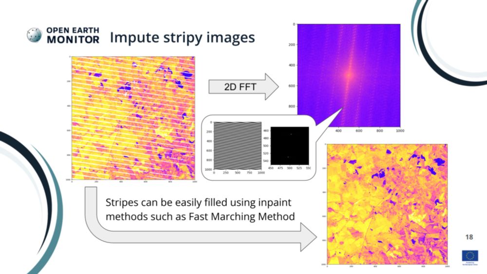
Computer scientist: High Performance Computing for Earth Observation data - OpenGeoHub Foundation: Connect | Create | Share | Repeat
Come to OpenGeoHub and help us improve, optimize and extend HPC infrastructures for Machine Learning so we can contribute together to the global good.
opengeohub.org
Tom Hengl
@tomhengl.bsky.social
· Jun 24
OpenLandMap-soildb: global soil information at 30 m spatial resolution for 2000–2022+ based on spatiotemporal Machine Learning and harmonized legacy soil samples and observations
Abstract. There is increasing interest in global dynamic soil information with changes in soil properties mapped over time and at high spatial resolution. Thanks to long-term, multi-temporal, and fine...
doi.org
Tom Hengl
@tomhengl.bsky.social
· Jun 23
Tom Hengl
@tomhengl.bsky.social
· Jun 23
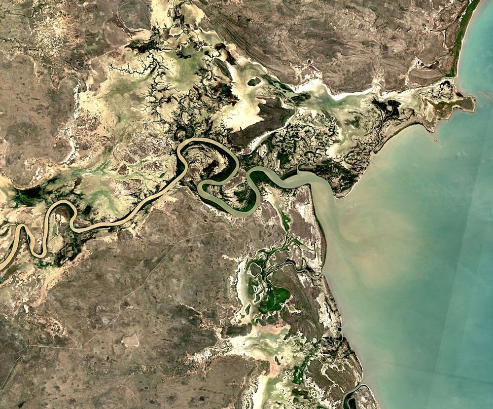
Satellite Embedding V1 | Earth Engine Data Catalog | Google for Developers
The Google Satellite Embedding dataset is a global, analysis-ready collection of learned geospatial embeddings. Each 10-meter pixel in this dataset is a 64-dimensional representation, or "embeddi...
developers.google.com
