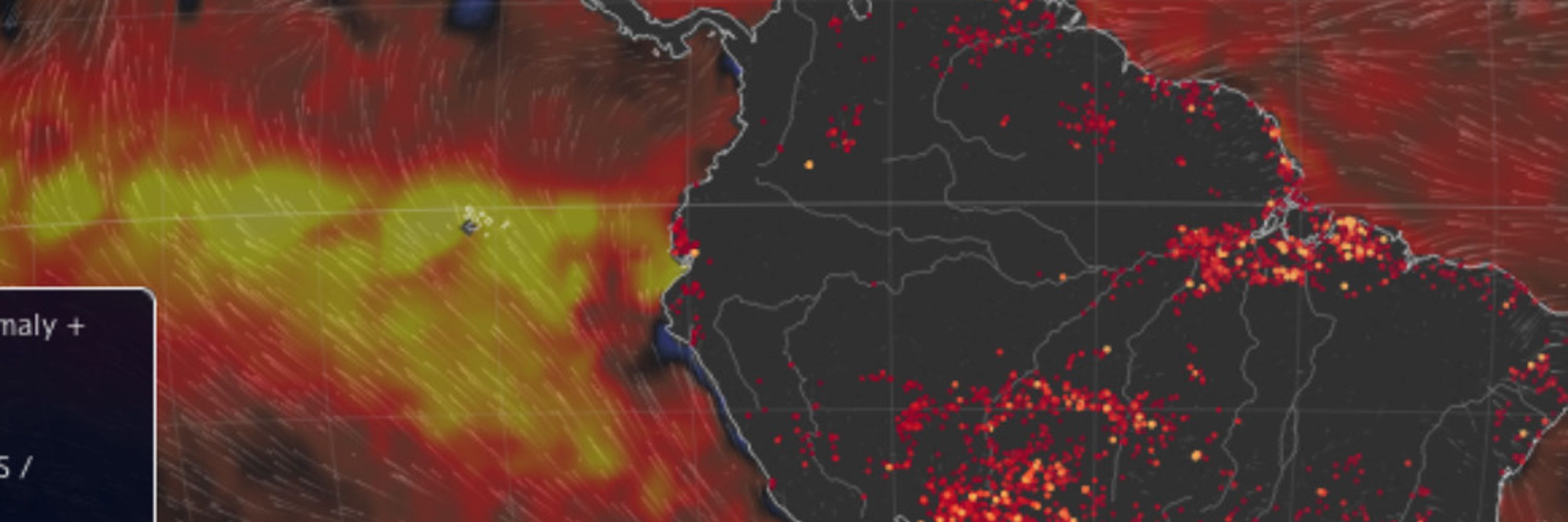
Only possibility I could think of is that the amounts of aerosols prevent rain to fall as the moisture condenses on too many particles. But does not work if moisture levels become too high. But also the aerosol effect should happen downstream and not over the interstate...
South Atlantic had too cold SSTs for Hurricanes - so here could be the potential for a really big shift - but did not have and information via studies on this subject, besides that the SA is just too cold for Hurricanes -
A few weeks later, the tentacles of Hurricane Fiona reached southern Greenland, leading to an unusual late season melt event over the southwest part of the ice sheet.
In early September 2022, the remnants of Typhoon Merbok transformed into a northern Pacific extratropical cyclone, blasting western Alaska with hurricane-force winds and record-high storm surges.
www.youtube.com/@WestPacWx via this channel I follow this area - the least two years this guy went several times awestruck because of all this activity in this area....
Of further interest: if the number of cyclones increase in the western Pacific because of e.g. stronger trade winds and higher SSTs, these storms can also mutual amplify by one providing the moisture for other storms to strengthen
If you got several at the same time things can get interesting
This study is deep ocean stratification - they suggest at the end that a decreasing deep ocean stratification and declining sea ice could reduce the ability of the SO to take up carbon as more would be outgassed.
Could be a mistake - not 100% sure - the study points to stronger stratification in the SO and suppressed outgassing of subsurface CO2 rich waters via reduced upwelling.
Sea ice losses, stronger storms, and increased upwelling of CO2 rich subsurface waters and outgassing is a discussed feedback