
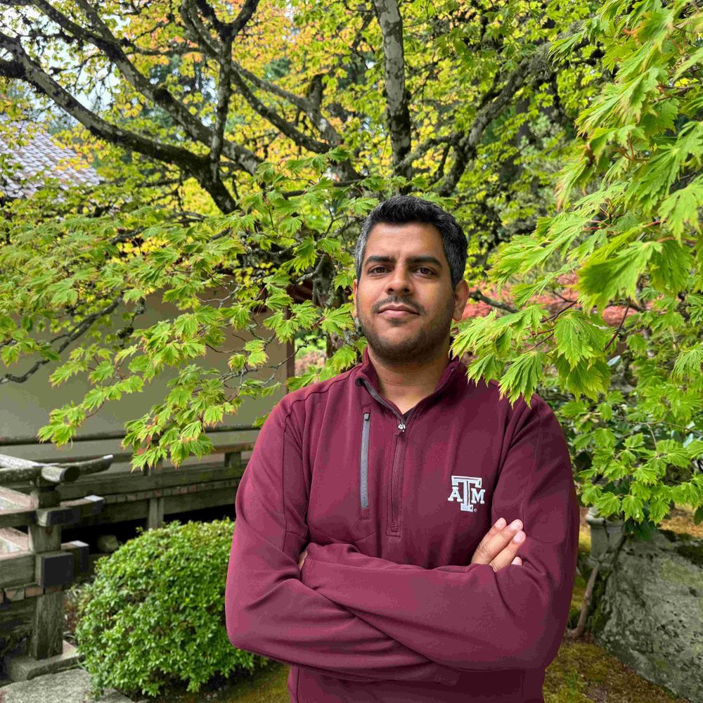
Milind Sharma
@gewitterblitz.bsky.social
210 followers
120 following
35 posts
Deep convective processes - observations and modeling | Ph.D.
Assistant Research Scientist @tamu.bsky.social
Personal website: gewitterblitz.github.io
Posts
Media
Videos
Starter Packs
Reposted by Milind Sharma

Reposted by Milind Sharma


Milind Sharma
@gewitterblitz.bsky.social
· Aug 13
Reposted by Milind Sharma


Reposted by Milind Sharma
Reposted by Milind Sharma


Reposted by Milind Sharma

Reposted by Milind Sharma
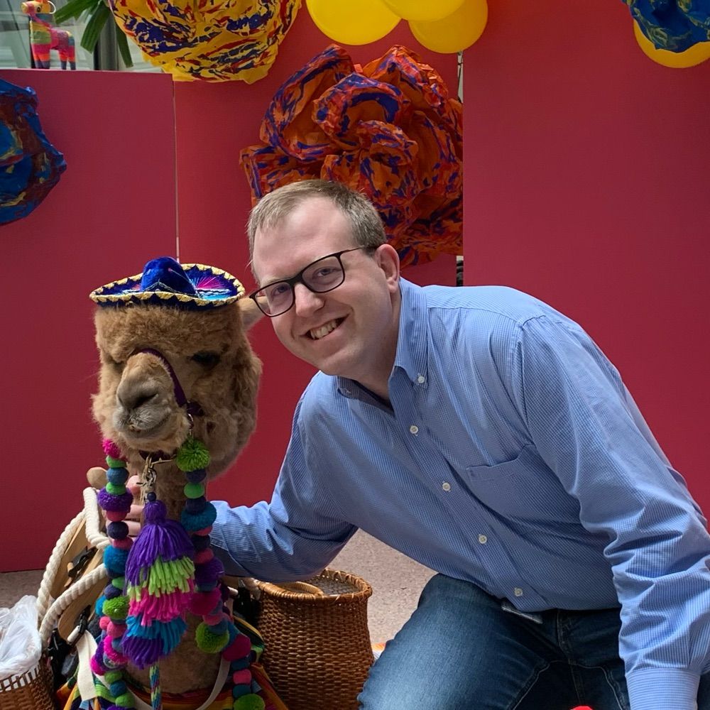
Clark Evans
@clarkevanswx.bsky.social
· Jul 5
Reposted by Milind Sharma

Reposted by Milind Sharma

Reposted by Milind Sharma


Reposted by Milind Sharma


Reposted by Milind Sharma


Reposted by Milind Sharma


Reposted by Milind Sharma
