
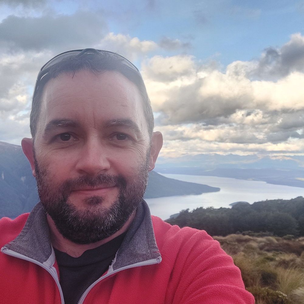
Chris Wilson
@crwilson84.bsky.social
36 followers
28 following
44 posts
Ōtautahi Christchurch, Waitaha Canterbury, Aotearoa New Zealand
Posts
Media
Videos
Starter Packs

Reposted by Chris Wilson


Reposted by Chris Wilson


Reposted by Chris Wilson


Chris Wilson
@crwilson84.bsky.social
· Aug 31
Chris Wilson
@crwilson84.bsky.social
· Aug 31


Chris Wilson
@crwilson84.bsky.social
· Aug 27
Chris Wilson
@crwilson84.bsky.social
· Aug 26
Chris Wilson
@crwilson84.bsky.social
· Aug 22
Reposted by Chris Wilson

Chris Wilson
@crwilson84.bsky.social
· Jul 30

Reposted by Chris Wilson

Reposted by Chris Wilson
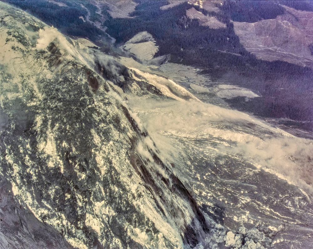
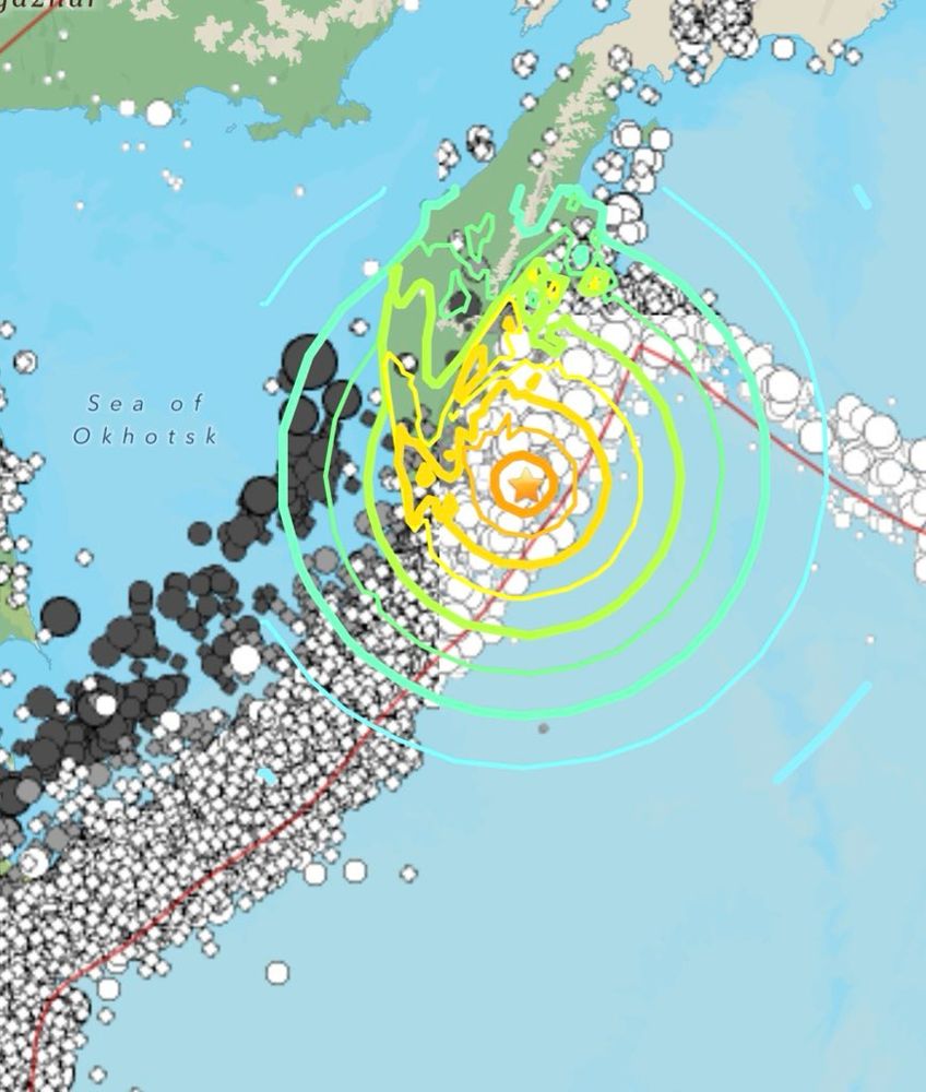
Dr. Wendy Bohon
@drwendyrocks.bsky.social
· Jul 30
Chris Wilson
@crwilson84.bsky.social
· Jul 30
Chris Wilson
@crwilson84.bsky.social
· Jul 30

Reposted by Chris Wilson