


Tim Ballisty
@irisheagle.bsky.social
Weather, space, Earth science, home automation, MLB, Philly sports, Asheville (Western NC), Pearl Jam, stay-at-home parenting, practical tech for your daily life, keeping the belly fat off
Reposted by Tim Ballisty

Great new reporting by @catebrown.bsky.social www.theguardian.com/us-news/2026...

NSA detected phone call between foreign intelligence and a person close to Trump
Whistleblower says that Tulsi Gabbard blocked agency from sharing report and delivered it to White House chief of staff
www.theguardian.com
February 7, 2026 at 6:12 PM
Great new reporting by @catebrown.bsky.social www.theguardian.com/us-news/2026...
It's day 12 of the Nashville power outage. It's looking like this might be the day that there is 100% restoration. Not sure though. NES just published a new arcgis map to see where outages remain.
experience.arcgis.com/experience/7...
experience.arcgis.com/experience/7...
Experience
experience.arcgis.com
February 5, 2026 at 3:47 PM
It's day 12 of the Nashville power outage. It's looking like this might be the day that there is 100% restoration. Not sure though. NES just published a new arcgis map to see where outages remain.
experience.arcgis.com/experience/7...
experience.arcgis.com/experience/7...
Graupeling and light snow at the airport. #Asheville

February 5, 2026 at 11:40 AM
Graupeling and light snow at the airport. #Asheville
Got a decent coating of ❄️ in East Asheville. Light snow continues to fall.
February 5, 2026 at 11:15 AM
Got a decent coating of ❄️ in East Asheville. Light snow continues to fall.
Players: I only know Shams, Keegan, and Jeremy Lin. Some of the names seem to be made up. LOL


February 3, 2026 at 5:46 PM
Players: I only know Shams, Keegan, and Jeremy Lin. Some of the names seem to be made up. LOL
Honestly this is not a huge deal but considering kids remain out of school here in WNC, any snow nuisance probably needs to be addressed.
timothyballisty.substack.com/p/inch-of-sn...
timothyballisty.substack.com/p/inch-of-sn...

February 3, 2026 at 3:18 PM
Honestly this is not a huge deal but considering kids remain out of school here in WNC, any snow nuisance probably needs to be addressed.
timothyballisty.substack.com/p/inch-of-sn...
timothyballisty.substack.com/p/inch-of-sn...
The social media 👀-opening snow maps that were published before the eventual ice storm of Jan 24/25 likely f*cked up the preparation and/or damage mitigation by the general public, emergency management, and utility companies of middle Tennessee.
February 2, 2026 at 8:55 PM
The social media 👀-opening snow maps that were published before the eventual ice storm of Jan 24/25 likely f*cked up the preparation and/or damage mitigation by the general public, emergency management, and utility companies of middle Tennessee.
Metro Nashville schools have been out since the ice storm (Jan 26). Decent chance they will return to the classroom tomorrow, Feb 3.
February 2, 2026 at 8:45 PM
Metro Nashville schools have been out since the ice storm (Jan 26). Decent chance they will return to the classroom tomorrow, Feb 3.
Great episode on the Nashville ice storm disaster fallout. pca.st/episode/893a...
Apple: Fog of Weather: NES, OEM and M… - Pod Bless Nashville share.google/ysUXL0sAzM9h...
Apple: Fog of Weather: NES, OEM and M… - Pod Bless Nashville share.google/ysUXL0sAzM9h...

February 2, 2026 at 8:35 PM
Great episode on the Nashville ice storm disaster fallout. pca.st/episode/893a...
Apple: Fog of Weather: NES, OEM and M… - Pod Bless Nashville share.google/ysUXL0sAzM9h...
Apple: Fog of Weather: NES, OEM and M… - Pod Bless Nashville share.google/ysUXL0sAzM9h...
Reposted by Tim Ballisty

(AP) Punxsutawney Phil has been indicted on 17 counts of wire fraud.
February 2, 2026 at 1:40 PM
(AP) Punxsutawney Phil has been indicted on 17 counts of wire fraud.
A look at a few of the features from today's satellite pass via NASA WorldView go.nasa.gov/46inGaP

February 1, 2026 at 6:48 PM
A look at a few of the features from today's satellite pass via NASA WorldView go.nasa.gov/46inGaP
From wildfires to hurricanes to ice storms, utility companies never seem to ever be prepared for the "big one". Latest candidate: NES Nashville.
February 1, 2026 at 6:10 PM
From wildfires to hurricanes to ice storms, utility companies never seem to ever be prepared for the "big one". Latest candidate: NES Nashville.
Loads of lightning with the rapidly intensifying western Atlantic ocean storm. These vessels are experiencing some "weather".


February 1, 2026 at 1:57 PM
Loads of lightning with the rapidly intensifying western Atlantic ocean storm. These vessels are experiencing some "weather".
Pretty cool to see lake-enhanced snow flurries falling over middle Tennessee this morning with moisture from...checks notes....Lake Michigan. (This actually is not incredibly unusual but still interesting nonetheless) #Nashville


February 1, 2026 at 1:45 PM
Pretty cool to see lake-enhanced snow flurries falling over middle Tennessee this morning with moisture from...checks notes....Lake Michigan. (This actually is not incredibly unusual but still interesting nonetheless) #Nashville

I looked quickly at this and thought it was Raphael 🐢

China's BYD vehicle sales fall for fifth month in a row reut.rs/4qa6Wty

China's BYD vehicle sales fall for fifth month in a row
BYD's vehicle sales fell by 30.1% in January from a year earlier, the fifth straight month of decline, as the Chinese electric vehicle maker navigates external uncertainties and stiff competition at home.
reut.rs
February 1, 2026 at 10:47 AM
I looked quickly at this and thought it was Raphael 🐢
My summary of North Carolina’s Jan 31 - Feb 1 snowstorm 😀

February 1, 2026 at 10:22 AM
My summary of North Carolina’s Jan 31 - Feb 1 snowstorm 😀
Still quite the windy snowstorm ongoing for Eastern NC and SE Virginia. Likely brief periods of a bona fide blizzard overnight and this morning.
February 1, 2026 at 10:06 AM
Still quite the windy snowstorm ongoing for Eastern NC and SE Virginia. Likely brief periods of a bona fide blizzard overnight and this morning.
Found this on Facebook regarding the major accident and stranded cars/semis on I-85 near Kannapolis, NC.
February 1, 2026 at 1:09 AM
Found this on Facebook regarding the major accident and stranded cars/semis on I-85 near Kannapolis, NC.
Big accident on I-85 north of Concord, NC

February 1, 2026 at 12:51 AM
Big accident on I-85 north of Concord, NC
I'm at 6.25 inches. Getting more difficult with the wind. @nwsgsp
January 31, 2026 at 8:42 PM
I'm at 6.25 inches. Getting more difficult with the wind. @nwsgsp
Watch the upper low moisture fade and give way to the Northwest flow snow bands.
January 31, 2026 at 8:28 PM
Watch the upper low moisture fade and give way to the Northwest flow snow bands.
Afternoon radar snapshot analysis.

January 31, 2026 at 8:18 PM
Afternoon radar snapshot analysis.
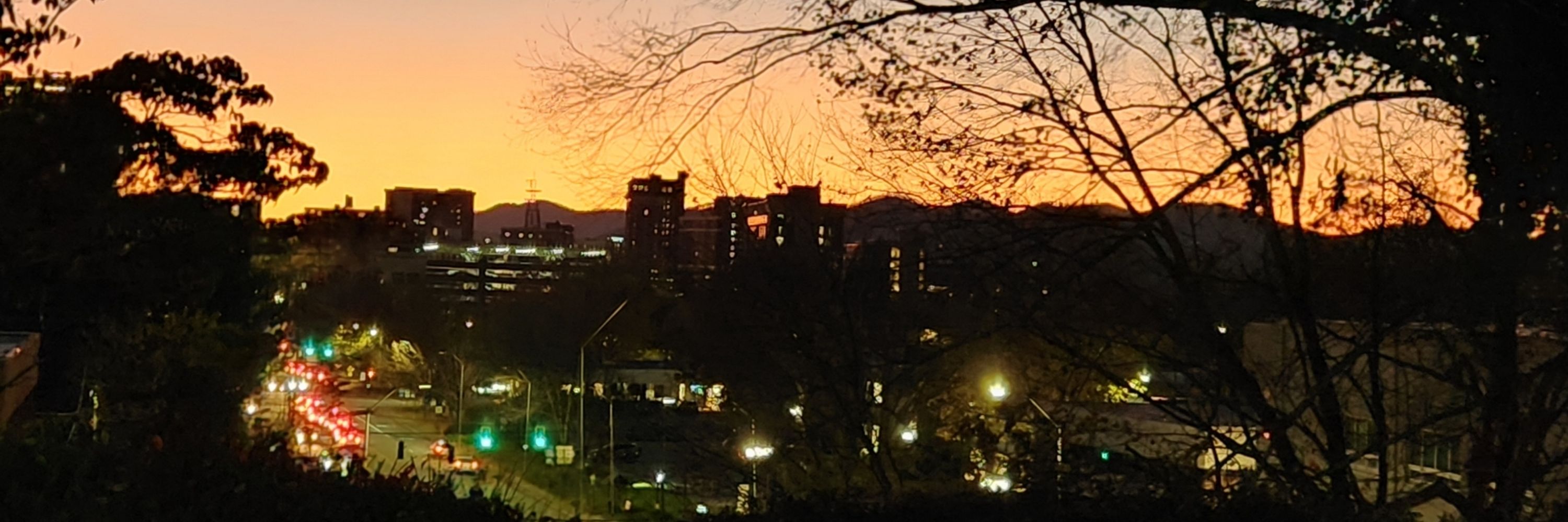
A beautiful sight!

January 31, 2026 at 7:54 PM
A beautiful sight!
Afternoon satellite loop of our Carolina snowstorm.
January 31, 2026 at 7:38 PM
Afternoon satellite loop of our Carolina snowstorm.