


Stefan Reifenberg
@reyfenberg.bsky.social
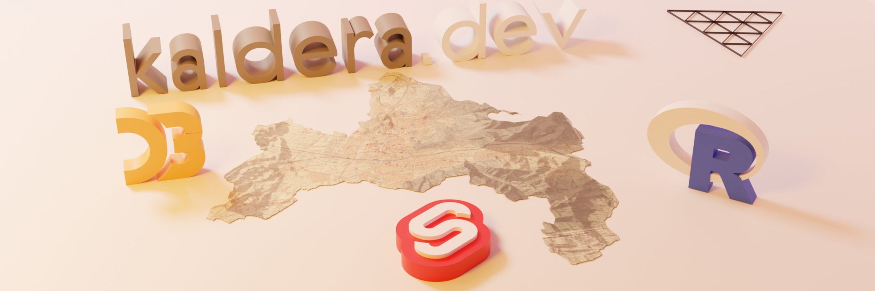
Information Designer / Creative Developer / Freelancer / 3D & Geo enjoyer / stefanreifenberg.com / kaldera.dev
Holy moly that is so cool!
February 1, 2026 at 2:43 PM
Holy moly that is so cool!
#30DayMapChallenge Day 8: Urban
Inspired by the Morphocode Explorer, I’m building a Freiburg-focused remix using open data. Still early, but learning a ton already!
Tech: OSM, Freiburg Open Data · #Svelte · MapLibre · Turf.js · Tileserver-GL
#Urban #UrbanData #WebMapping #Geospatial #GIS #DataViz
Inspired by the Morphocode Explorer, I’m building a Freiburg-focused remix using open data. Still early, but learning a ton already!
Tech: OSM, Freiburg Open Data · #Svelte · MapLibre · Turf.js · Tileserver-GL
#Urban #UrbanData #WebMapping #Geospatial #GIS #DataViz
November 25, 2025 at 6:45 AM
#30DayMapChallenge Day 8: Urban
Inspired by the Morphocode Explorer, I’m building a Freiburg-focused remix using open data. Still early, but learning a ton already!
Tech: OSM, Freiburg Open Data · #Svelte · MapLibre · Turf.js · Tileserver-GL
#Urban #UrbanData #WebMapping #Geospatial #GIS #DataViz
Inspired by the Morphocode Explorer, I’m building a Freiburg-focused remix using open data. Still early, but learning a ton already!
Tech: OSM, Freiburg Open Data · #Svelte · MapLibre · Turf.js · Tileserver-GL
#Urban #UrbanData #WebMapping #Geospatial #GIS #DataViz
Love your little plant Jon 🌷
November 12, 2025 at 8:52 PM
Love your little plant Jon 🌷
Gave geo-projections.com a long overdue refresh
Tooltips showing area distortion
Tissot circles for visualization
City search & map dragging
Dark/Light mode
Many more fixes
Originally built it in 2021 while learning #d3js
#cartography #gischat #maps #cartography #qgis #gis
Tooltips showing area distortion
Tissot circles for visualization
City search & map dragging
Dark/Light mode
Many more fixes
Originally built it in 2021 while learning #d3js
#cartography #gischat #maps #cartography #qgis #gis
November 10, 2025 at 12:31 PM
Gave geo-projections.com a long overdue refresh
Tooltips showing area distortion
Tissot circles for visualization
City search & map dragging
Dark/Light mode
Many more fixes
Originally built it in 2021 while learning #d3js
#cartography #gischat #maps #cartography #qgis #gis
Tooltips showing area distortion
Tissot circles for visualization
City search & map dragging
Dark/Light mode
Many more fixes
Originally built it in 2021 while learning #d3js
#cartography #gischat #maps #cartography #qgis #gis
This looks so unbelievably good 👍
May 15, 2025 at 4:06 PM
This looks so unbelievably good 👍
Just wrapped up my interactive fitness visualization with Svelte 5 and D3.js. Feeling fit and creative! 🏋️📊
fitness-viz-ov5k.vercel.app
#Svelte #D3js #FitnessViz #CreativeCoding #threejs #threejsJourney #DataVisualization
fitness-viz-ov5k.vercel.app
#Svelte #D3js #FitnessViz #CreativeCoding #threejs #threejsJourney #DataVisualization
March 17, 2025 at 11:51 AM
Just wrapped up my interactive fitness visualization with Svelte 5 and D3.js. Feeling fit and creative! 🏋️📊
fitness-viz-ov5k.vercel.app
#Svelte #D3js #FitnessViz #CreativeCoding #threejs #threejsJourney #DataVisualization
fitness-viz-ov5k.vercel.app
#Svelte #D3js #FitnessViz #CreativeCoding #threejs #threejsJourney #DataVisualization
My 2024 fitness #datavisualization is taking more and more shape :)
Great way to learn the new #svelte 5 runes and combining it with #d3.js.
Great way to learn the new #svelte 5 runes and combining it with #d3.js.

March 3, 2025 at 7:25 PM
My 2024 fitness #datavisualization is taking more and more shape :)
Great way to learn the new #svelte 5 runes and combining it with #d3.js.
Great way to learn the new #svelte 5 runes and combining it with #d3.js.
I always enjoy this kind of accidental art. It’s way better than the „why is nothing on my screen?“
March 3, 2025 at 4:40 PM
I always enjoy this kind of accidental art. It’s way better than the „why is nothing on my screen?“
Not my home but I know my way around

March 3, 2025 at 4:35 PM
Not my home but I know my way around
This looks so good. I played around with the website yesterday and it blew my mind.
February 25, 2025 at 3:29 PM
This looks so good. I played around with the website yesterday and it blew my mind.
yes! You can create the circle here:
observablehq.com/@joewdavies/...
Export it and use Blender to create a displacement map. Also check this post here:
bsky.app/profile/joew...
Hope this helps.
observablehq.com/@joewdavies/...
Export it and use Blender to create a displacement map. Also check this post here:
bsky.app/profile/joew...
Hope this helps.
February 12, 2025 at 8:02 PM
yes! You can create the circle here:
observablehq.com/@joewdavies/...
Export it and use Blender to create a displacement map. Also check this post here:
bsky.app/profile/joew...
Hope this helps.
observablehq.com/@joewdavies/...
Export it and use Blender to create a displacement map. Also check this post here:
bsky.app/profile/joew...
Hope this helps.
I am working on a #datavisualization to better understand my fitness trends over the past year, combining gym visit logs and Apple Health data.
Sneak peek to the hero section done with #svelte and the freshly released #threlte v8.
#D3js #FitnessAnalytics #WebDevelopment #CreativeCoding #threejs
Sneak peek to the hero section done with #svelte and the freshly released #threlte v8.
#D3js #FitnessAnalytics #WebDevelopment #CreativeCoding #threejs
February 12, 2025 at 7:33 PM
I am working on a #datavisualization to better understand my fitness trends over the past year, combining gym visit logs and Apple Health data.
Sneak peek to the hero section done with #svelte and the freshly released #threlte v8.
#D3js #FitnessAnalytics #WebDevelopment #CreativeCoding #threejs
Sneak peek to the hero section done with #svelte and the freshly released #threlte v8.
#D3js #FitnessAnalytics #WebDevelopment #CreativeCoding #threejs
This is the way
February 12, 2025 at 7:03 PM
This is the way
Created a new REM map of the Neches River, Texas! 🌊🎨
This one was tricky—huge data size caused endless crashes in QGIS and Blender, but the result looks like a painting! Lidar data from the USGS Explorer.
#GIS #Blender3D #DataViz #NechesRiver #Mapping #Geospatial
This one was tricky—huge data size caused endless crashes in QGIS and Blender, but the result looks like a painting! Lidar data from the USGS Explorer.
#GIS #Blender3D #DataViz #NechesRiver #Mapping #Geospatial

February 6, 2025 at 12:02 PM
Created a new REM map of the Neches River, Texas! 🌊🎨
This one was tricky—huge data size caused endless crashes in QGIS and Blender, but the result looks like a painting! Lidar data from the USGS Explorer.
#GIS #Blender3D #DataViz #NechesRiver #Mapping #Geospatial
This one was tricky—huge data size caused endless crashes in QGIS and Blender, but the result looks like a painting! Lidar data from the USGS Explorer.
#GIS #Blender3D #DataViz #NechesRiver #Mapping #Geospatial
Created this REM of the Snake River meanders! 🐍🌊
Processed with QGIS, rendered in Blender using lidar data from the USGS Explorer. Inspired by the amazing @milos-makes-maps.bsky.social!
#GIS #DataViz #Blender3D #SnakeRiver #Mapping #Geospatial
Processed with QGIS, rendered in Blender using lidar data from the USGS Explorer. Inspired by the amazing @milos-makes-maps.bsky.social!
#GIS #DataViz #Blender3D #SnakeRiver #Mapping #Geospatial

January 30, 2025 at 5:22 PM
Created this REM of the Snake River meanders! 🐍🌊
Processed with QGIS, rendered in Blender using lidar data from the USGS Explorer. Inspired by the amazing @milos-makes-maps.bsky.social!
#GIS #DataViz #Blender3D #SnakeRiver #Mapping #Geospatial
Processed with QGIS, rendered in Blender using lidar data from the USGS Explorer. Inspired by the amazing @milos-makes-maps.bsky.social!
#GIS #DataViz #Blender3D #SnakeRiver #Mapping #Geospatial
Made this 3D map of Gottenheim, my home village in southern Germany! 🏡✨
Rendered in Blender using data from OpenStreetMap. Love blending technology and creativity to visualize local places!
#Blender3D #GIS #Mapping #DataViz #Cartography
Rendered in Blender using data from OpenStreetMap. Love blending technology and creativity to visualize local places!
#Blender3D #GIS #Mapping #DataViz #Cartography

January 26, 2025 at 9:56 AM
Made this 3D map of Gottenheim, my home village in southern Germany! 🏡✨
Rendered in Blender using data from OpenStreetMap. Love blending technology and creativity to visualize local places!
#Blender3D #GIS #Mapping #DataViz #Cartography
Rendered in Blender using data from OpenStreetMap. Love blending technology and creativity to visualize local places!
#Blender3D #GIS #Mapping #DataViz #Cartography
Love it! This is so cool.
January 25, 2025 at 8:31 PM
Love it! This is so cool.
Sweet. Looking forward!
January 24, 2025 at 8:04 AM
Sweet. Looking forward!
Hey @joewdavies.bsky.social i found a small bug in your observable notebook regarding the water. I checked my birthplace and there is a giant body of water going through it.
Coords are: 49.75 / 6.64
Here is my fork:
observablehq.com/d/97f1d7aba4...
Coords are: 49.75 / 6.64
Here is my fork:
observablehq.com/d/97f1d7aba4...

January 23, 2025 at 7:04 PM
Hey @joewdavies.bsky.social i found a small bug in your observable notebook regarding the water. I checked my birthplace and there is a giant body of water going through it.
Coords are: 49.75 / 6.64
Here is my fork:
observablehq.com/d/97f1d7aba4...
Coords are: 49.75 / 6.64
Here is my fork:
observablehq.com/d/97f1d7aba4...
Ok perfect. I played around with the Displacement node and this is the main reason why my map looked different compared to yours. I basically need to find the perfect balance between Midlevel and Scale. Thanks for your help!
January 22, 2025 at 7:56 PM
Ok perfect. I played around with the Displacement node and this is the main reason why my map looked different compared to yours. I basically need to find the perfect balance between Midlevel and Scale. Thanks for your help!
Hmkay and do you use a Plane with a Subdivision modifier?
January 22, 2025 at 7:10 PM
Hmkay and do you use a Plane with a Subdivision modifier?
What does your surface Displacement setting look like?
This is what mine looks like.
This is what mine looks like.

January 22, 2025 at 6:52 PM
What does your surface Displacement setting look like?
This is what mine looks like.
This is what mine looks like.