Andrew Fleming
@ahfleming.bsky.social
81 followers
92 following
21 posts
I am Head of MAGIC (Mapping and Geographic Information Centre) at the British Antarctic Survey. All things spatial - especially in cold places.
Posts
Media
Videos
Starter Packs


Reposted by Andrew Fleming
Reposted by Andrew Fleming
Reposted by Andrew Fleming
Reposted by Andrew Fleming
Reposted by Andrew Fleming


Reposted by Andrew Fleming
Reposted by Andrew Fleming
Reposted by Andrew Fleming


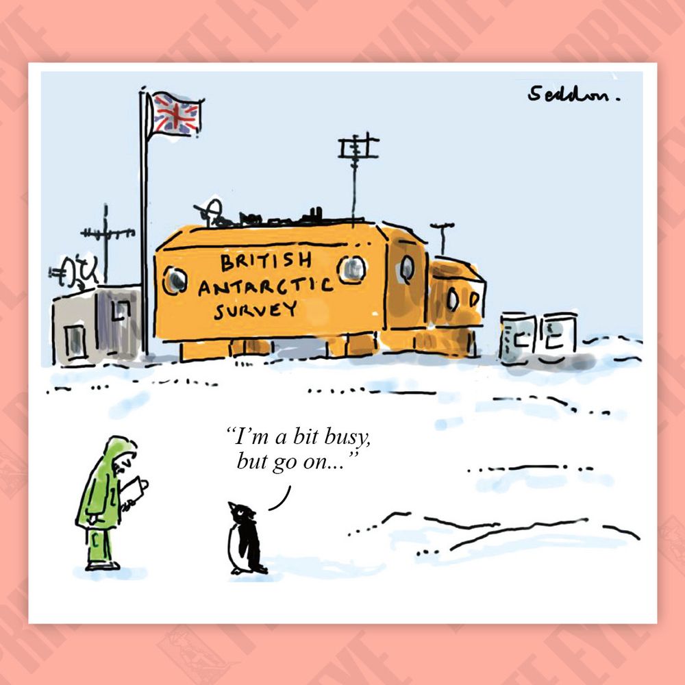
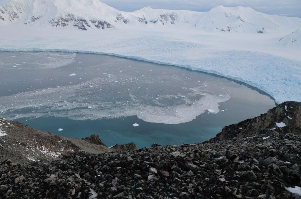
Andrew Fleming
@ahfleming.bsky.social
· Mar 5


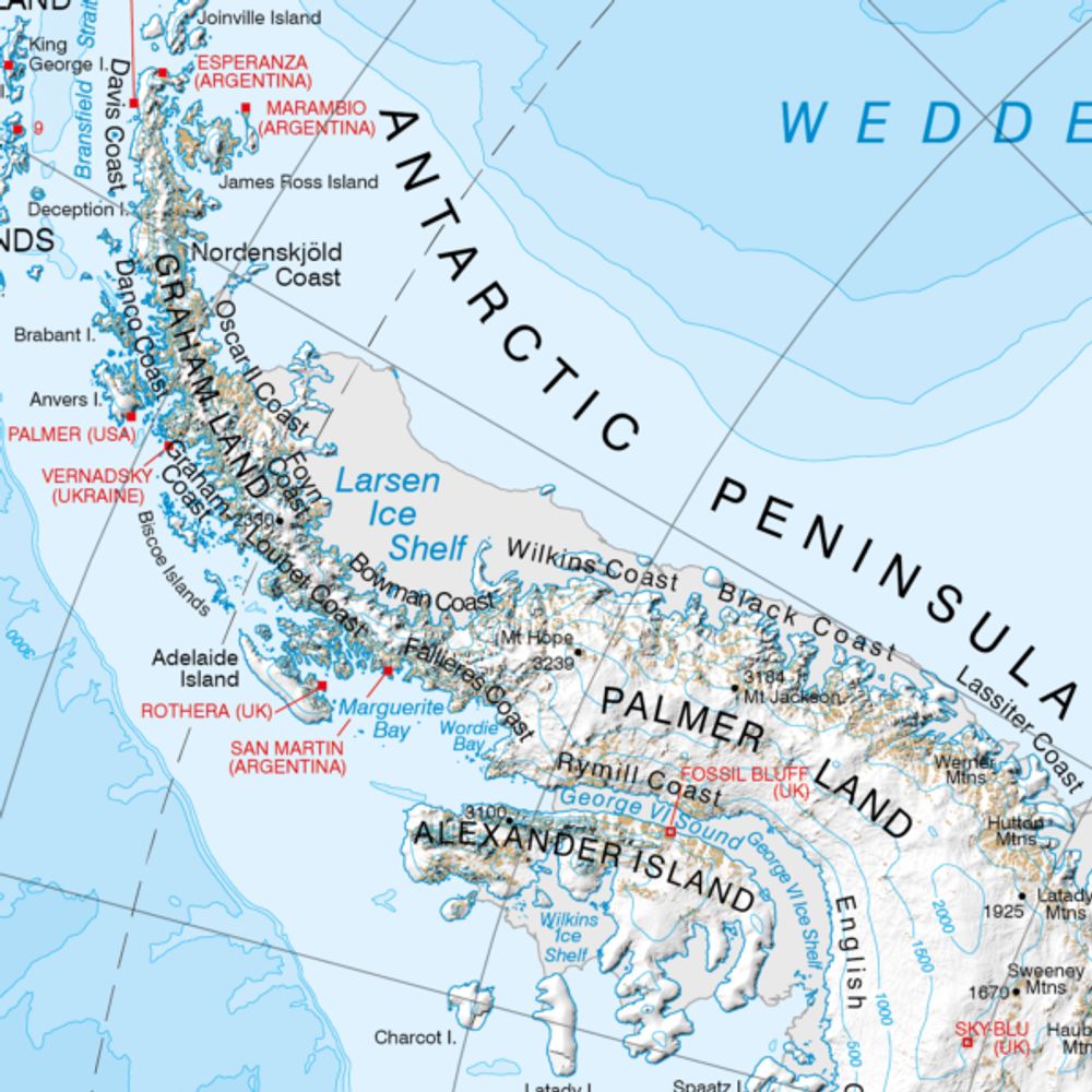
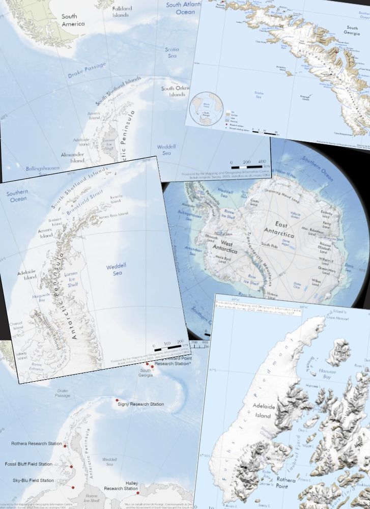
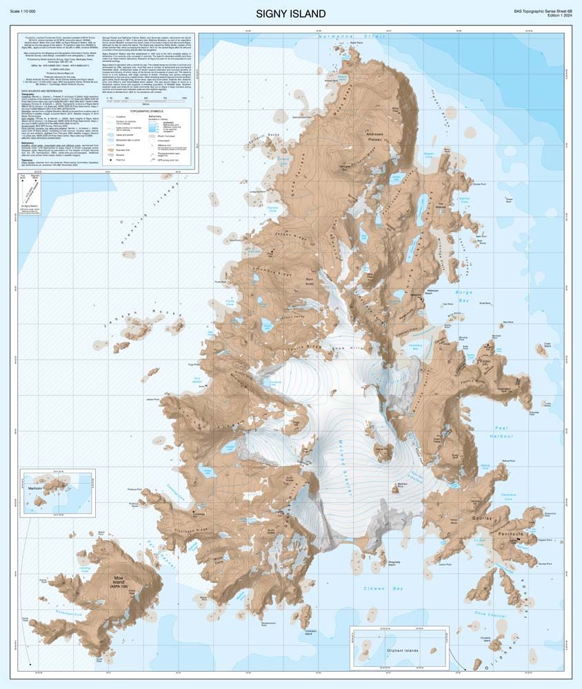
Andrew Fleming
@ahfleming.bsky.social
· Mar 4

Reposted by Andrew Fleming