


California Landscapes
@calandscapebot.bsky.social
a real time portrait of California brought to you by the alertca.live network. maintained by @obtusatum.bsky.social.
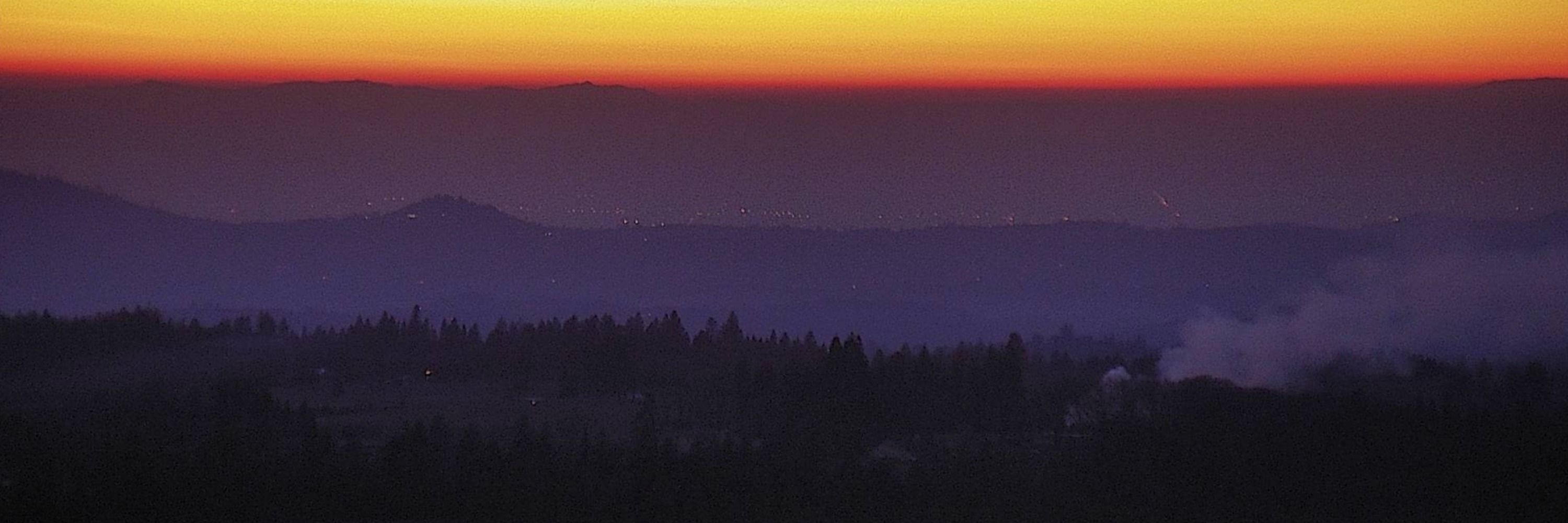
South Oroville, Butte County, CA
🗺39.4627, -121.5824 🧭67° ⛰220 ft
https://ops.alertcalifornia.org/cam-console/1694
🗺39.4627, -121.5824 🧭67° ⛰220 ft
https://ops.alertcalifornia.org/cam-console/1694

December 1, 2025 at 2:33 AM
South Oroville, Butte County, CA
🗺39.4627, -121.5824 🧭67° ⛰220 ft
https://ops.alertcalifornia.org/cam-console/1694
🗺39.4627, -121.5824 🧭67° ⛰220 ft
https://ops.alertcalifornia.org/cam-console/1694
Rincon del Diablo S, SanDiego County, CA
🗺33.0938, -117.1211 🧭156° ⛰912 ft
https://ops.alertcalifornia.org/cam-console/2319
🗺33.0938, -117.1211 🧭156° ⛰912 ft
https://ops.alertcalifornia.org/cam-console/2319
December 1, 2025 at 2:04 AM
Rincon del Diablo S, SanDiego County, CA
🗺33.0938, -117.1211 🧭156° ⛰912 ft
https://ops.alertcalifornia.org/cam-console/2319
🗺33.0938, -117.1211 🧭156° ⛰912 ft
https://ops.alertcalifornia.org/cam-console/2319
San Sevaine Lookout 1, SanBernardino County, CA
🗺34.2135, -117.5009 🧭24° ⛰5640 ft
https://ops.alertcalifornia.org/cam-console/2355
🗺34.2135, -117.5009 🧭24° ⛰5640 ft
https://ops.alertcalifornia.org/cam-console/2355

December 1, 2025 at 1:33 AM
San Sevaine Lookout 1, SanBernardino County, CA
🗺34.2135, -117.5009 🧭24° ⛰5640 ft
https://ops.alertcalifornia.org/cam-console/2355
🗺34.2135, -117.5009 🧭24° ⛰5640 ft
https://ops.alertcalifornia.org/cam-console/2355
Lakeview Big Bear 1, SanBernardino County, CA
🗺34.2674, -116.8802 🧭230° ⛰7090 ft
https://ops.alertcalifornia.org/cam-console/2069
🗺34.2674, -116.8802 🧭230° ⛰7090 ft
https://ops.alertcalifornia.org/cam-console/2069
December 1, 2025 at 1:04 AM
Lakeview Big Bear 1, SanBernardino County, CA
🗺34.2674, -116.8802 🧭230° ⛰7090 ft
https://ops.alertcalifornia.org/cam-console/2069
🗺34.2674, -116.8802 🧭230° ⛰7090 ft
https://ops.alertcalifornia.org/cam-console/2069
Pecwan 2, Humboldt County, CA
🗺41.3210, -123.8838 🧭0° ⛰1946 ft
https://ops.alertcalifornia.org/cam-console/2244
🗺41.3210, -123.8838 🧭0° ⛰1946 ft
https://ops.alertcalifornia.org/cam-console/2244

December 1, 2025 at 12:33 AM
Pecwan 2, Humboldt County, CA
🗺41.3210, -123.8838 🧭0° ⛰1946 ft
https://ops.alertcalifornia.org/cam-console/2244
🗺41.3210, -123.8838 🧭0° ⛰1946 ft
https://ops.alertcalifornia.org/cam-console/2244
Golden Gate, Calaveras County, CA
🗺38.2486, -120.7473 🧭44° ⛰1942 ft
https://ops.alertcalifornia.org/cam-console/1988
🗺38.2486, -120.7473 🧭44° ⛰1942 ft
https://ops.alertcalifornia.org/cam-console/1988

November 30, 2025 at 11:33 PM
Golden Gate, Calaveras County, CA
🗺38.2486, -120.7473 🧭44° ⛰1942 ft
https://ops.alertcalifornia.org/cam-console/1988
🗺38.2486, -120.7473 🧭44° ⛰1942 ft
https://ops.alertcalifornia.org/cam-console/1988
Marzano Peak 1, Inyo County, CA
🗺37.2053, -118.1075 🧭254° ⛰8891 ft
https://ops.alertcalifornia.org/cam-console/2101
🗺37.2053, -118.1075 🧭254° ⛰8891 ft
https://ops.alertcalifornia.org/cam-console/2101
November 30, 2025 at 11:04 PM
Marzano Peak 1, Inyo County, CA
🗺37.2053, -118.1075 🧭254° ⛰8891 ft
https://ops.alertcalifornia.org/cam-console/2101
🗺37.2053, -118.1075 🧭254° ⛰8891 ft
https://ops.alertcalifornia.org/cam-console/2101
Panic Point, Mendocino County, CA
🗺39.6542, -123.2167 🧭329° ⛰2917 ft
https://ops.alertcalifornia.org/cam-console/2546
🗺39.6542, -123.2167 🧭329° ⛰2917 ft
https://ops.alertcalifornia.org/cam-console/2546

November 30, 2025 at 10:33 PM
Panic Point, Mendocino County, CA
🗺39.6542, -123.2167 🧭329° ⛰2917 ft
https://ops.alertcalifornia.org/cam-console/2546
🗺39.6542, -123.2167 🧭329° ⛰2917 ft
https://ops.alertcalifornia.org/cam-console/2546
Falcons View, Shasta County, CA
🗺40.5697, -122.5011 🧭130° ⛰2064 ft
https://ops.alertcalifornia.org/cam-console/1965
🗺40.5697, -122.5011 🧭130° ⛰2064 ft
https://ops.alertcalifornia.org/cam-console/1965
November 30, 2025 at 10:03 PM
Falcons View, Shasta County, CA
🗺40.5697, -122.5011 🧭130° ⛰2064 ft
https://ops.alertcalifornia.org/cam-console/1965
🗺40.5697, -122.5011 🧭130° ⛰2064 ft
https://ops.alertcalifornia.org/cam-console/1965
Buena Vista Kern 2, Kern County, CA
🗺35.2068, -119.4852 🧭0° ⛰1250 ft
https://ops.alertcalifornia.org/cam-console/1866
🗺35.2068, -119.4852 🧭0° ⛰1250 ft
https://ops.alertcalifornia.org/cam-console/1866

November 30, 2025 at 9:33 PM
Buena Vista Kern 2, Kern County, CA
🗺35.2068, -119.4852 🧭0° ⛰1250 ft
https://ops.alertcalifornia.org/cam-console/1866
🗺35.2068, -119.4852 🧭0° ⛰1250 ft
https://ops.alertcalifornia.org/cam-console/1866
Chino Hills West 2, Orange County, CA
🗺33.9449, -117.8219 🧭116° ⛰1381 ft
https://ops.alertcalifornia.org/cam-console/8611
🗺33.9449, -117.8219 🧭116° ⛰1381 ft
https://ops.alertcalifornia.org/cam-console/8611
November 30, 2025 at 9:04 PM
Chino Hills West 2, Orange County, CA
🗺33.9449, -117.8219 🧭116° ⛰1381 ft
https://ops.alertcalifornia.org/cam-console/8611
🗺33.9449, -117.8219 🧭116° ⛰1381 ft
https://ops.alertcalifornia.org/cam-console/8611
High Plateau 2, Yuba County, CA
🗺39.2772, -121.2897 🧭118° ⛰1926 ft
https://ops.alertcalifornia.org/cam-console/16799
🗺39.2772, -121.2897 🧭118° ⛰1926 ft
https://ops.alertcalifornia.org/cam-console/16799

November 30, 2025 at 8:33 PM
High Plateau 2, Yuba County, CA
🗺39.2772, -121.2897 🧭118° ⛰1926 ft
https://ops.alertcalifornia.org/cam-console/16799
🗺39.2772, -121.2897 🧭118° ⛰1926 ft
https://ops.alertcalifornia.org/cam-console/16799
Healdsburg 1, Sonoma County, CA
🗺38.6308, -122.8597 🧭53° ⛰400 ft
https://ops.alertcalifornia.org/cam-console/15945
🗺38.6308, -122.8597 🧭53° ⛰400 ft
https://ops.alertcalifornia.org/cam-console/15945
November 30, 2025 at 8:04 PM
Healdsburg 1, Sonoma County, CA
🗺38.6308, -122.8597 🧭53° ⛰400 ft
https://ops.alertcalifornia.org/cam-console/15945
🗺38.6308, -122.8597 🧭53° ⛰400 ft
https://ops.alertcalifornia.org/cam-console/15945
Talega South, Riverside County, CA
🗺33.5192, -117.4809 🧭180° ⛰2175 ft
https://ops.alertcalifornia.org/cam-console/2437
🗺33.5192, -117.4809 🧭180° ⛰2175 ft
https://ops.alertcalifornia.org/cam-console/2437

November 30, 2025 at 7:33 PM
Talega South, Riverside County, CA
🗺33.5192, -117.4809 🧭180° ⛰2175 ft
https://ops.alertcalifornia.org/cam-console/2437
🗺33.5192, -117.4809 🧭180° ⛰2175 ft
https://ops.alertcalifornia.org/cam-console/2437
Sugar Hill 1, Modoc County, CA
🗺41.8038, -120.3264 🧭160° ⛰7257 ft
https://ops.alertcalifornia.org/cam-console/11018
🗺41.8038, -120.3264 🧭160° ⛰7257 ft
https://ops.alertcalifornia.org/cam-console/11018
November 30, 2025 at 7:04 PM
Sugar Hill 1, Modoc County, CA
🗺41.8038, -120.3264 🧭160° ⛰7257 ft
https://ops.alertcalifornia.org/cam-console/11018
🗺41.8038, -120.3264 🧭160° ⛰7257 ft
https://ops.alertcalifornia.org/cam-console/11018
Monument Peak 1, SanDiego County, CA
🗺32.8922, -116.4209 🧭307° ⛰6240 ft
https://ops.alertcalifornia.org/cam-console/16750
🗺32.8922, -116.4209 🧭307° ⛰6240 ft
https://ops.alertcalifornia.org/cam-console/16750

November 30, 2025 at 6:33 PM
Monument Peak 1, SanDiego County, CA
🗺32.8922, -116.4209 🧭307° ⛰6240 ft
https://ops.alertcalifornia.org/cam-console/16750
🗺32.8922, -116.4209 🧭307° ⛰6240 ft
https://ops.alertcalifornia.org/cam-console/16750
Cameron, Mendocino County, CA
🗺39.2718, -123.5535 🧭233° ⛰1512 ft
https://ops.alertcalifornia.org/cam-console/1874
🗺39.2718, -123.5535 🧭233° ⛰1512 ft
https://ops.alertcalifornia.org/cam-console/1874
November 30, 2025 at 6:04 PM
Cameron, Mendocino County, CA
🗺39.2718, -123.5535 🧭233° ⛰1512 ft
https://ops.alertcalifornia.org/cam-console/1874
🗺39.2718, -123.5535 🧭233° ⛰1512 ft
https://ops.alertcalifornia.org/cam-console/1874
Osborn Preserve 1, Sonoma County, CA
🗺38.3536, -122.5910 🧭209° ⛰2146 ft
https://ops.alertcalifornia.org/cam-console/11022
🗺38.3536, -122.5910 🧭209° ⛰2146 ft
https://ops.alertcalifornia.org/cam-console/11022

November 30, 2025 at 5:33 PM
Osborn Preserve 1, Sonoma County, CA
🗺38.3536, -122.5910 🧭209° ⛰2146 ft
https://ops.alertcalifornia.org/cam-console/11022
🗺38.3536, -122.5910 🧭209° ⛰2146 ft
https://ops.alertcalifornia.org/cam-console/11022
North Fork 1, Madera County, CA
🗺37.2283, -119.5138 🧭135° ⛰2897 ft
https://ops.alertcalifornia.org/cam-console/9206
🗺37.2283, -119.5138 🧭135° ⛰2897 ft
https://ops.alertcalifornia.org/cam-console/9206
November 30, 2025 at 5:04 PM
North Fork 1, Madera County, CA
🗺37.2283, -119.5138 🧭135° ⛰2897 ft
https://ops.alertcalifornia.org/cam-console/9206
🗺37.2283, -119.5138 🧭135° ⛰2897 ft
https://ops.alertcalifornia.org/cam-console/9206
Fairview Alameda 1, Alameda County, CA
🗺37.6628, -122.0258 🧭89° ⛰1083 ft
https://ops.alertcalifornia.org/cam-console/1963
🗺37.6628, -122.0258 🧭89° ⛰1083 ft
https://ops.alertcalifornia.org/cam-console/1963

November 30, 2025 at 4:33 PM
Fairview Alameda 1, Alameda County, CA
🗺37.6628, -122.0258 🧭89° ⛰1083 ft
https://ops.alertcalifornia.org/cam-console/1963
🗺37.6628, -122.0258 🧭89° ⛰1083 ft
https://ops.alertcalifornia.org/cam-console/1963
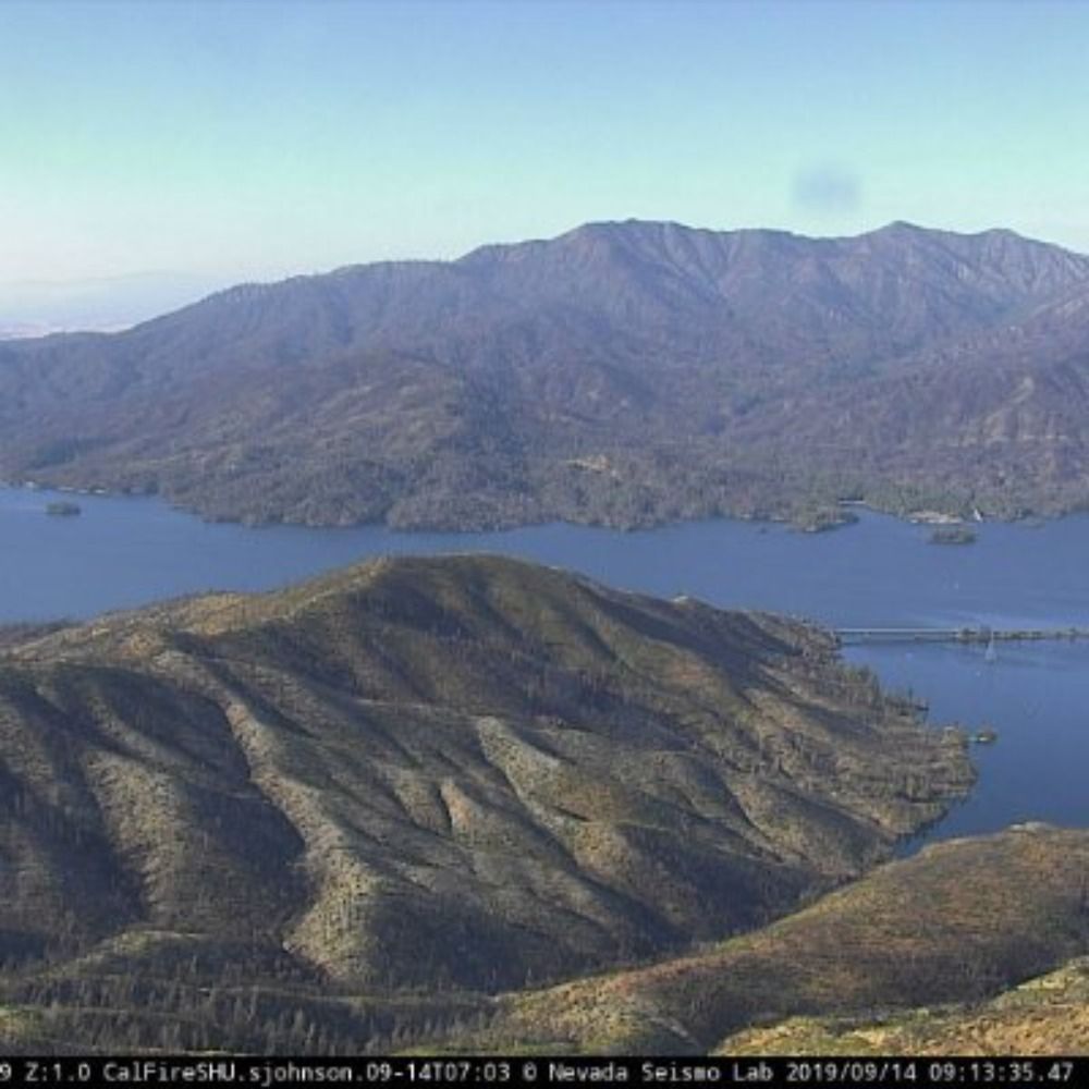
Mt Oso, Stanislaus County, CA
🗺37.5069, -121.3735 🧭161° ⛰3261 ft
https://ops.alertcalifornia.org/cam-console/2184
🗺37.5069, -121.3735 🧭161° ⛰3261 ft
https://ops.alertcalifornia.org/cam-console/2184
November 30, 2025 at 4:04 PM
Mt Oso, Stanislaus County, CA
🗺37.5069, -121.3735 🧭161° ⛰3261 ft
https://ops.alertcalifornia.org/cam-console/2184
🗺37.5069, -121.3735 🧭161° ⛰3261 ft
https://ops.alertcalifornia.org/cam-console/2184
Sonora Peak East, Tuolumne County, CA
🗺37.9799, -120.4029 🧭327° ⛰2418 ft
https://ops.alertcalifornia.org/cam-console/2405
🗺37.9799, -120.4029 🧭327° ⛰2418 ft
https://ops.alertcalifornia.org/cam-console/2405

November 30, 2025 at 3:33 PM
Sonora Peak East, Tuolumne County, CA
🗺37.9799, -120.4029 🧭327° ⛰2418 ft
https://ops.alertcalifornia.org/cam-console/2405
🗺37.9799, -120.4029 🧭327° ⛰2418 ft
https://ops.alertcalifornia.org/cam-console/2405
Zinfandel 1, Napa County, CA
🗺38.4687, -122.4776 🧭145° ⛰1325 ft
https://ops.alertcalifornia.org/cam-console/2522
🗺38.4687, -122.4776 🧭145° ⛰1325 ft
https://ops.alertcalifornia.org/cam-console/2522
November 30, 2025 at 3:04 PM
Zinfandel 1, Napa County, CA
🗺38.4687, -122.4776 🧭145° ⛰1325 ft
https://ops.alertcalifornia.org/cam-console/2522
🗺38.4687, -122.4776 🧭145° ⛰1325 ft
https://ops.alertcalifornia.org/cam-console/2522
Mtn High North 2, LosAngeles County, CA
🗺34.3828, -117.6841 🧭240° ⛰7477 ft
https://ops.alertcalifornia.org/cam-console/2203
🗺34.3828, -117.6841 🧭240° ⛰7477 ft
https://ops.alertcalifornia.org/cam-console/2203

November 30, 2025 at 2:33 PM
Mtn High North 2, LosAngeles County, CA
🗺34.3828, -117.6841 🧭240° ⛰7477 ft
https://ops.alertcalifornia.org/cam-console/2203
🗺34.3828, -117.6841 🧭240° ⛰7477 ft
https://ops.alertcalifornia.org/cam-console/2203
Mt Aukum 2, eldorado County, CA
🗺38.5739, -120.7270 🧭95° ⛰2605 ft
https://ops.alertcalifornia.org/cam-console/2149
🗺38.5739, -120.7270 🧭95° ⛰2605 ft
https://ops.alertcalifornia.org/cam-console/2149
November 30, 2025 at 2:04 PM
Mt Aukum 2, eldorado County, CA
🗺38.5739, -120.7270 🧭95° ⛰2605 ft
https://ops.alertcalifornia.org/cam-console/2149
🗺38.5739, -120.7270 🧭95° ⛰2605 ft
https://ops.alertcalifornia.org/cam-console/2149