
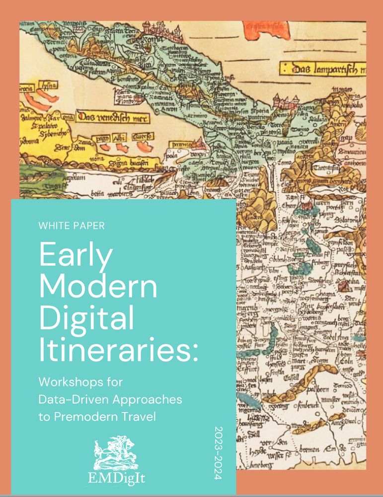
Early Modern Digital Itineraries (EMDigIt)
@emdigit.bsky.social
1.4K followers
17 following
14 posts
Account for the Early Modern Digital Itineraries Project, transforming printed itineraries into tools for understanding the history of travel 🧭 Find out more at https://emdigit.org
Posts
Media
Videos
Starter Packs
Reposted by Early Modern Digital Itineraries (EMDigIt)


Reposted by Early Modern Digital Itineraries (EMDigIt)

Reposted by Early Modern Digital Itineraries (EMDigIt)

Reposted by Early Modern Digital Itineraries (EMDigIt)

Reposted by Early Modern Digital Itineraries (EMDigIt)


Reposted by Early Modern Digital Itineraries (EMDigIt)


Reposted by Early Modern Digital Itineraries (EMDigIt)


Reposted by Early Modern Digital Itineraries (EMDigIt)


Reposted by Early Modern Digital Itineraries (EMDigIt)

Reposted by Early Modern Digital Itineraries (EMDigIt)

Reposted by Early Modern Digital Itineraries (EMDigIt)

Reposted by Early Modern Digital Itineraries (EMDigIt)


Reposted by Early Modern Digital Itineraries (EMDigIt)


Reposted by Early Modern Digital Itineraries (EMDigIt)


Reposted by Early Modern Digital Itineraries (EMDigIt)
Reposted by Early Modern Digital Itineraries (EMDigIt)