Julie Elliott
@julieelliott.bsky.social
2.9K followers 510 following 310 posts
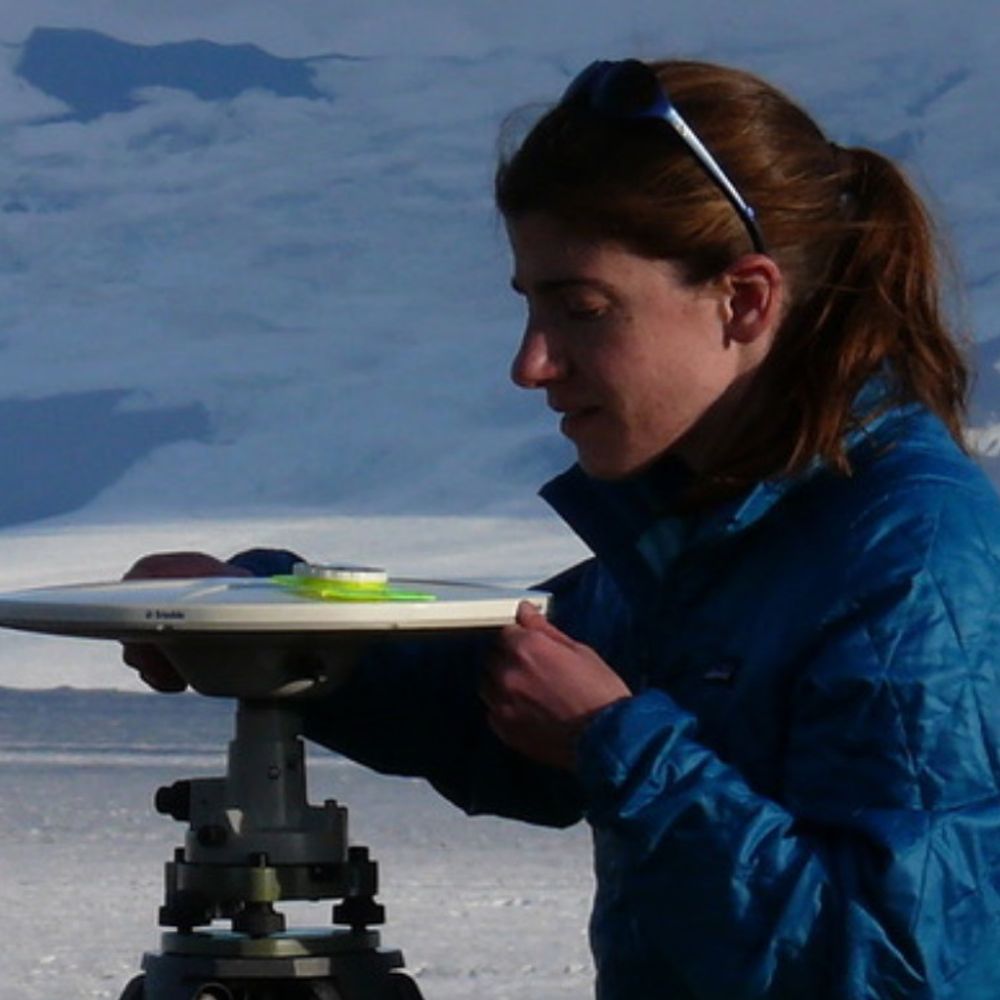
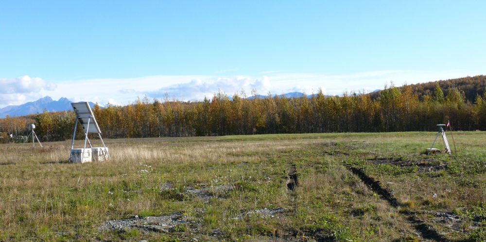
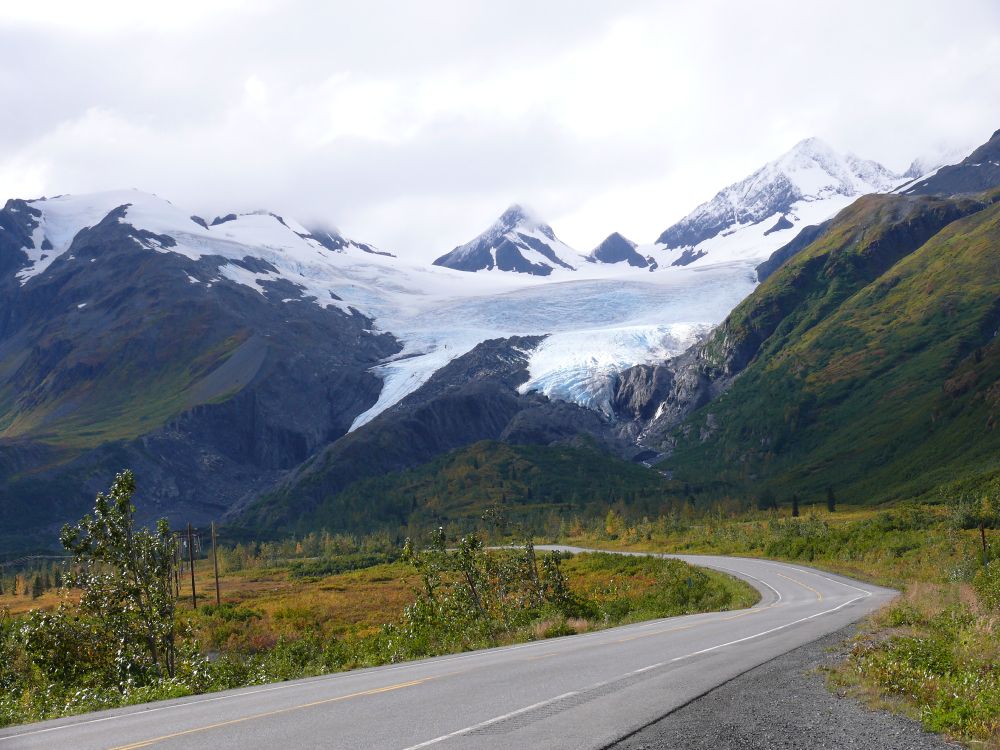
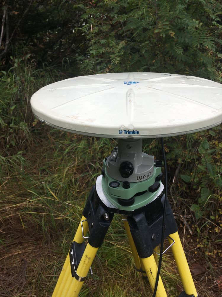
Research Faculty at Michigan State University. Geodesy, Tectonics, and Glaciers. All opinions my own.
Posts Media Videos Starter Packs
julieelliott.bsky.social
I was just able to download.
Reposted by Julie Elliott
tjukanov.bsky.social
It’s happening again in November. 30 days and 30 themes for maps. Take part, learn something new and have fun. That’s what #30DayMapChallenge is about 🌎
julieelliott.bsky.social
For #FieldworkFriday, some of the benchmarks I've surveyed over the past few weeks. Some are more challenging to use than others, but they're all interesting. #geodesy ⚒️🧪
Brass disk with a circle in the center.  Inside the circle is a line with a punchmark/divot in the center.  In concentric circles around the center circle are inscriptions: "4240T 2000 For Info Contact Director Washington DC National Ocean Service Bench Mark". Brass disk recessed into paving.  A layer of mud and moss had to be removed to find it.  There is a circle in the center of the disk with two lines dividing the circle into quarters.  Around the outer edge of the benchmark are the words "Z22A 1994 National Ocean Service". A brass disk sites in rock.  In the middle of the disk is a triangle with a center divot.  At the top of the Triangle, it says TSINA EASTBASE.  At the bottom, it gives the year as 1941.  Around the edge of the benchmark are the words U.S. Coast & Geodetic Survey Triangulation Station.
julieelliott.bsky.social
New Paper! We investigate the first several months of postseismic motion following the M8.2 2021 Chignik earthquake on the Alaska subduction zone and how that motion can help improve our understanding of coseismc slip. ⚒️🧪 agupubs.onlinelibrary.wiley.com/doi/10.1029/...
agupubs.onlinelibrary.wiley.com
Reposted by Julie Elliott
earthscope.org
EarthScope is excited to be undertaking operations of the NSF National Geophysical Facility, as of October 1. Curious what this means in terms of geophysical research and education support? Check out these helpful FAQs.
⬇️
https://ngf.earthscope.org/
Graphic with text "Powering geophysics, empowering a resilient society" with the NSF and National Geophysical Facility logos over a red to purple landscape gradient
julieelliott.bsky.social
A campaign GNSS site in Willow, Alaska, set up to tie previous time series with the new EarthScope/NOTA continuous GNSS site nearby (the old NOTA site got whacked by a snow plow). The white crags in the center background are Mt. Foraker (left), Mt. Hunter (middle right), and Denali (far right). ⚒️🧪
A yellow tripod is set up over a recessed benchmark (that had to be dug out of mud and moss).  A white GNSS antenna sites on the tripod.  A yellow case sites next to the tripod and holds a GNSS receiver.  A battery sits next to the case and is connected to the receiver.  Orange cones with reflective strips stand at each tripod leg because the site is at an airport and needs to be visible.  A gravel and concrete air strip edged with trees stretches into the background.  In the far center background, three large snow covered peaks show above the horizon.  the sky is blue with only a few puffy clouds.
julieelliott.bsky.social
Engaged in a bit of gardening this morning. In related news, I'm pretty sure I know why data from this GNSS site has been showing high levels of noise. Also, I hate cottonwood, alder, and their ilk. ⚒️🧪
A stainless steel GNSS antenna monument with three angled legs and one vertical center leg stands in the middle of the photo.  A gray radome (with a GNSS antenna inside) is at the top of the monument.  Nasty, nasty alder, cottonwood, and other plants have grown very tall around the monument, intertwining their evil branches with the monument legs and interfering with GNSS satellite signals reaching the antenna properly. A stainless steel GNSS antenna monument with three angled legs and one vertical center leg stands in the middle of the photo.  A gray radome (with a GNSS antenna inside) is at the top of the monument.  You can see the monument now as the nasty vegetation has been broken down and stripped back.  The vegetation in the around surrounding the monument has also been broken off and stamped down, so the antenna should be able to receive better signals.
julieelliott.bsky.social
It might seem odd to set up a campaign GNSS site next to a continuous GNSS station, but running both at the same time allows the continuous time series to be tied to the longer campaign times series. Long time series rule! ⚒️🧪
A grassy field is edged with orange and gold trees with a blue sky overhead.  Mountains peak out of clouds behind the trees.  On the left side of a field, a welded GNSS antenna monument with a gray radome (with antenna inside) stands near a solar panel array with two gray boxes holding electronics and batteries.  On the right side of the field, a yellow tripod set up over a campaign benchmark holds up a white GNSS antenna.  A yellow box with a receiver and a battery sits near the base of one of the tripod legs.
Reposted by Julie Elliott
watershedlab.bsky.social
Derek Cronmiller from Yukon Geological Survey published this case study of an unusual landslide tsunami 🧪⚒️🌊

link.springer.com/article/10.1...
The 17 december 2024 Takhini River landslide and river-ice tsunami, Whitehorse, Yukon, Canada - Landslides
On 17 December 2024, a 118,000-m3 landslide on a cut bank of the Takhini River, Yukon, broke through the river-ice and generated a tsunami. The tsunami transported blocks of river-ice up to 250 m from the landslide deposit and destroyed vegetation on the opposite riverbank splintering and uprooting trees more than 20 cm in diameter. River-ice blocks in the tsunami deposit commonly exceed 4 m2 and 30-cm thickness. Snapped branches and impact scars on the trunks of four surviving trees in the tsunami impact area record damage from rafted ice up to 2.5-m height. The landslide-generated tsunami increased the hazard-affected area by 260% from 2.8 ha to 7.2 ha. The ice cover on the river effectively concentrated the tsunami hazard by reducing its overall footprint while increasing the damage in affected areas through entrainment of ice blocks; this effect is an important consideration for future landslide and tsunami hazard assessments in cold regions. Residual hazard at the site includes additional landslides from the landslide scar and altered river dynamics due to obstruction by the landslide deposit. Erosion rates of a previous smaller landslide suggest that the obstruction in the river is likely to remain for at least a decade. The lack of conspicuous triggers for this landslide points to the importance of progressive failure processes in a dry brittle soil slope over-steepened by fluvial erosion.
link.springer.com
julieelliott.bsky.social
Some last photos from a GNSS field campaign done a couple of weeks ago before I head up to Alaska again for one more survey before snow sets in. There is bedrock under the benchmark - it was a very good moss season this summer. This site is near Thompson Pass in the Chugach. #FieldworkFriday 🧪⚒️
A round brass benchmark with "US Coast and Geodetic Survey" around the edge in bedrock covered with green moss. A metal spike mount (two adjustable arms holding a spike which sits onto of a benchmark) holds a white GNSS antenna.  The site is on a mossy outcrop of rock surrounding by trees, some of which are starting to turn yellow. Worthington glacier near Thompson Pass, Alaska splits into two branches as it goes to lower elevations.  It has lost a lot of ice in recent decades.  The slopes around the glacier are green and gold.  A road curves through trees and tundra in the foreground.
julieelliott.bsky.social
I third Jason and @timbartholomaus.bsky.social is another possibility (his interests include iceberg calving at tidewater glaciers).
Reposted by Julie Elliott
rebeccarhelm.bsky.social
I get that the news cycle is packed right now, but I just heard from a colleague at the Smithsonian that this is fully a GIANT SQUID BEING EATEN BY A SPERM WHALE and it’s possibly the first ever confirmed video according to a friend at NOAA

10 YEAR OLD ME IS LOSING HER MIND (a thread 🧵)
Reposted by Julie Elliott
funwithgps.bsky.social
NEW: Surface mass balance monitoring of an alpine glacier using GNSS Interferometric Reflectometry, Togaibekov et al. bit.ly/46ugyaI 🧪
Photograph of an alpine glacier, with elevation lines and locations of sensors (GNSS, stakes, automatic weather station).
Reposted by Julie Elliott
earthscope.org
The NSF GAGE Facility helps monitor permanent GNSS stations that comprise the NASA Global GNSS Network (GGN). Data from these stations are used to produce highly accurate products that are essential for Earth science research, multidisciplinary applications, and education.

https://loom.ly/aZPV4w0
Split image with a GNSS antenna on a tropical island with the ocean in the background next to a world map showing station locations in the NASA GGN.
julieelliott.bsky.social
We have a new paper on background seismicity and aftershocks associated with several recent large earthquakes along the Alaska Peninsula. The two events in the Shumagin segment triggered many more aftershocks in the upper plate than the larger Chignik earthquake. 🧪⚒️ bit.ly/4nJQHT8
Deep‐Learning‐Based Catalog of Background Seismicity and Aftershocks of the 2020–2021 Large Earthquakes Along the Alaska Peninsula | Seismological Research Letters | GeoScienceWorld
Abstract. The Alaska Peninsula section of the Alaska‐Aleutian subduction zone shows significant along‐strike variations in seismic activity and
bit.ly
Reposted by Julie Elliott
sophielgilbert.bsky.social
🐻🐟😋 #FatBearWeek is why the internet was invented. These chonky ursids can have my attention and welcome to it. Sept 23-30th, vote for your favorites... @fatbearweek.bsky.social

The 2025 Bracket Reveal starts in 4 hours (September 22nd at 4pm Pacific):

www.youtube.com/watch?v=CN3k...
Fat Bear Week 2025 Bracket Reveal | Brooks Live Chat
YouTube video by Explore Bears & Bison
www.youtube.com
julieelliott.bsky.social
Hurry and pick your roster of favorites - Fat Bear Week is starting early this year. The elimination tournament starts next Tuesday. Check out the geology of Katmai in between rounds - it is a spectacular place. www.npr.org/2025/09/19/n...
Fat Bear Week is here early, and the bears are fat and playful
The famous bears of Alaska's Katmai National Park are enjoying an abundance of salmon, and even some playtime, as they pack on pounds to prepare for the winter.
www.npr.org
julieelliott.bsky.social
A permanent/continuously operating GNSS site in the Wrangells with fresh batteries and solar panels operating at full capacity (had to do some pruning). Hopefully it is now ready to collect data without interruption over the winter. ⚒️🧪
Trees in shades of gold, orange, light green, and dark green edge a field.  In the field, there is a GNSS antenna monument (steel pile driven pipe, about 5 feet tall) with a gray dome on top.  This radome protects the GNSS antenna underneath.  A long cable runs from the antenna to a gray plastic box (only a corner is visible).  The box contains batteries, electronics, and a GNSS receiver.  Next to the box, two solar panels are attached to a steel pole.  The sun is reflecting strongly off of the solar panels and some recently pruned vegetation is around the bottom of the pole.
julieelliott.bsky.social
Harbor seal doing its thing in Valdez Harbor.
Gray blue water (full of glacial sediment) fills most of the image, with a gray wooden dock in the top center of the scene.  There are wavy reflections of boat masts in the water.  In the bottom center, a gray and black spotted seal head is popping out of the water.  You can make out rest of the seal's body beneath the surface.
Reposted by Julie Elliott
earthscope.org
In June 2024, EarthScope Consortium submitted a proposal to the National Science Foundation to operate the National Geophysical Facility (NGF). We are thrilled to announce that EarthScope has been selected as the operator of NSF NGF.

➡️ https://loom.ly/gfaXxQ8
Graphic announcing EarthScope Consortium as operator of the NSF National Geophysical Facility
julieelliott.bsky.social
Definitely bites. There were some matching marks along the lower edge of the antenna.
julieelliott.bsky.social
I was thinking today about how much better I've been sleeping since I've been up here doing fieldwork.
julieelliott.bsky.social
A campaign GNSS site above an increasingly colorful Copper River Valley. The mountain at the center of the photo is Mount Blackburn, an eroded shield volcano and the tallest peak in the Wrangells. 20 years of surveying this benchmark and I've never seen Blackburn from here before. Gorgeous day. ⚒️🧪🌋
A yellow tripod with a white GNSS antenna on top sits among fall foliage with evergreens on the left and yellow shrubs on the right.  A river valley with a large river sits below the ridge the site is on.  More green and yellow trees stretch behind the river.  In the distance, a triangular ice covered mountain sits.  The sky is very blue. A river runs through a valley flanked by hills covered with dark evergreen tress and yellowing deciduous trees.  In the distance, a triangular ice and snow covered mountain sits.  Lower hills sit in front of it.
julieelliott.bsky.social
A tribute to the toughness and longevity of Trimble Zephyr Geodetic GPS/GNSS antennas: 18 years after the goat incident mentioned below, I just used the same antenna to set up a campaign survey site in another part of Alaska. Still tracks satellites just fine! #geodesy ⚒️🧪
A photo of a campaign GPS/GNSS site.  A yellow and black tripod takes up the lower part of the picutre.  A green tribrach and gray optical plummet (for leveling) are attached to the top of the tripod.  A white circular antenna is attached to the optical plummet.  The edge of the antenna facing the camera says "Trimble" in blue letters.  Just above the words are two bite marks made by a very curious and naughty mountain goat years earlier.
Reposted by Julie Elliott