Julio Novoa
@julio.geosky.dev
2.3K followers 1.5K following 150 posts
geospatial analysis | web development | project management
Posts Media Videos Starter Packs
Reposted by Julio Novoa
geosky.dev
We've extensively adopted #DuckDB for our #geospatial data processing workflows, and the performance gains are remarkable. Recent benchmarks show it can outperform #Spark by 100x on medium-sized datasets while eliminating infrastructure complexity.

blog.dataexpert.io/p/duckdb-can...
Reposted by Julio Novoa
joyofcode.xyz
New video on Svelte's best kept secret feature which helps you find any element on the page in the editor. 🔥

youtu.be/Qglbt8M8H_w
The Secret Svelte Feature You Should Know About
YouTube video by Joy of Code
youtu.be
julio.geosky.dev
#Gusnet is a #QGIS plugin for designing, editing, simulating, and visualizing #water distribution #networks using #EPANET’s trusted modeling engine.

www.gusnet.org
Gusnet Water Network Modeller — Gusnet - Piped Water Network Analysis 2.0.0 documentation
Documentation of the Gusnet plugin for QGIS
www.gusnet.org
Reposted by Julio Novoa
joyofcode.xyz
I wanted to release the Svelte 5 guide later since I was thinking about interactive examples but here you go if you like reading and I would love your feedback as I work on the video. 😄

joyofcode.xyz/learn-svelte
julio.geosky.dev
This is great stuff! Thank you, Matia.
julio.geosky.dev
#TerraMind is pretrained on dual-scale representations combining both token-level and pixel-level data across modalities

#geospatial #earthobservation
IBM-ESA TerraMind
TerraMind: Large-Scale Generative Multimodality for Earth Observation
ibm.github.io
julio.geosky.dev
Google’s #AlphaEarth Foundations is a #geospatial embedding model trained on a variety of Earth observation datasets. The model enables users to build any number of fine-tuning applications without running computationally expensive #deeplearning models
Introduction to the Satellite Embedding Dataset  |  Google Earth Engine  |  Google for Developers
developers.google.com
julio.geosky.dev
#A5 is a #geospatial index that partitions the world into pentagonal cells. The cells are available at 31 different resolution levels, with the largest cell covering the whole world, and the smallest less than 30mm². Within each resolution level the cells have equal area, as per the #OGC definition.
Introduction | A5
A5 is a geospatial index that partitions the world into pentagonal cells. The cells are available at 31 different resolution levels, with the largest cell covering the whole world, and the smallest le...
a5geo.org
julio.geosky.dev
Layer Cake is a #Svelte graphics framework that creates synchronized scales from your container dimensions and data ranges. It lets you build visualizations by combining reusable SVG, HTML, Canvas, or WebGL components that share the same coordinate system.

#dataviz #layercake
Layer Cake
A framework for mostly-reusable graphics with svelte
layercake.graphics
Reposted by Julio Novoa
giswqs.bsky.social
🚀 Visualizing Planet’s Tanager Hyperspectral Data in 3D! 🌍🛰️

Create an interactive image cube to explore the internal structure of all 426 spectral bands captured by Planet’s Tanager mission

📓 Notebook example: hypercoast.org/examples/tan...
💻 GitHub: github.com/opengeos/Hyp...
julio.geosky.dev
panel-material-ui, a #Panel extension that delivers a suite of modern components and a cohesive design system built on Material UI.

#python #dataviz
Panel Material UI Announcement – HoloViz Blog
Announcing the release of panel-material-ui, a new extension that wraps Material UI components in Panel.
blog.holoviz.org
Reposted by Julio Novoa
giswqs.bsky.social
🚀 The GeoAI Python package now allows you to easily load a model checkpoint and resume training with just one line of code! 🌟 This is particularly helpful for those times when training gets interrupted or when you want to fine-tune an existing model for different segmentation tasks.
julio.geosky.dev
📢 Exciting news for QGIS users! 🚀 Starting with version 3.44, new geometric and topological checks and corrections are available. Create automated validation chains with 21 verification and 10 correction processes! #QGIS #GIS #Geospatial
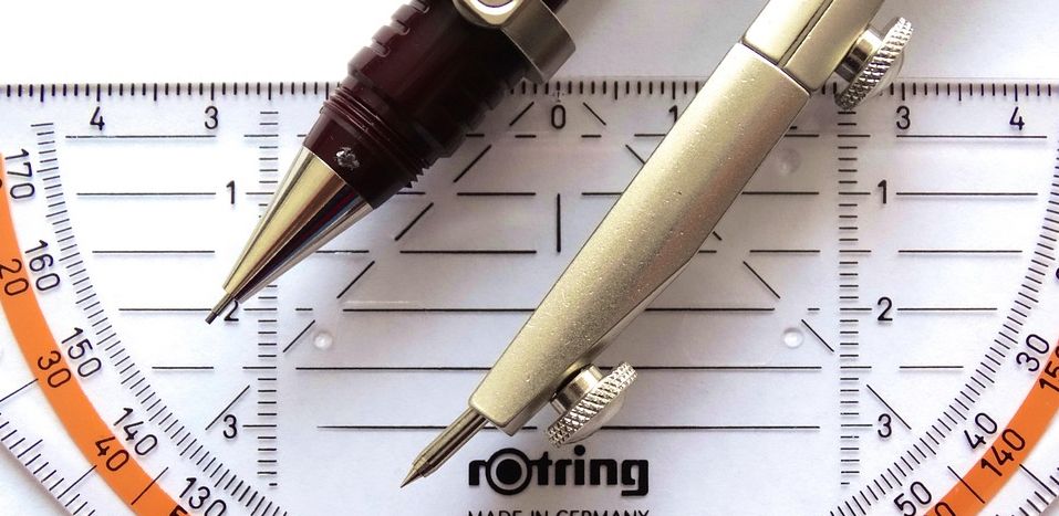
Geometric and Topological Checks and Corrections in QGIS
Credits: Pixabay (Pixabay Content License) The Importance of Compliance A geographic data layer must comply with many rules and constraints. For example: Geometric Topological Arbitrary rule...
oslandia.com
Reposted by Julio Novoa
observablehq.com
The hardest part about reusing charts can be getting your data into the expected shape. Learn common data formats consumed by Plot & D3 — and how to transform your data to match — so you can quickly reuse thousands of stunning, interactive visualizations: buff.ly/rJaX6pT
julio.geosky.dev
The ESA Biomass satellite has delivered its striking first images! This mission will provide crucial data on forest biomass and global carbon cycles, enhancing our understanding of Earth's ecosystems. #ESA #Biomass #EarthObservation #Forests #ClimateScience
Biomass satellite returns striking first images of forests and more
Today, at the Living Planet Symposium, ESA revealed the first stunning images from its groundbreaking Biomass satellite mission – marking a major leap forward in our ability to understand how Earth’s ...
www.esa.int